Iceland Travel Guide
Welcome to the taste2travel Iceland Travel Guide!
Date Visited: September 2017
Introduction
From Games of Thrones, Star Wars, Star Trek to Interstellar – whenever Hollywood director’s wish to shoot scenes in landscapes that are ‘otherworldly‘ they often turn to Iceland.
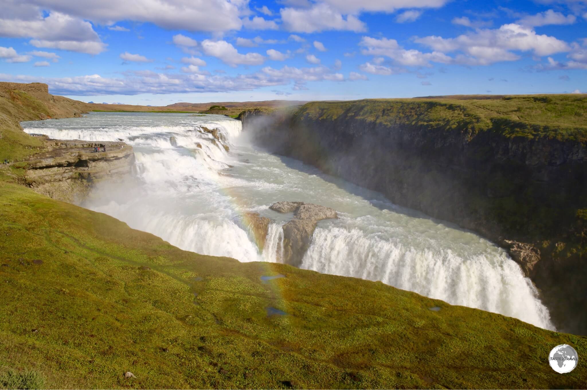
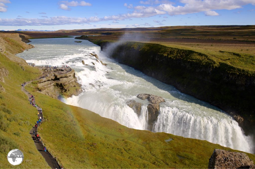
The incredible Gullfoss waterfall is a highlight in a country full of highlights.
The ‘Land of Fire & Ice‘ is a magical destination, full of incredible natural attractions (all of which are free to visit) set in landscapes which are totally surreal.
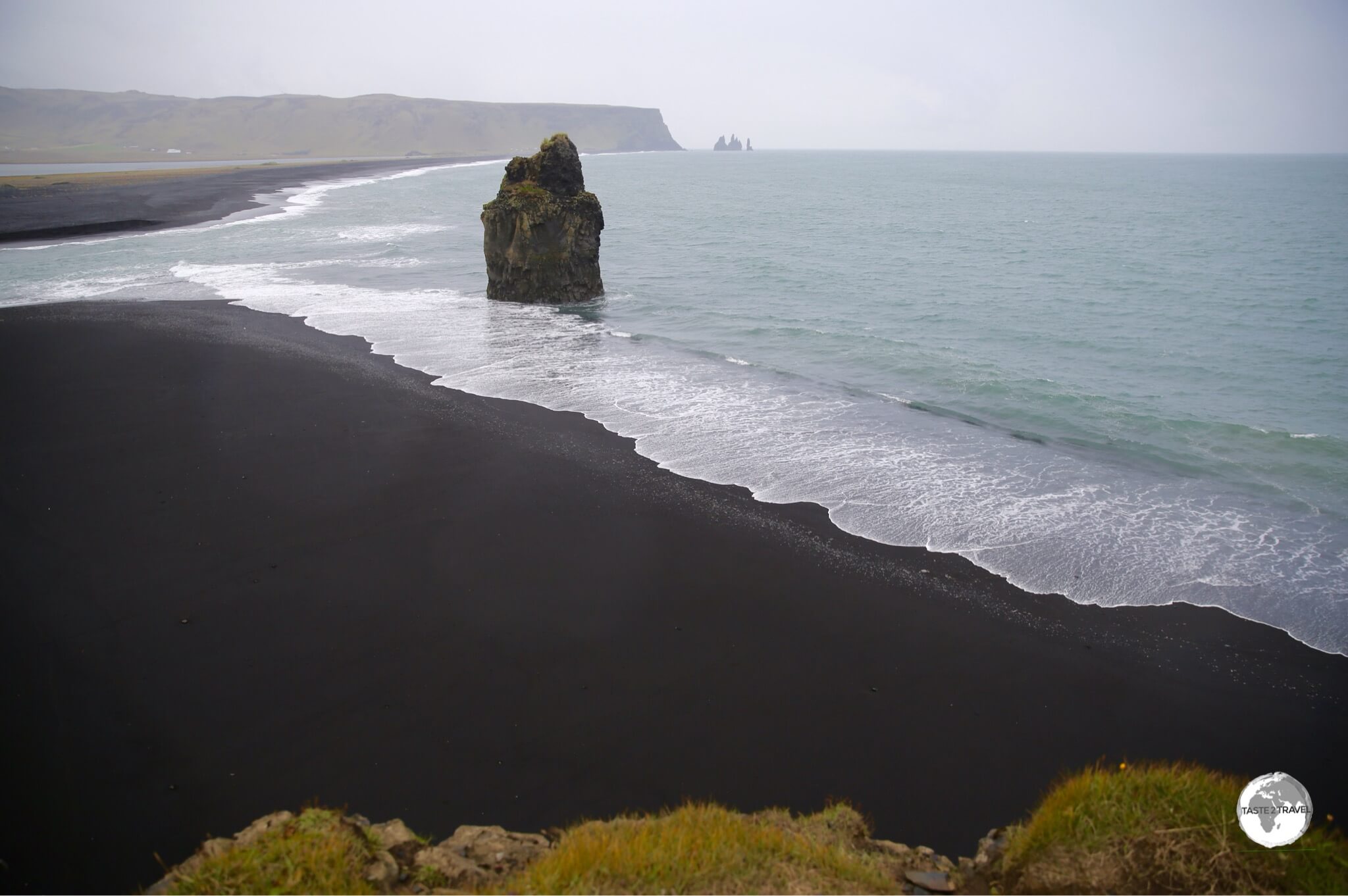
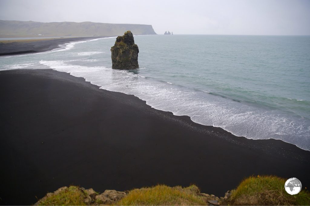
Arnardrangur or “Eagle Rock” stands sentinel on the very black Reynisfjara beach.
Iceland is an isolated volcanic island, located in the middle of the North Atlantic ocean at the top of the world (just below the Arctic circle) – an island of striking natural beauty with incredible geological marvels. If you have a yearning to travel somewhere completely different then Iceland is for you.
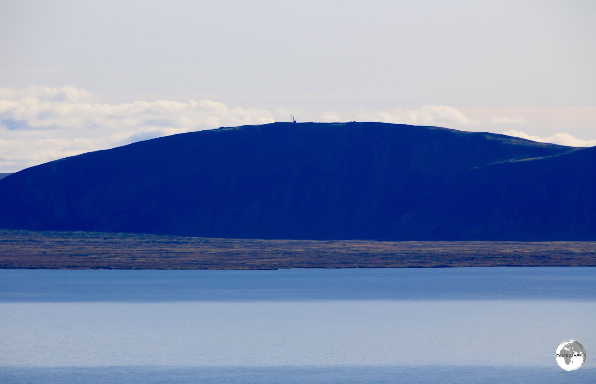
Þingvallavatn Lake, the largest lake in Iceland, lies within the Thingvellir National Park.
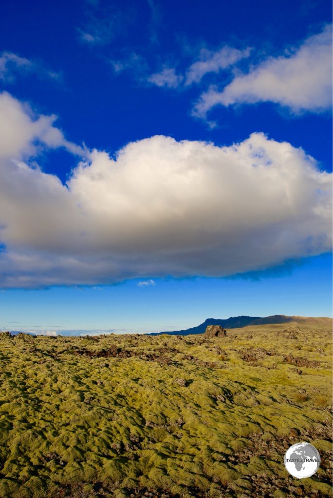
From eerie, moss-covered lava fields, treeless landscapes, active volcanos, powerful waterfalls, erupting geysers, gigantic glaciers (including the largest in Europe), dramatic black-sand beaches and spectacular coastlines, Iceland offers up one astounding view after another.
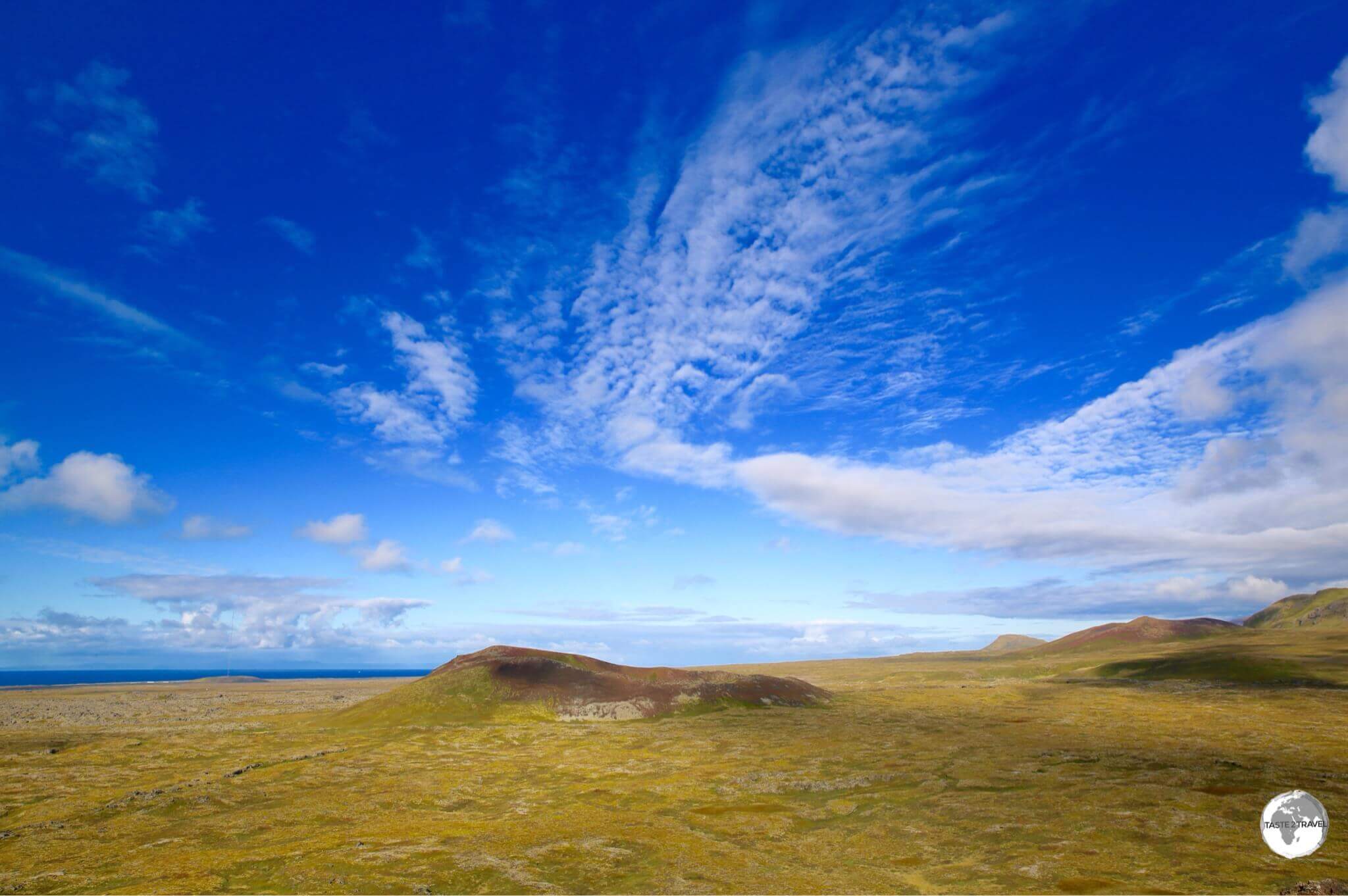
View from the summit of Saxholl Crater.
The island sits atop the mid-Atlantic ridge – a submarine mountain range which (at 40,000 km in length) is the world’s longest mountain range. It is believed that Bermuda was once part of the ridge but has moved further west over millions of years to it’s current location. The only place where this ridge breaches the ocean surface is Iceland.
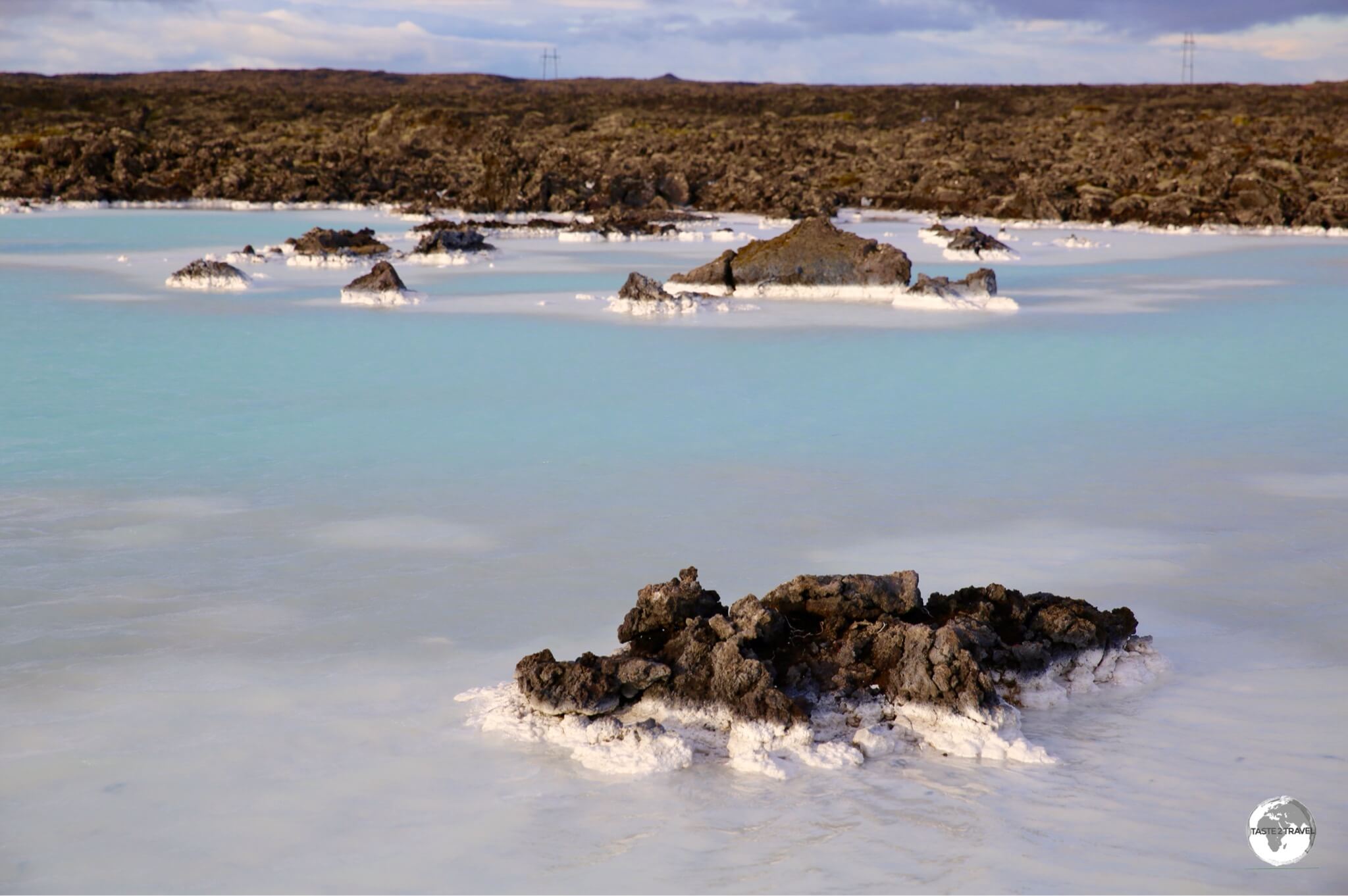
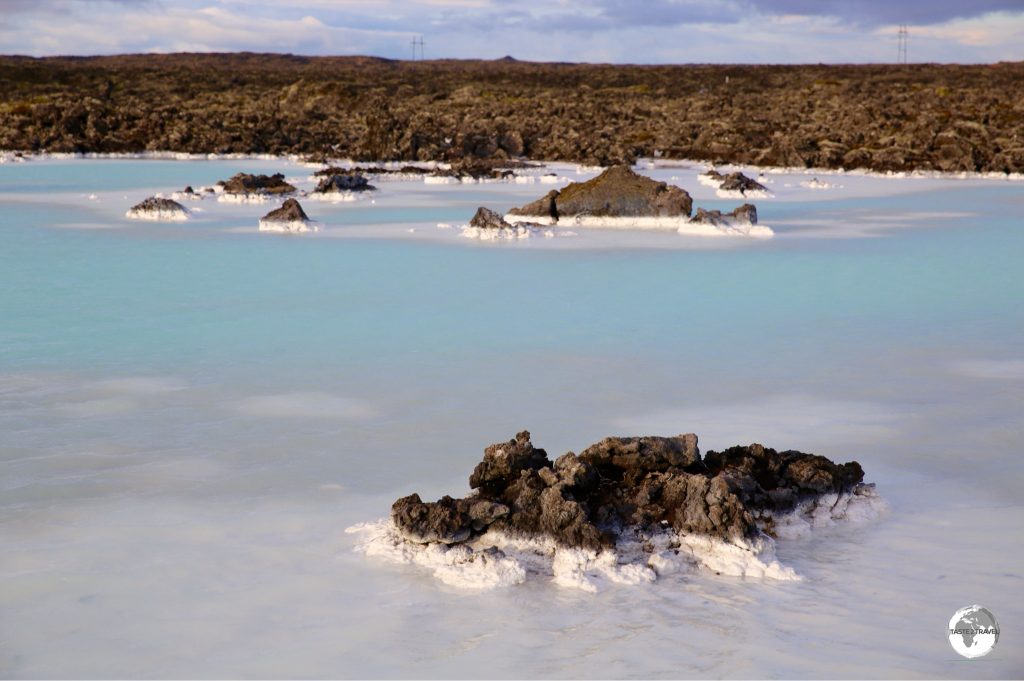
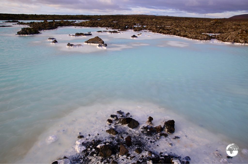
The milky-coloured water of Blue Lagoon.
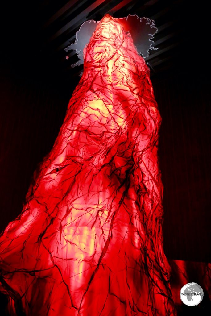
The ridge, which runs diagonally across the island, marks the point where the Eurasian and North American tectonic plates meet, which makes Iceland one of the most geologically active places on Earth. In geographical terms, Iceland is a young country, having been formed some 18 million years ago and, in many respects, is still being formed. The island also sits above a hot-spot, the Iceland Plume, which is believed to have caused the formation of the island itself.
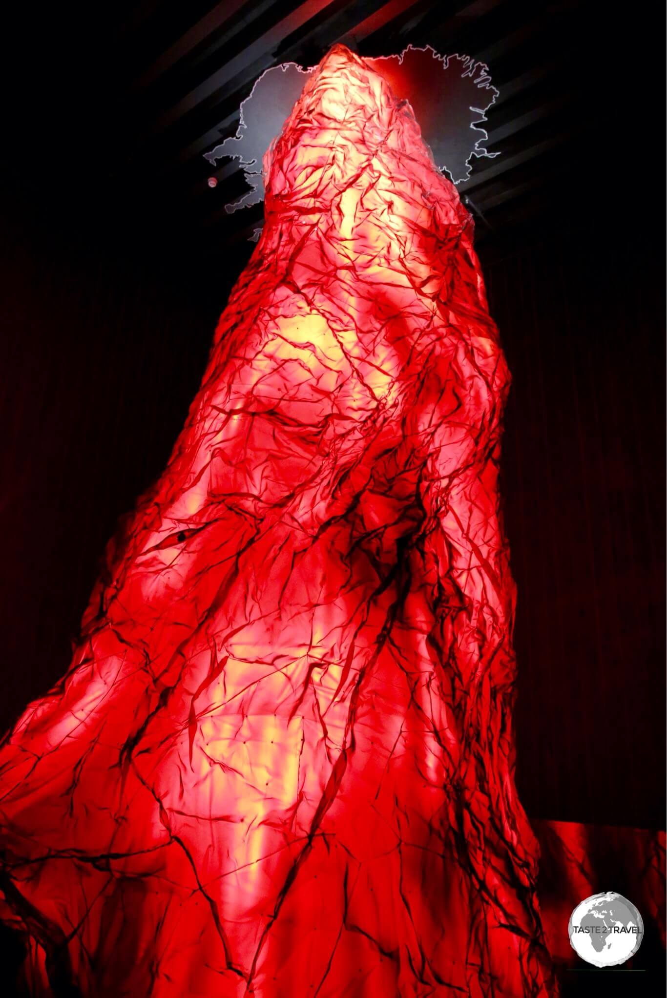
Mock-up of the Iceland Plume at the LAVA Centre.
Just as the landscapes are ‘otherworldly’, so too, prices in the Iceland can seem ‘out of this world‘. Iceland is not a travel bargain, with the country constantly being ranked as one of the most expensive in the world. Despite the high costs, thousands of tourists (including backpackers) are streaming in – many taking advantage of Icelandair’s free stopover offer (see the ‘Getting there‘ section below for more).
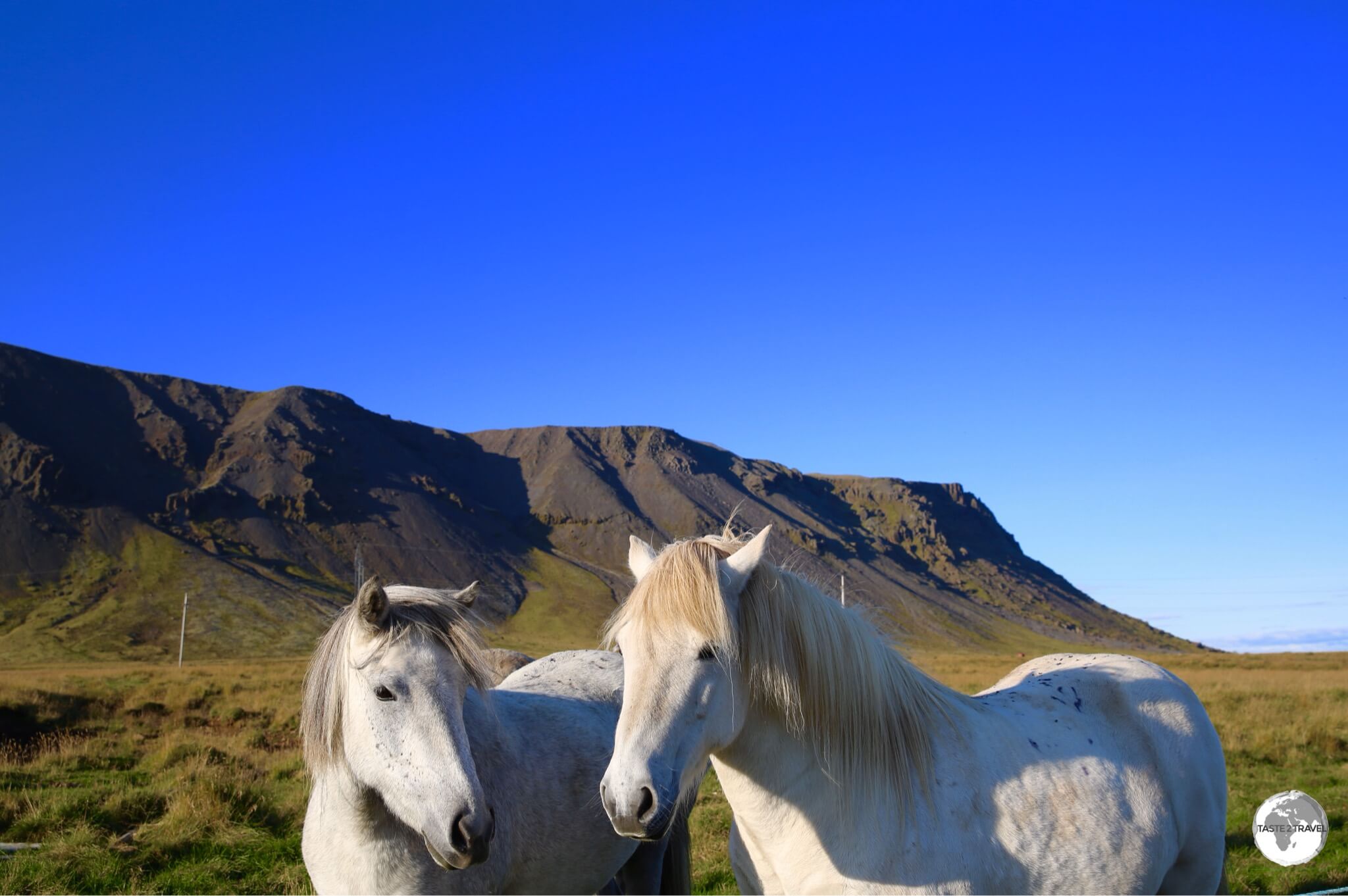
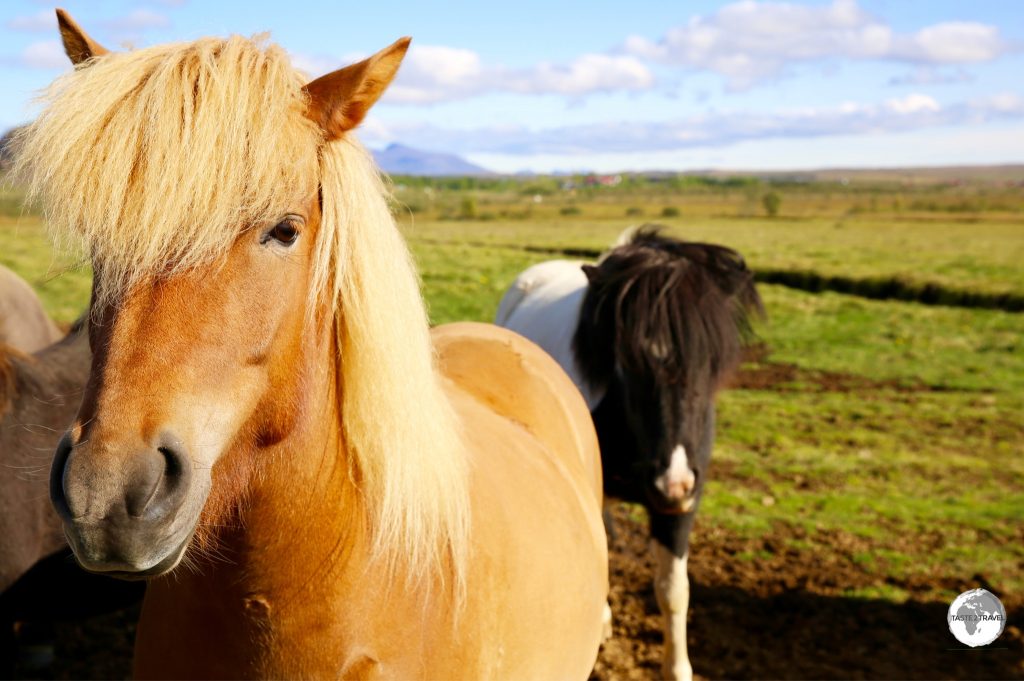
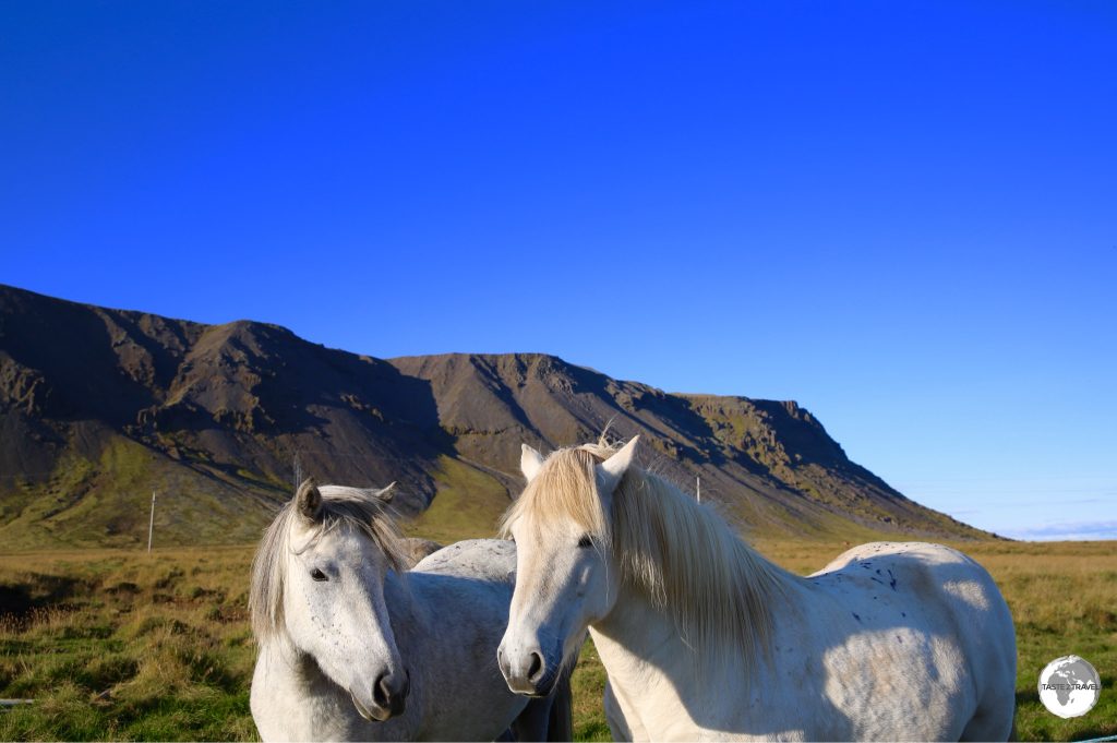
Icelandic horses can be seen all over the island.
While a budget guest house can cost in excess of US$100 per night, a restaurant meal US$40, a glass of craft beer US$15 or a cappuccino U$7 – costs can be reduced. Camper vans (see the ‘Getting Around‘ section below) equipped with beds are available for hire, while many guest houses offer kitchen facilities allowing guests to self-cater.
Lonely Planet provides a useful travel cost guide for Iceland with a recommended daily allowance of US$180 for budget travel. All natural attractions are free of charge but where tickets are required, they are expensive.
You can venture inside an extinct volcano which will cost you US$420 per ticket for the half day trip. You can go inside a glacier where the Classic tour will cost you US$190 for the 2-4 hour trip.
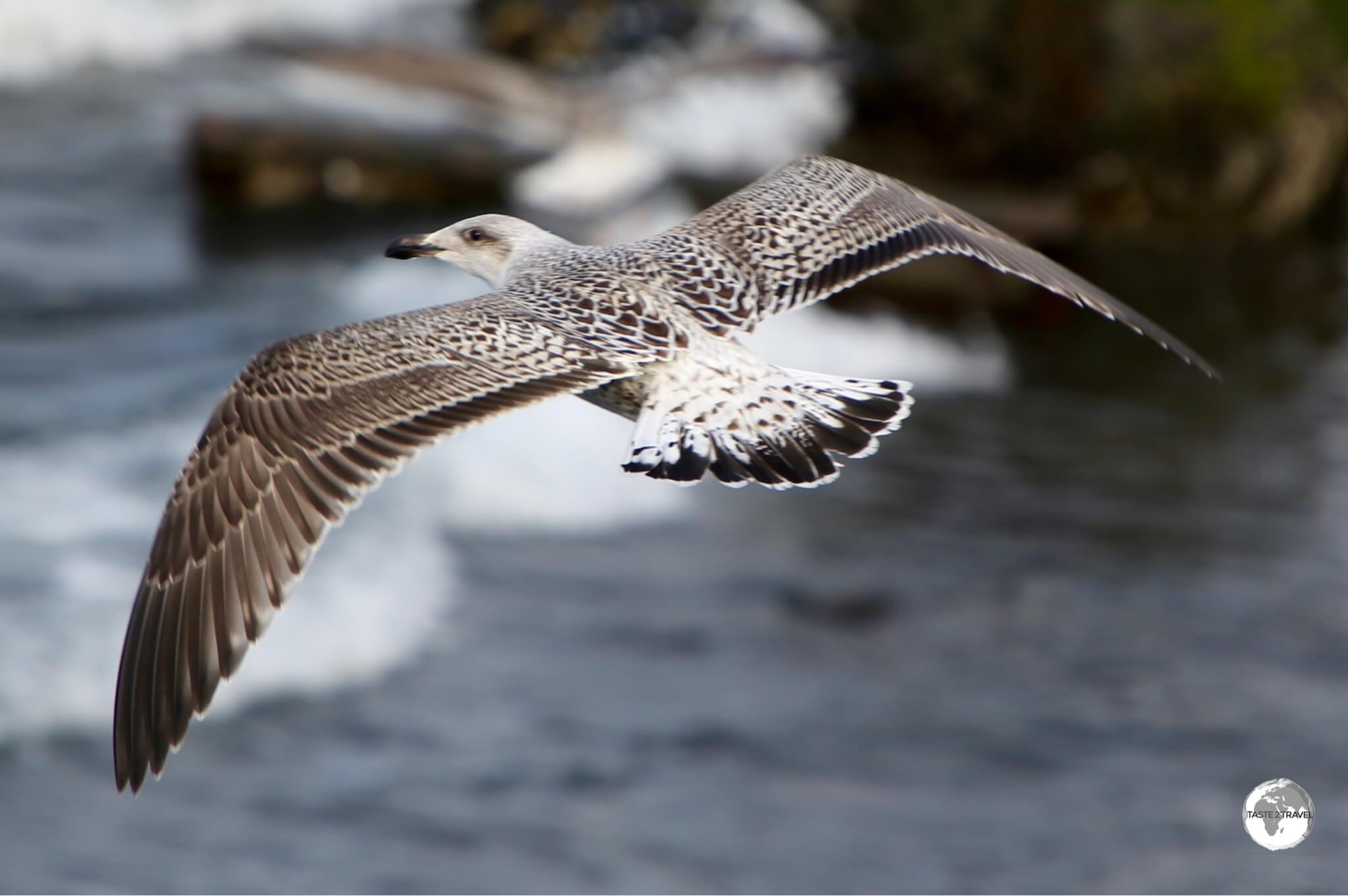
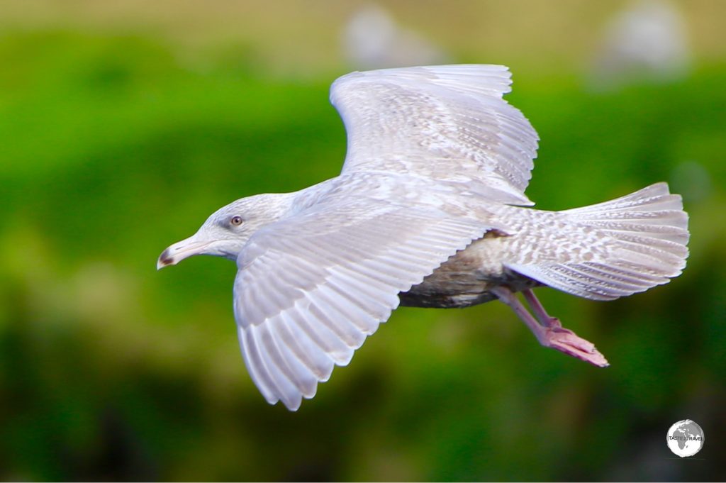
Iceland gull at Olafsvik.
Despite the high costs, there is something magical and enchanting about this cold, isolated, volcanic rock and everyone I met travelling there was firmly under its spell. If you ever have the chance to visit I recommend you do so.
One Degree of Separation…
The world can seem like a small place at times, but in Iceland it really is a small place. According to the genealogy website islendingabok.is, everyone in Iceland is related, with the entire population of 334,000 being derived from the same family tree. The website (whose name translates as ‘Book of Icelanders‘), claims to be the only genealogy database in the world that covers a whole nation, with more than 95 percent of all Icelanders born since 1703 registered into the database.
The creation of the website spawned the development of a unique app – islendingaApp – which allows Icelanders to learn about their family tree. More importantly, the app features a “bump” feature which allows two smartphones to be bumped together to check how closely related two individuals are. If they are too closely related, an “incest alarm” discreetly warns both users – thereby providing a degree of comfort for Icelandic daters that they won’t run into their date at a future family reunion.
Location
Reykjavík, Iceland
Located at the top of the world, Iceland can be found at the confluence of the North Atlantic and Arctic Oceans, east of Greenland, west of Norway and 450 km north-west of the Faroe Islands.
History
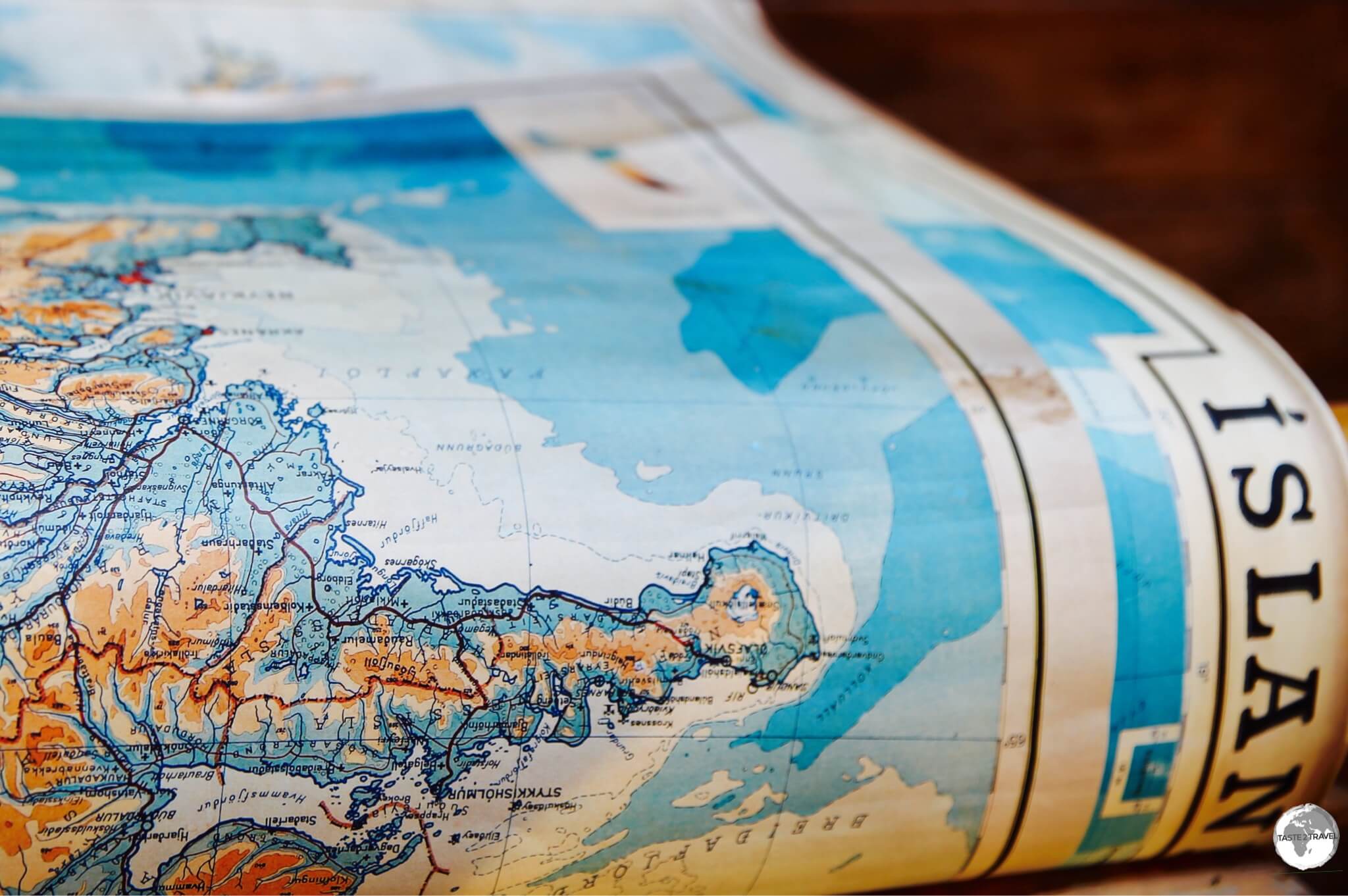
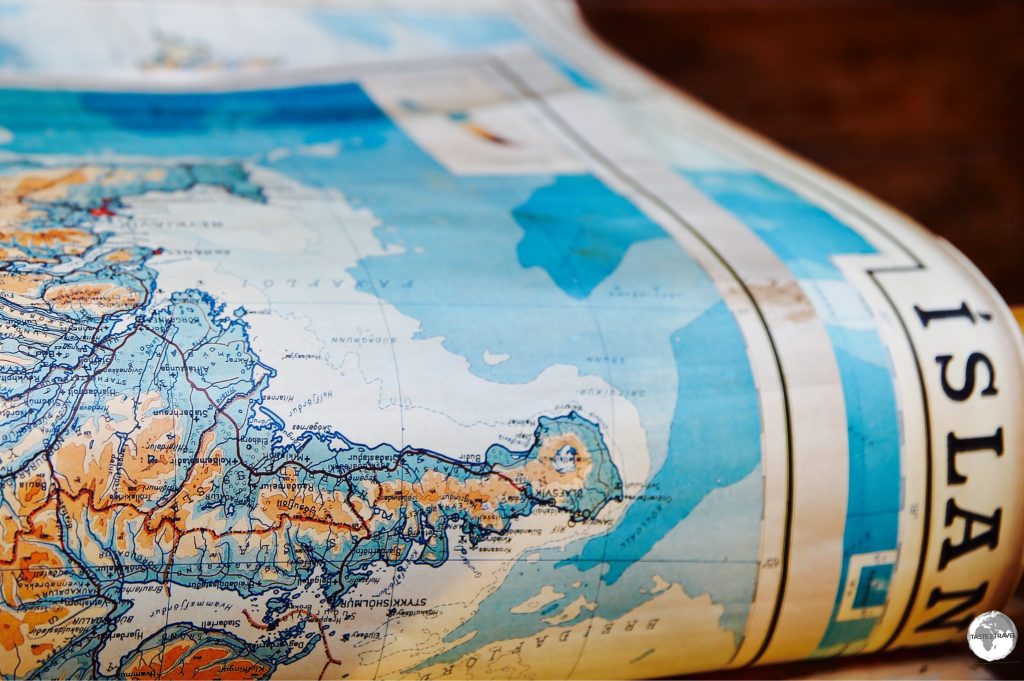
An antique map of Iceland, on display in Reykjavík.
Due to it’s remote location, Iceland was not settled until the 9th century when Viking explorers and their slaves arrived from Norway and the United Kingdom.
Once discovered, Norwegian settlers (who were fleeing conflict at home) flocked to the island. In 930, these settlers established a form of governance, the Althing, which became the Icelandic parliament and is today the world’s oldest continuous serving parliament.
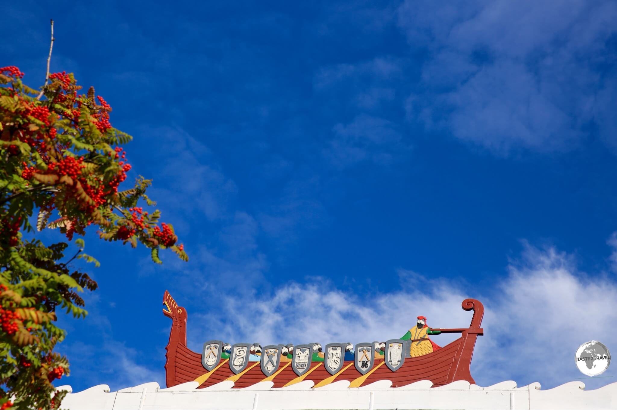
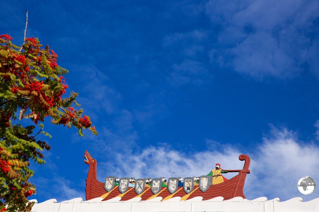
Viking ship rooftop decoration in Reykjavik.
The island managed to remain independent until the 13th century, when (due to internal conflicts weakening the country) it was subjugated to Norway. In the 16th century, the island became a Danish territory and remained so until the end of WWI.
Following the end of the war, Iceland became a sovereign nation but remained attached to Denmark by sharing the Danish monarchy. During WWII, and following the fall of Denmark to the Nazi’s, allied forces – led by British and later American forces – peacefully occupied the island to prevent a Nazi invasion. Following the end of WWII, Iceland severed all ties with Denmark and declared full independence.
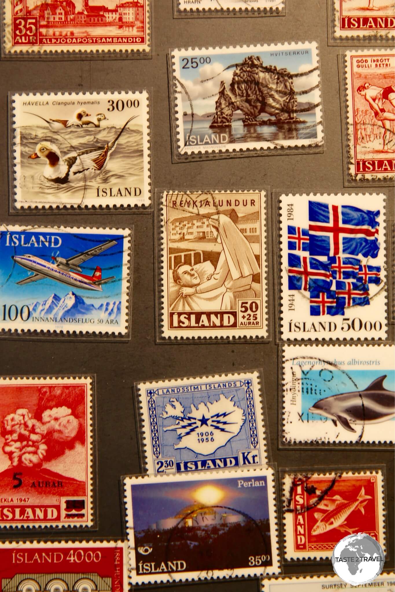
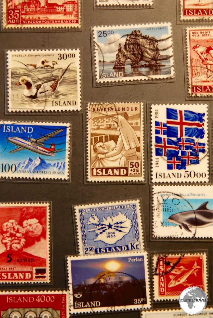
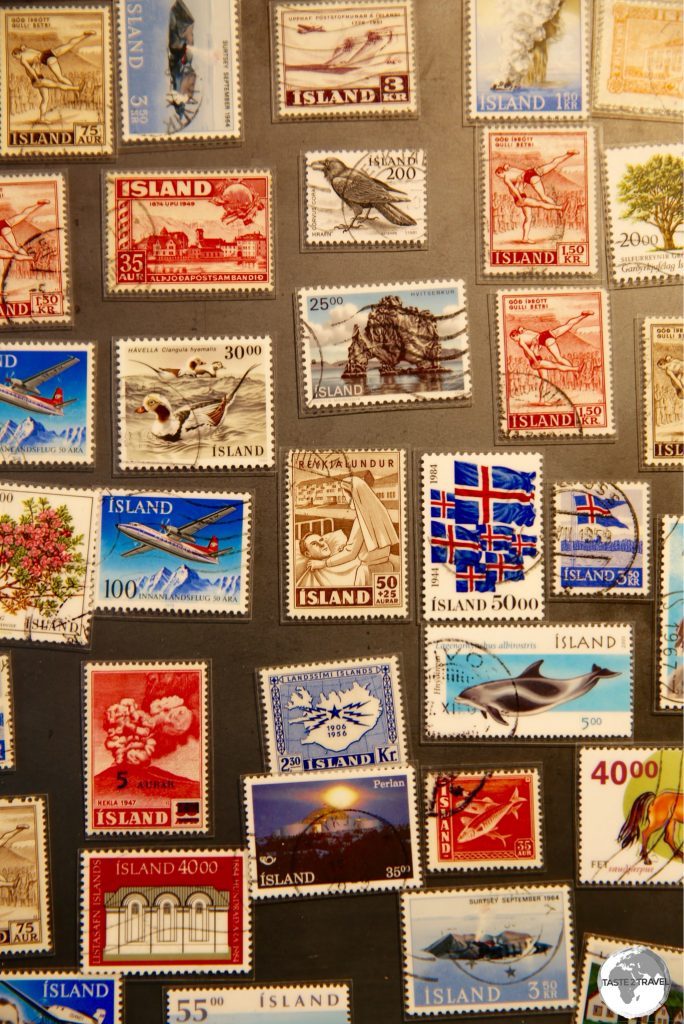
Stamps of Iceland.
Since gaining independence, this remote, sparsely populated island has often punched above it’s weight, being a founding member of the United Nations and NATO. A more comprehensive history of Iceland is available on Wikipedia.
Iceland Today
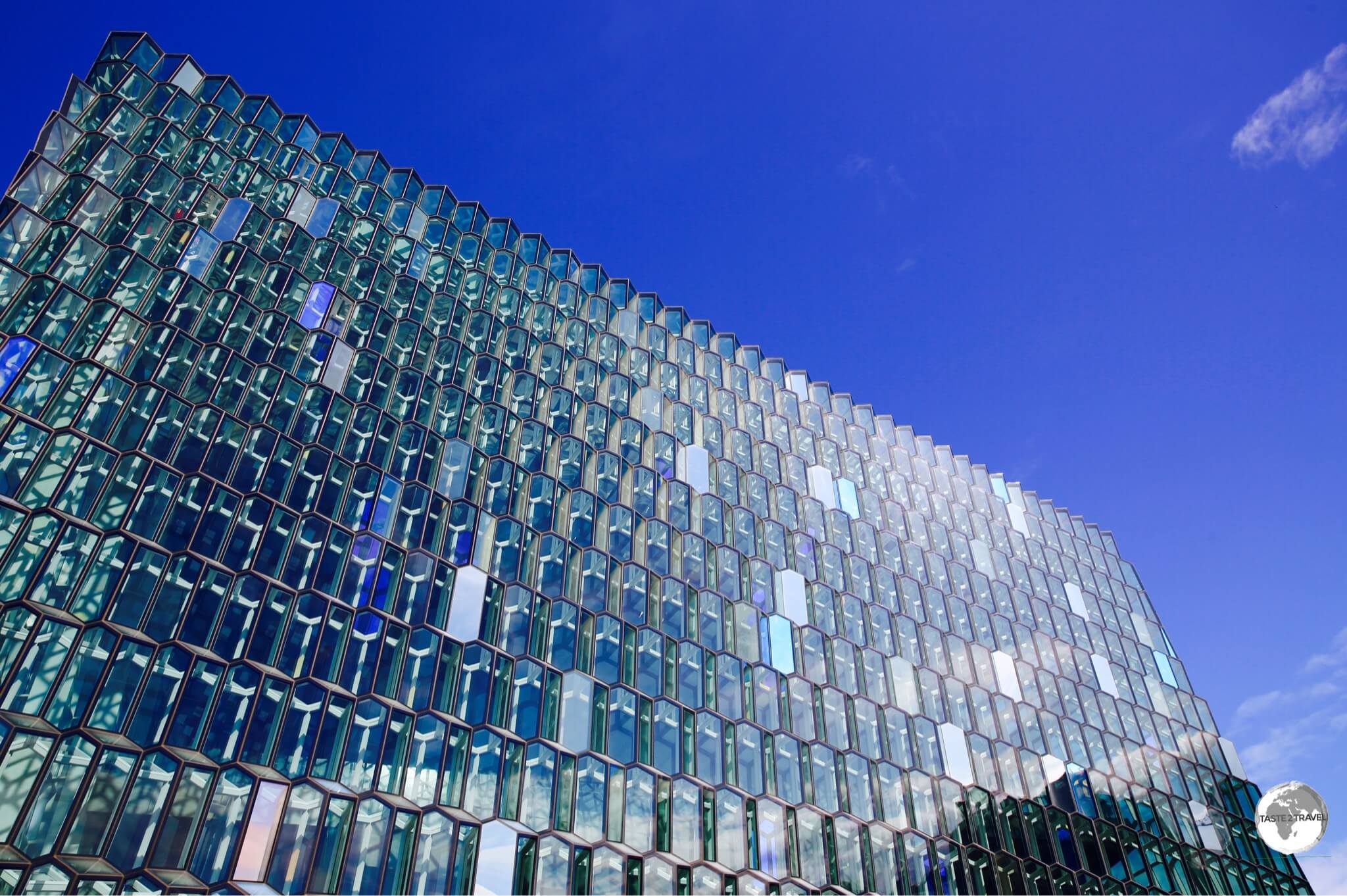
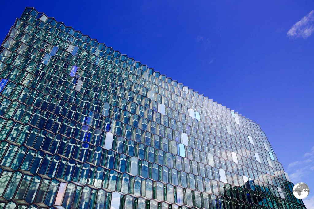
The distinctive coloured glass façade of the Harpa concert hall in Reykjavik is inspired by the basalt landscape of Iceland.
Until the 20th century, Iceland was among the poorest countries in Europe, but – thanks to strong economic growth – the country today is one of the most developed in the world and one of the greenest – deriving all power from renewable sources.
Prior to the 2007/ 2008 Global Financial Crisis, Iceland was ranked first in the world in the UN Human Development Index. During the financial crisis, the country made news headlines for all the wrong reasons, with its three largest banks collapsing under the weight of a debt burden which was estimated to be six times the nation’s gross domestic product. Despite entering a severe economic depression, the country slowly recovered thanks to the introduction of strict capital controls by the government and bailouts from the IMF and neighbouring Nordic countries.
Iceland is not a member of the EU but is part of the Schengen Area (a single European region for international travel purposes).
Currency
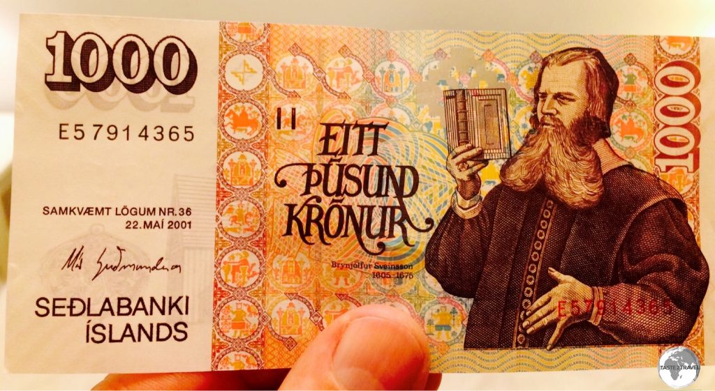
My Icelandic 1000 Krona bank note.
The official currency of Iceland is the Krona (kr) which trades under the international currency code of ISK.
Like the Nordic currencies (such as the Danish krone, Swedish krona and Norwegian krone) that participated in the historical Scandinavian Monetary Union, the name króna (meaning crown) comes from the Latin word corona (“crown”).
With a population of just 334,000 – Iceland has the distinction of being the second smallest country, after the Seychelles, to have its own currency and monetary policy.
The currency is issued by the Central Bank of Iceland but printed by Thomas de La Rue in the UK. Bank notes are issued in denominations of 500, 1000, 2000, 5000, 10000 krona with coins issued in denominations of 1, 5, 10, 50, 100 krona.
Current exchange rates are:
- USD $1 = 139 kr (click here to check the current rate)
- EUR €1 = 163 kr (click here to check the current rate)
- GBP £1 = 179 kr (click here to check the current rate)
Flag
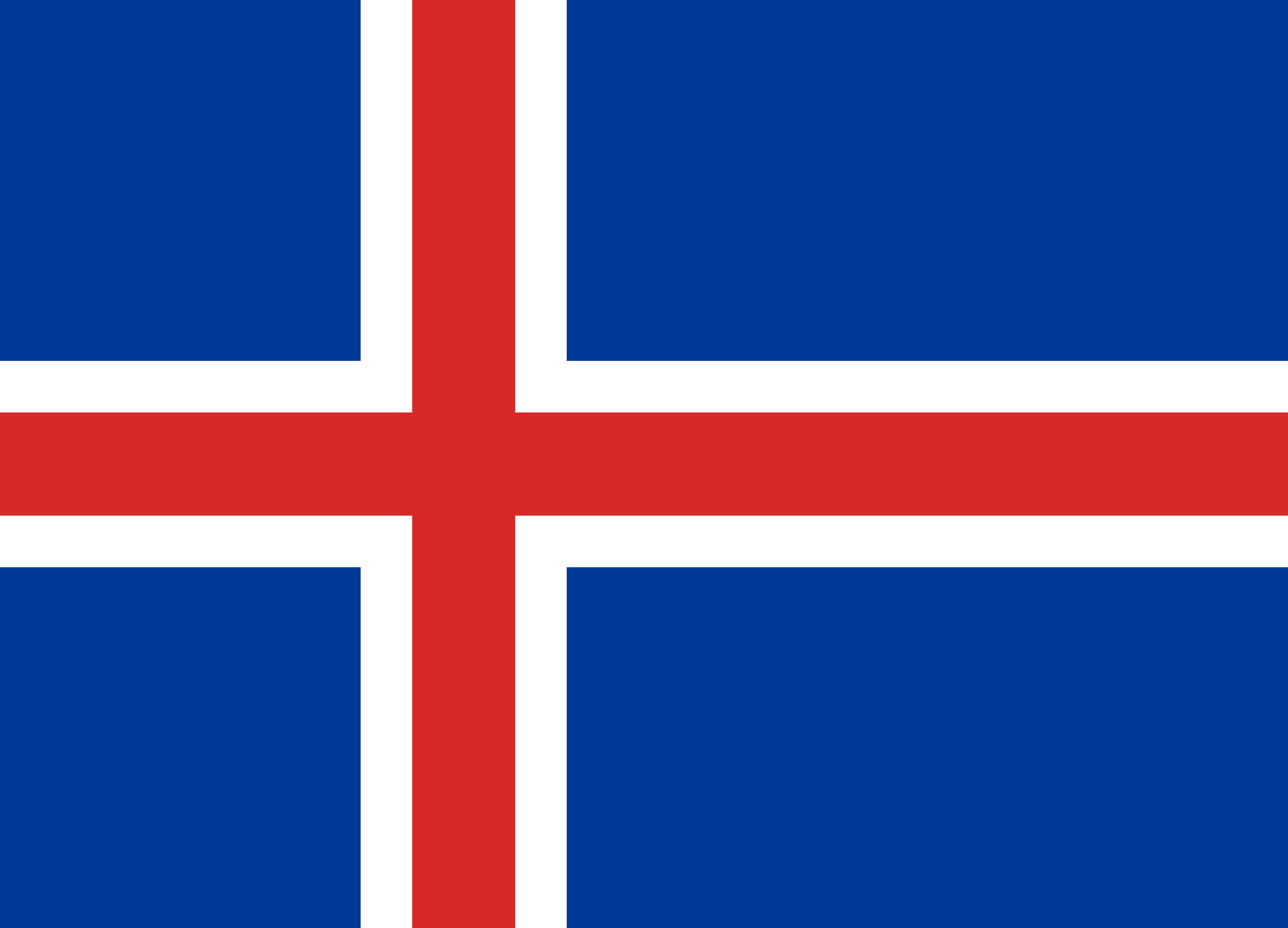
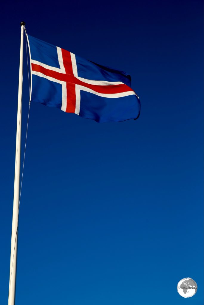
The flag of Iceland.
The flag of Iceland consists of a blue field with a white-edged, red Nordic cross that extends to the edges. The vertical part of the cross, which represents Christianity, is shifted to the hoist side.
The flag was adopted when Iceland gained independence from Denmark in 1918. The flag’s colouring represents a vision of the Icelandic landscape, with red representing the fire produced by the island’s volcanoes, white representing the ice and snow that covers Iceland, and blue being the mountains.
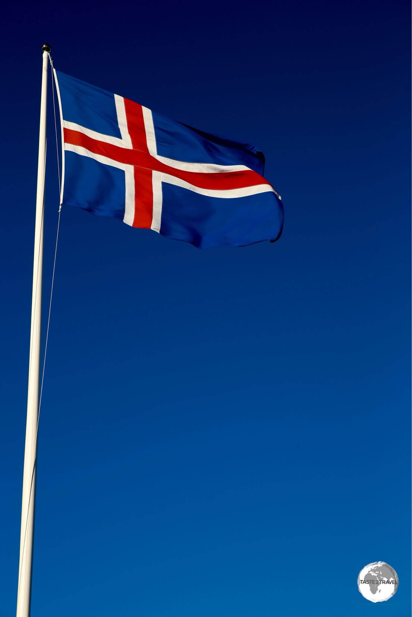
The flag of Iceland flying in Reykjavík.
The flag is protected by a law which states that using the flag is a privilege and not a right. The owner must follow instructions on its usage and make sure that his or her flag is in mint condition regarding colouring, wear and tear. It also states that no-one shall disrespect the flag in act or word, subject to a fine or imprisonment of up to one year.
Sights
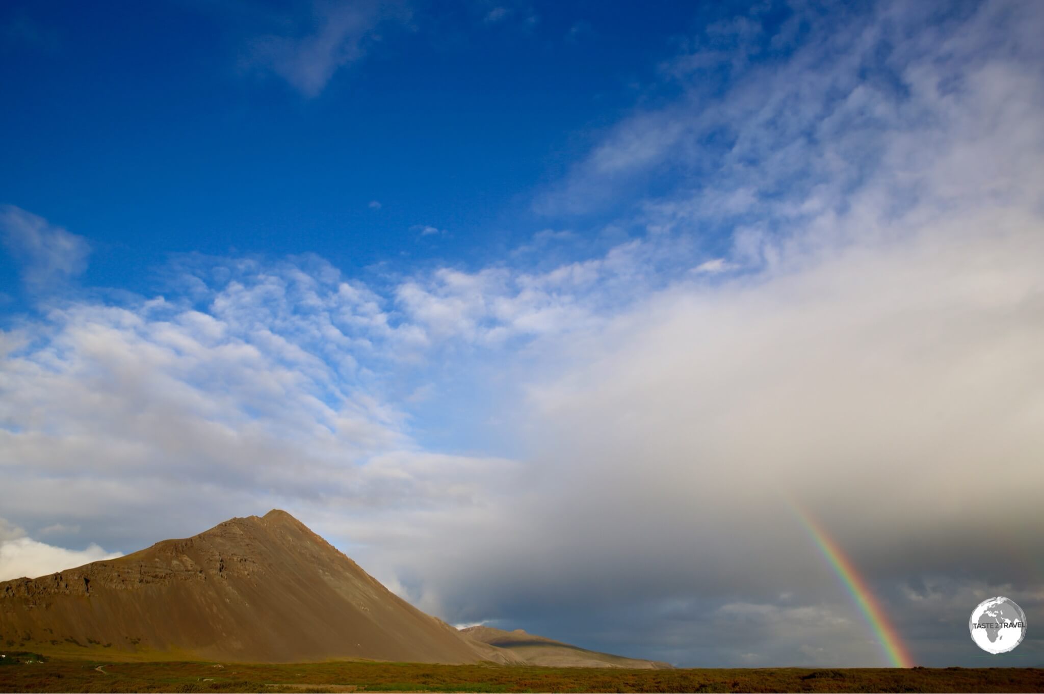
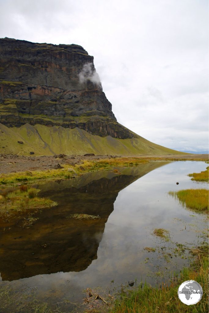
The land of fire and ice provides one stunning view after another.
Reykjavik
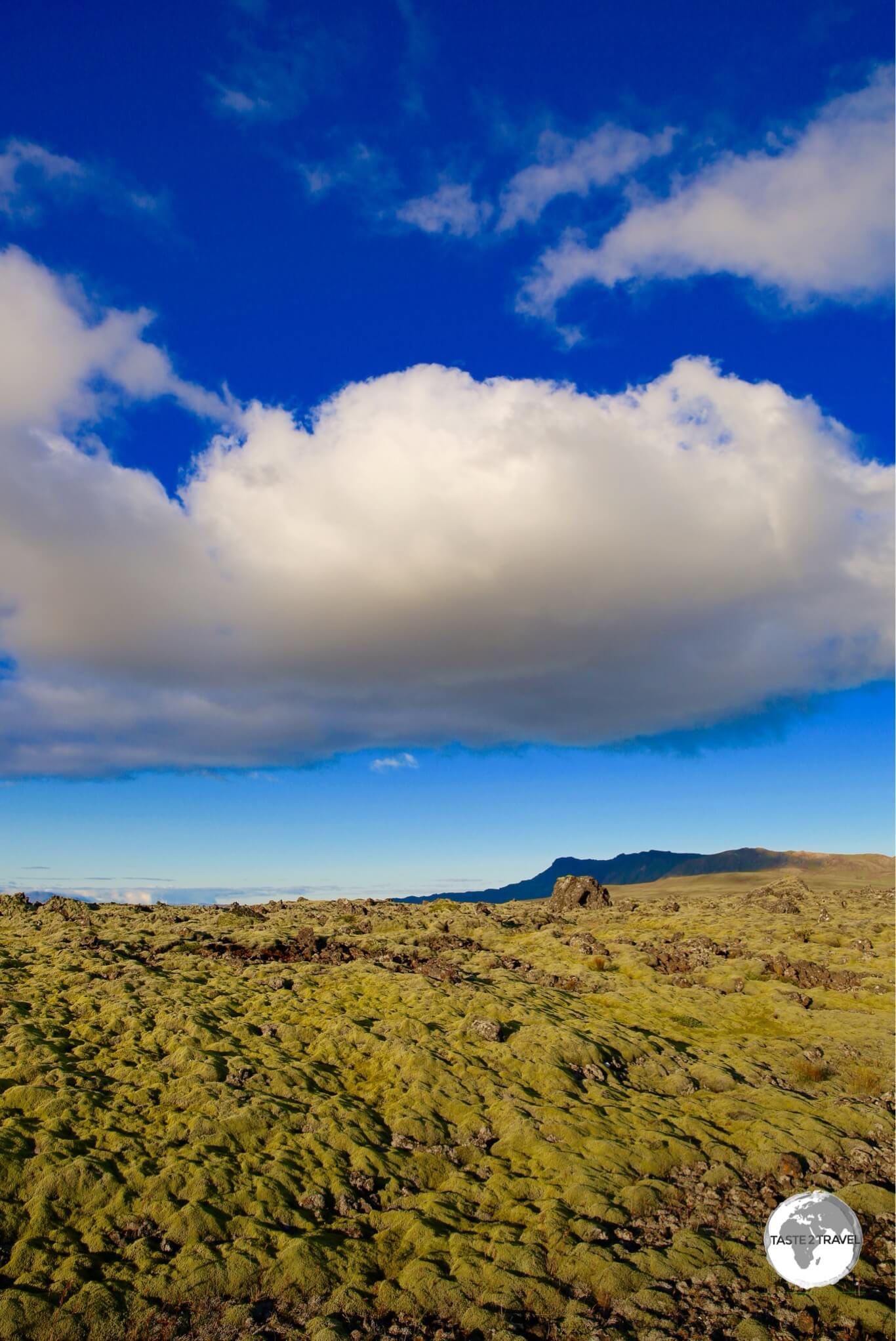
Lava fields outside of Reykjavik.
Located in the southwest of the island with a population of 216,000 – Reykjavík and the capital region are home to two-thirds of the entire population, with the city serving as a commercial, administrative, transportation and cultural hub. Fronted by the chilly, choppy waters of the North Atlantic and surrounded by towering, treeless mountains and barren lava fields, the city has a remote frontier feel to it.
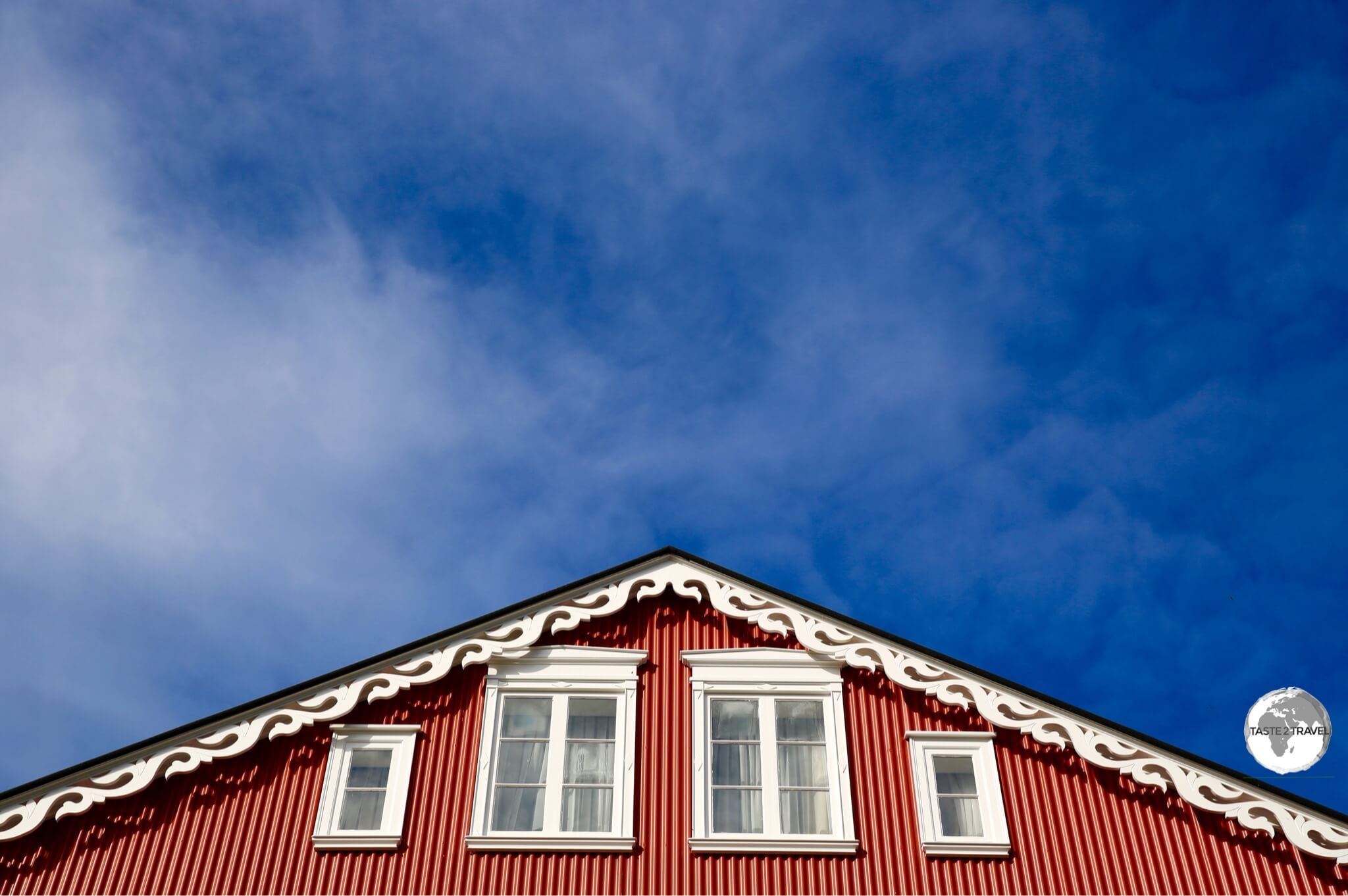
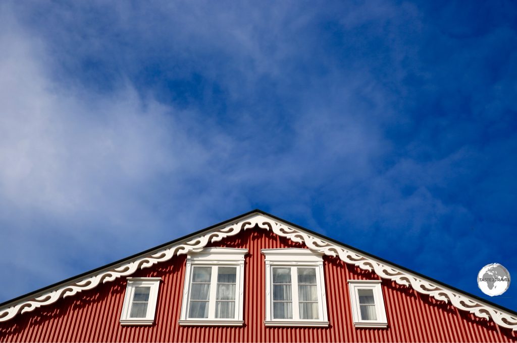
Traditional gable in downtown Reykjavik.
The downtown streets are lined with quirky, brightly coloured corrugated aluminium buildings, with the city having an unhurried, relaxed, sleepy atmosphere. There is no shortage of cafés, restaurants, bars, souvenir shops, museums and everything else you would expect to find in a capital city.
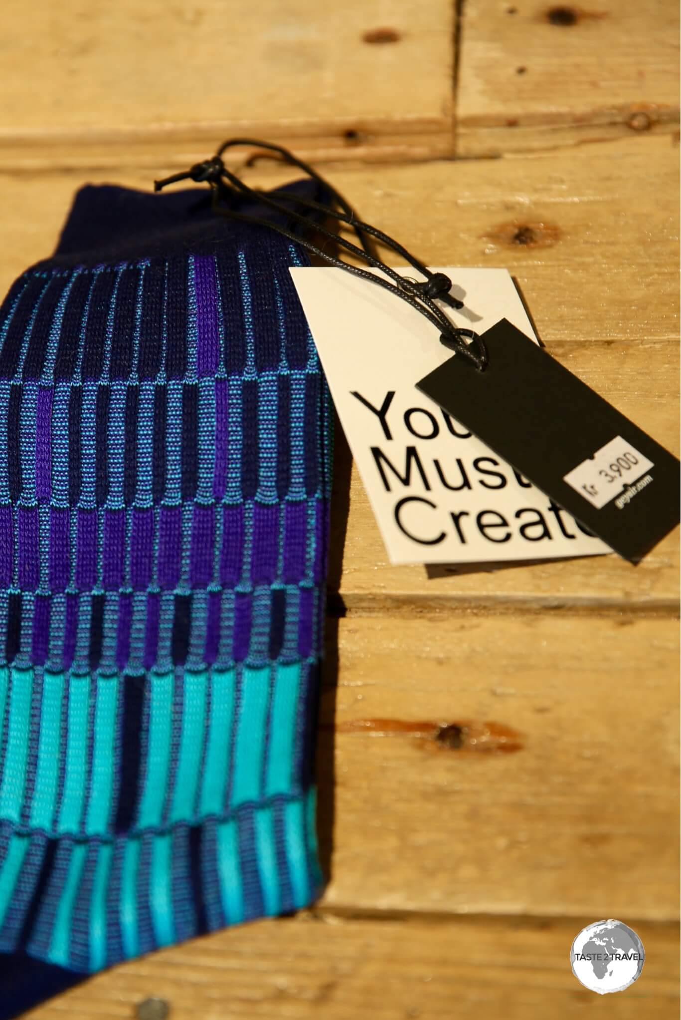
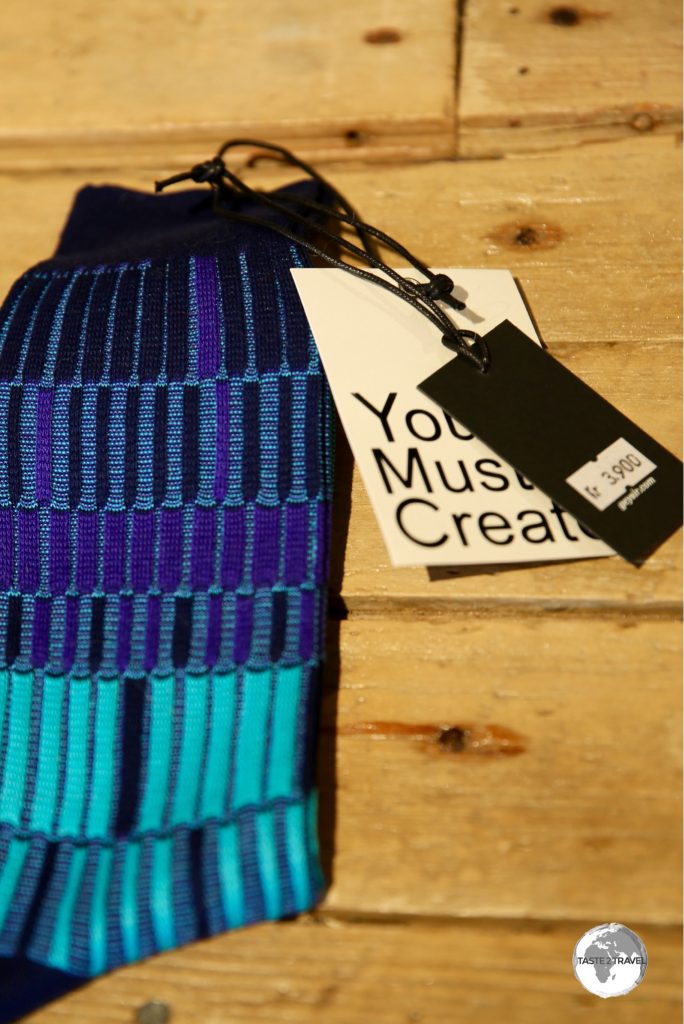
‘Made in Iceland’ socks on sale for the bargain price of US$39.
Shopping in Iceland is not for the miserly, with most ‘Made in Iceland‘ products priced in the stratosphere – such as these fine woollen socks which were on sale for US$39.
Reykjavik Sights
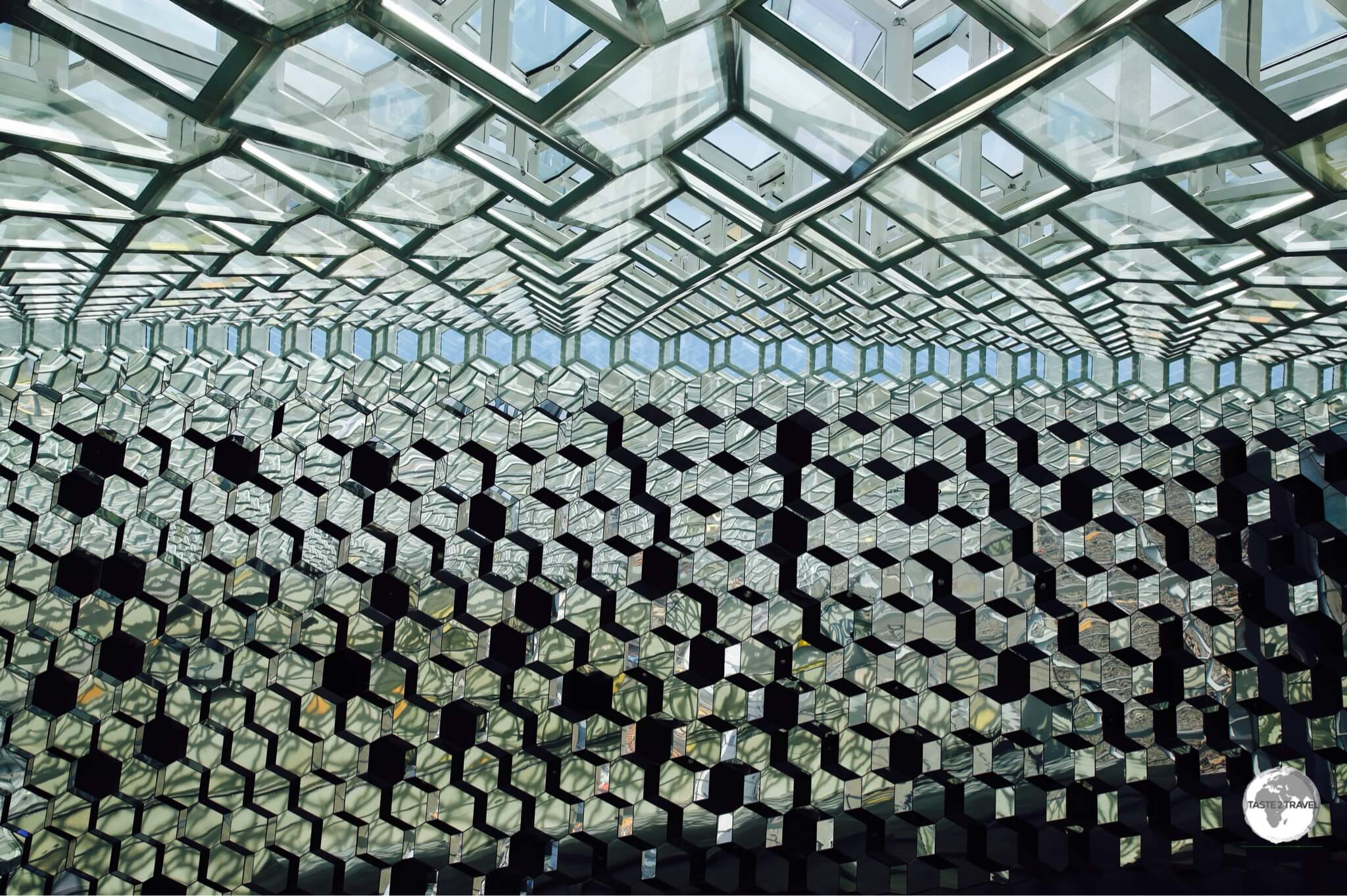
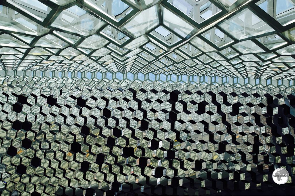
The dazzling glass interior of the Harpa Concert hall, Reykjavik.
Located on the waterfront, it’s hard to miss the glass edifice of the Harpa Concert Hall. The award-winning architectural design features a distinctive coloured-glass façade said to be inspired by the basalt landscape of Iceland. The interior walls and ceiling are made of glass panels which make for interesting photography.
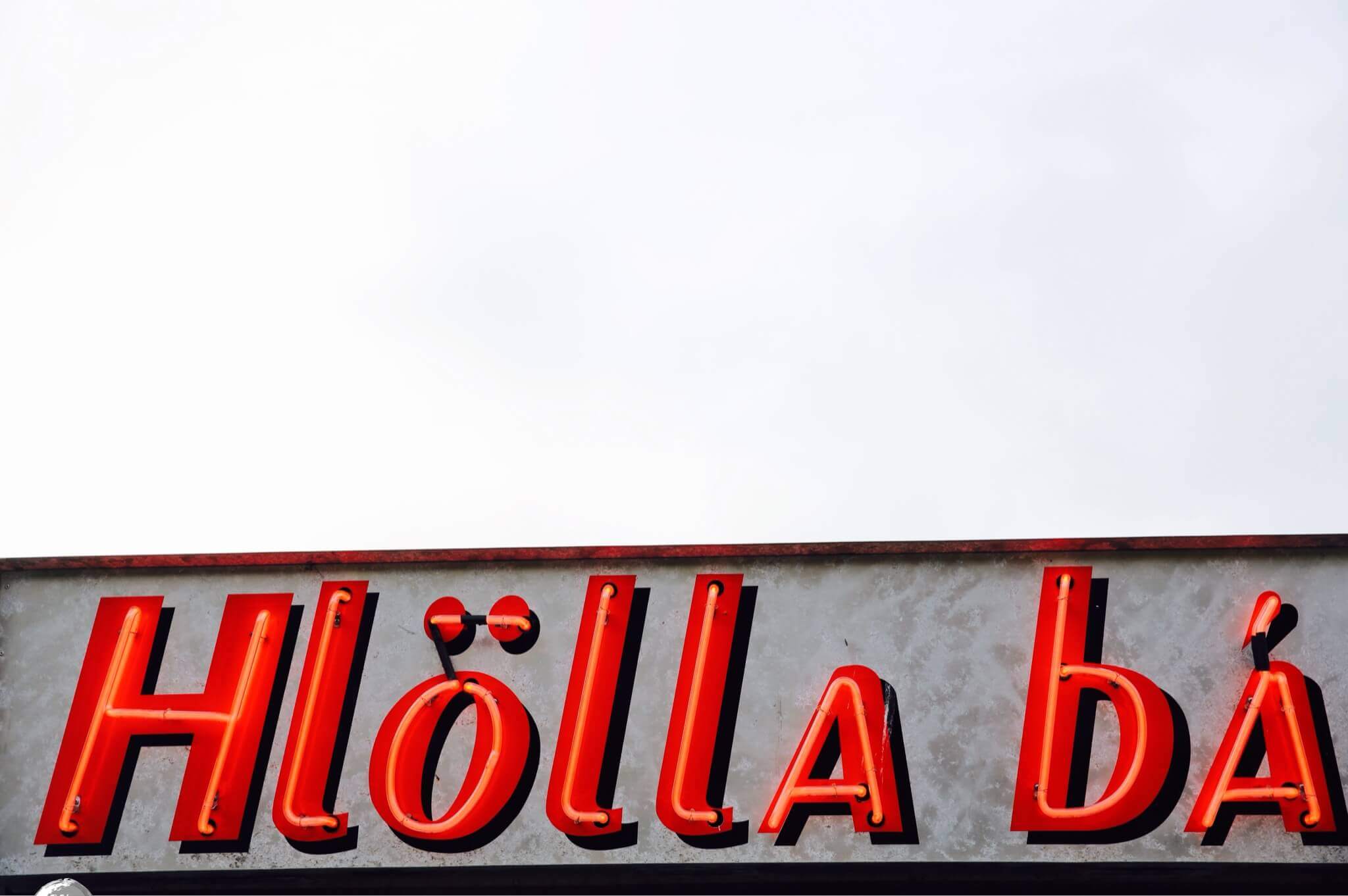
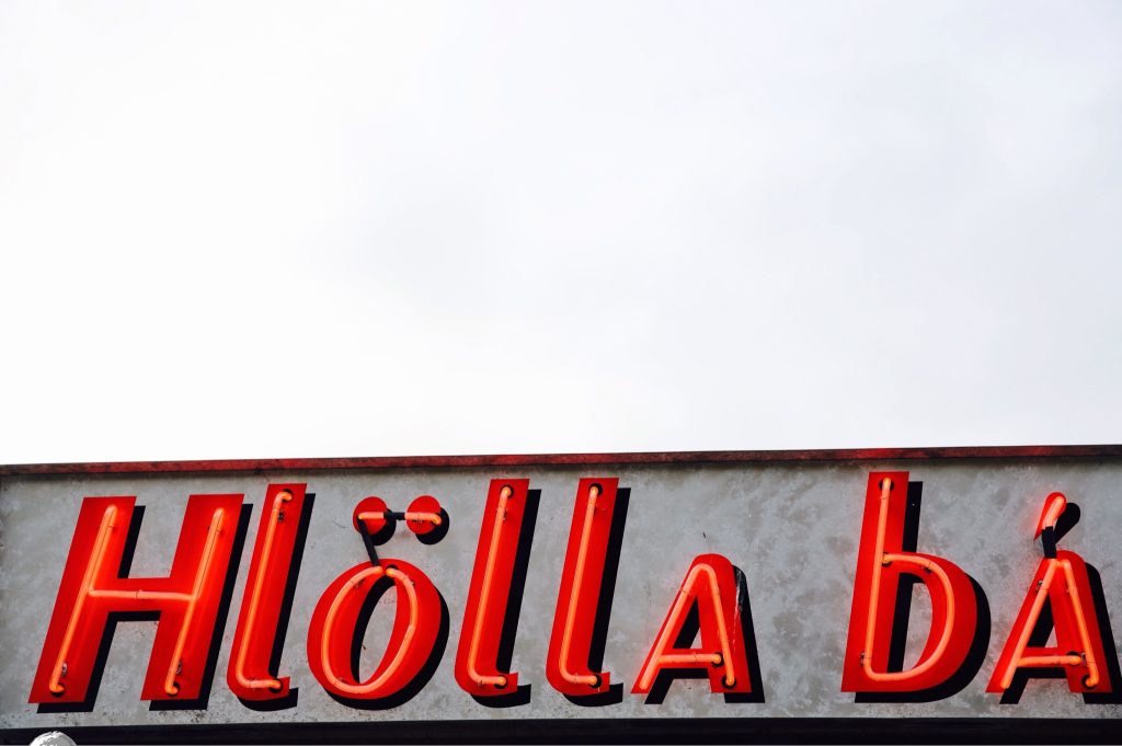
Neon signage against a grey sky in downtown Reykjavik.
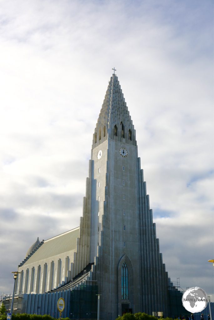
Located on a hill at the other end of town, Hallgrímskirkja is a Lutheran church which is one of the city’s best-known landmarks.
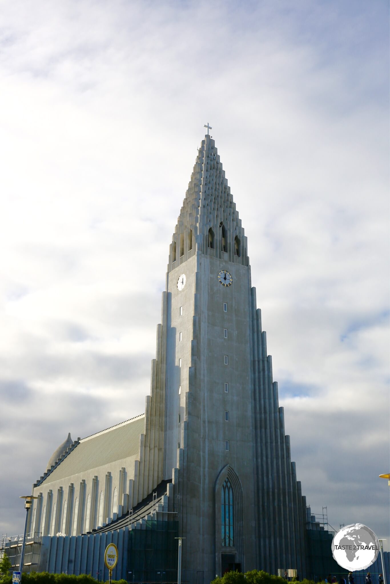
The towering Hallgrímskirkja, an iconic church which is the main landmark in the Reykjavik.
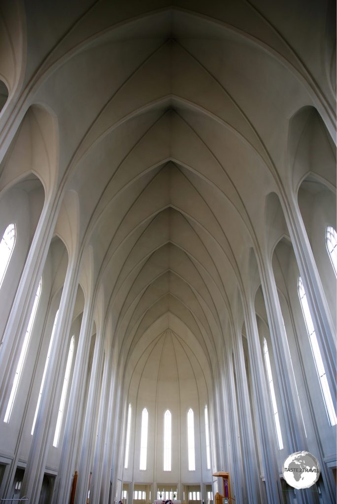
Designed in 1937, the church is said to resemble the towering Icelandic landscape with it’s vertical mountains and glaciers. The tower is open for visits which provides the best view of the city.
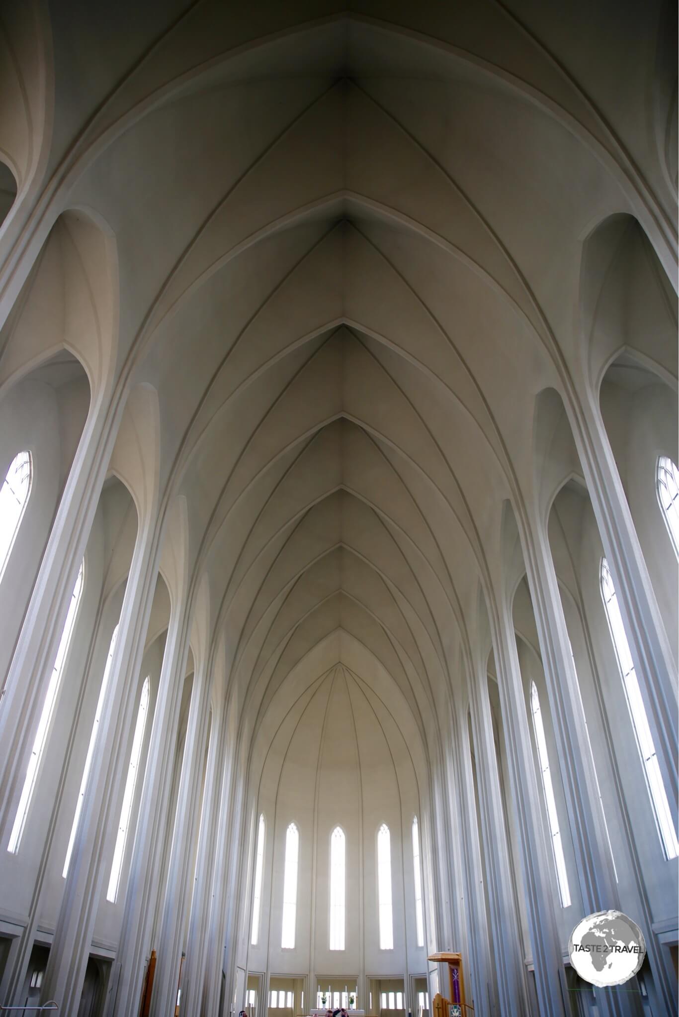
A view of the interior of Hallgrímskirkja.
Near Reykjavik
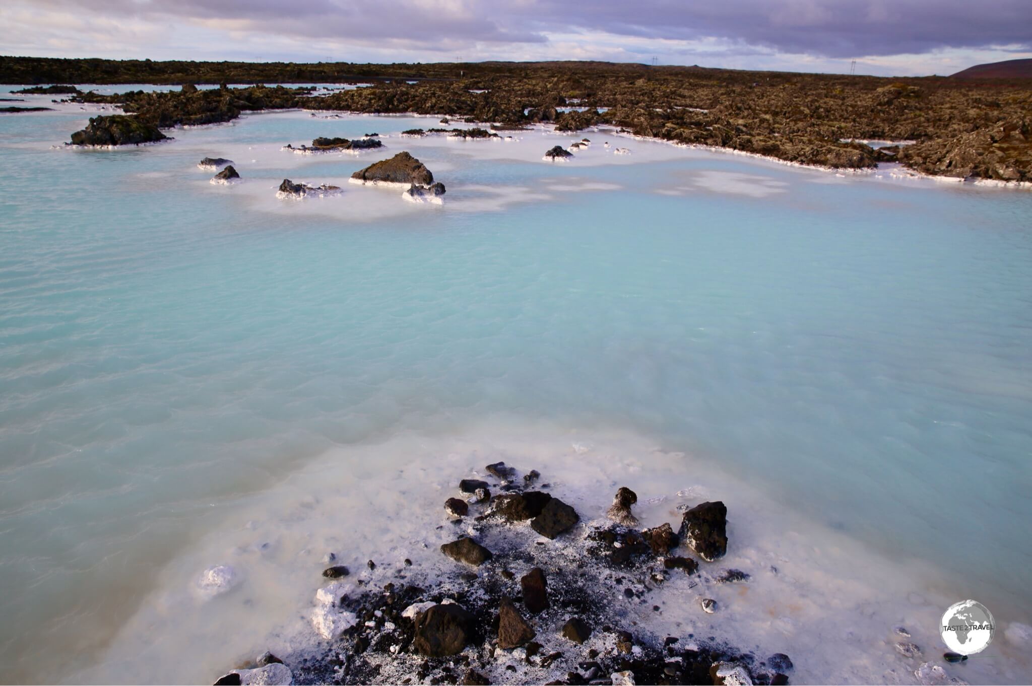
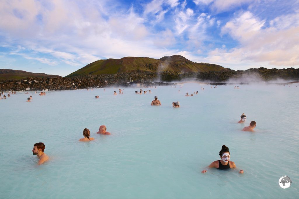
The milky-coloured water of Blue Lagoon.
Set in the middle of a barren lava field, Iceland’s #1 tourist attraction is the ever popular Blue Lagoon. The lagoon is located in Grindavík, 45 minutes south of Reykjavik and 20 minutes from Keflavik airport. It’s best to visit the lagoon on your way to the airport – there’s no better way to relax before a flight than by spending a few hours in a giant warm, mineral bath.
The lagoon water is geothermal seawater which originates at a depth of 2,000m beneath the earth, travelling up to the surface through porous lava where it is used to run turbines that generate electricity at a neighbouring power station (all power in Iceland is derived from renewable sources). The run-off water from the power station is then fed into the lagoon for the tourist hoards to enjoy.
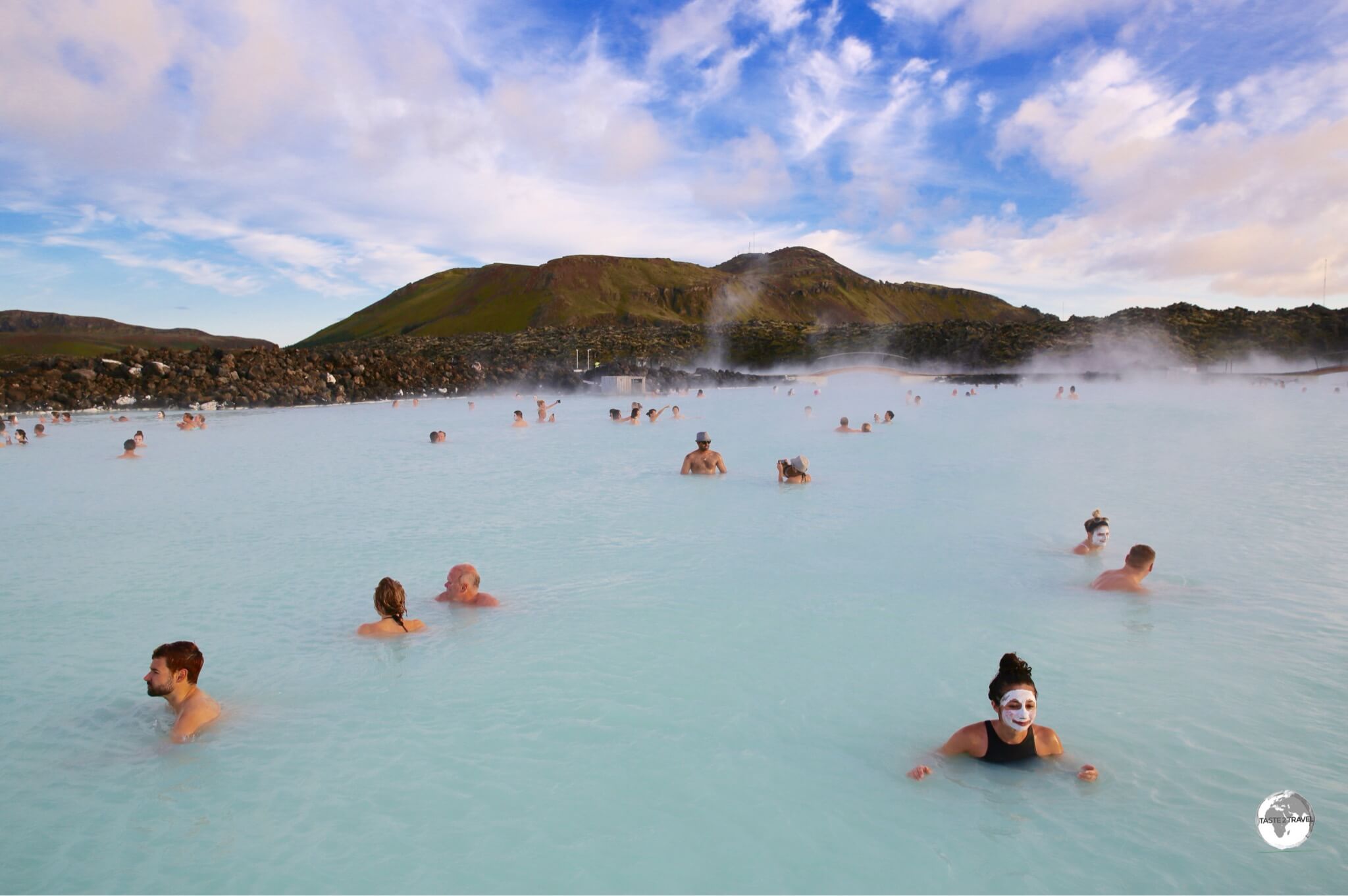
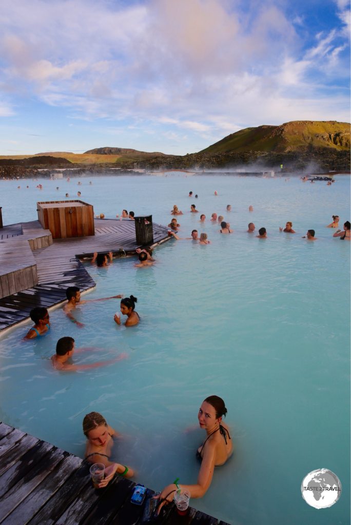
Bathers enjoying the warm, soothing waters of the Blue Lagoon.
More milky-coloured than blue, the water gets its colour from silicate minerals which, along with other minerals and algae, make the water ideal for both recreational and medicinal purposes. With the water temperature hovering between a comfortable 37 and 39°C, the lagoon feels like one big bath and is especially nice on a cold Icelandic day.
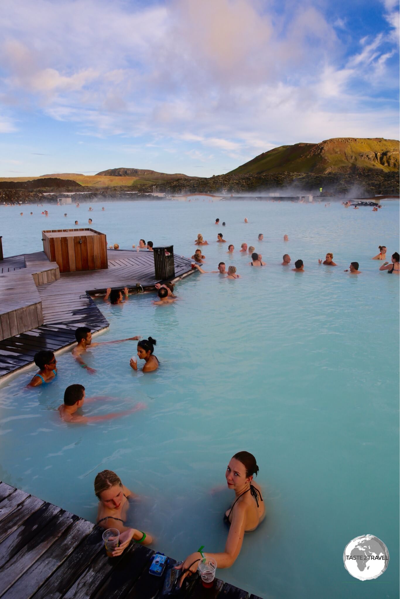
The very spacious and relaxing Blue Lagoon.
Due to its immense popularity, it is essential that you pre-book your ticket well in advance, which you can do on the Blue Lagoon website . Ticket prices are not cheap, ranging from a Standard ticket (US$61 – excluding tax) to the Luxury package (US$520 for two – excluding tax). I chose the standard ticket which I would recommend, this includes a silica mud mask. You can reduce costs by bringing your own towel and drinking the tap water, which is actually glacier water. There’s a swim-up bar where you can refresh yourself with an ice cold beer, wine or cocktail.
Considering the effort required in getting there and the cost of the ticket you should allow half a day to make the most of your visit. I stayed for 4 hours which was an ideal amount of time. There are restaurants and luggage storage facilities for those heading to the airport.
Central Region
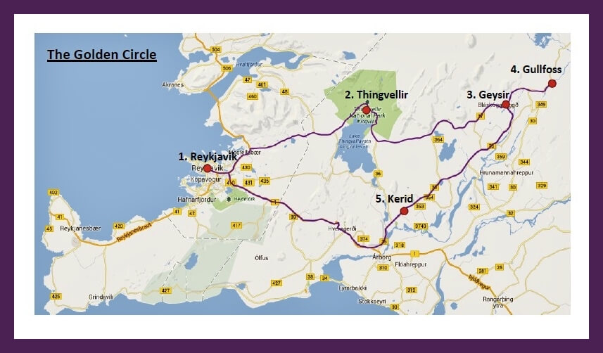
Golden Circle Route Map
Most of the sites of the central region are accessible from the circuitous tourist route known as the Golden Circle. The circuit can be completed on a day trip from Reykjavik and is the most popular tourist route in Iceland with the remote road often congested with tour buses and hire cars. The main attractions are the Thingvellir National Park, Geysir, Gullfoss and Kerid Crater.
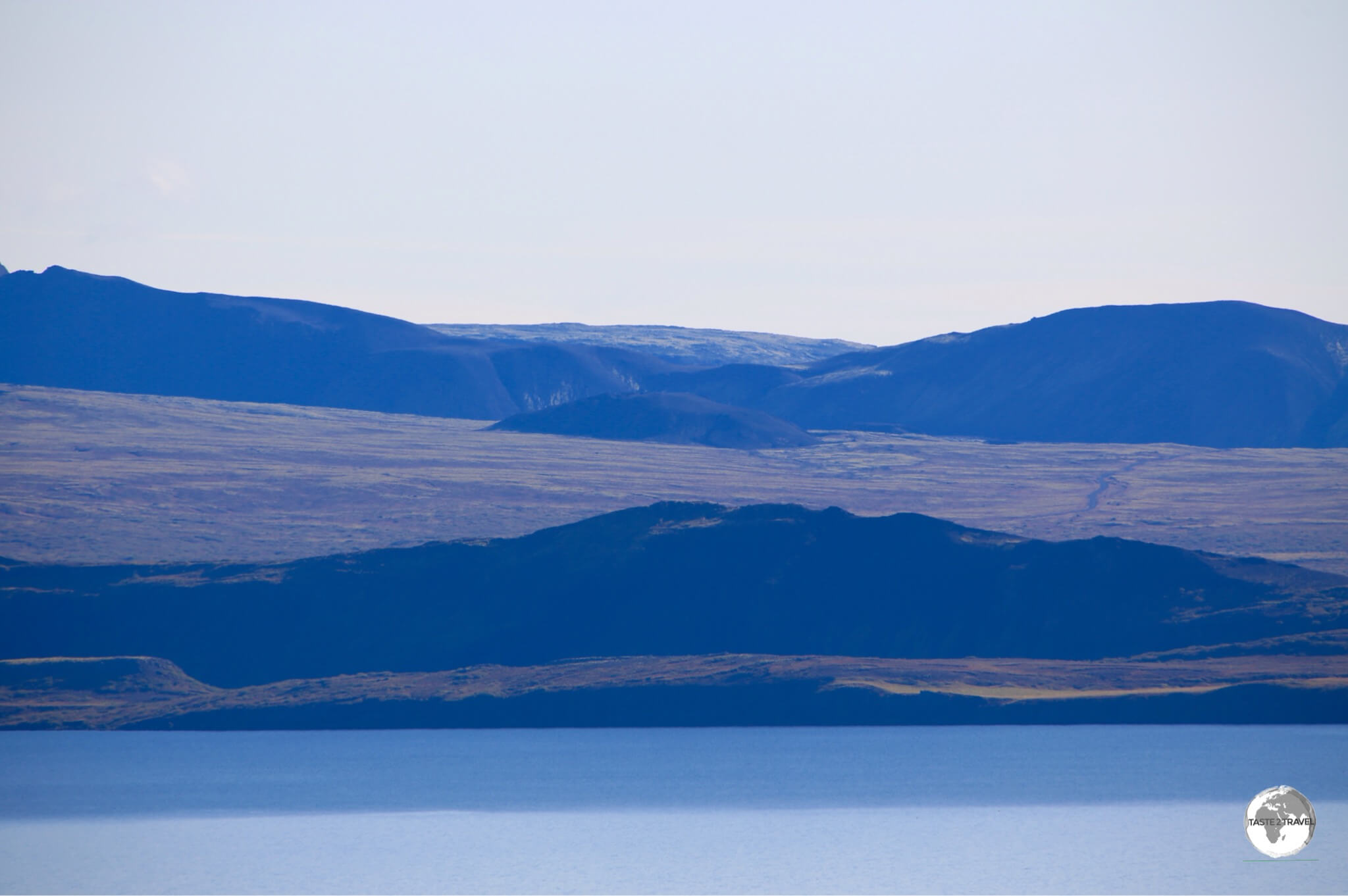
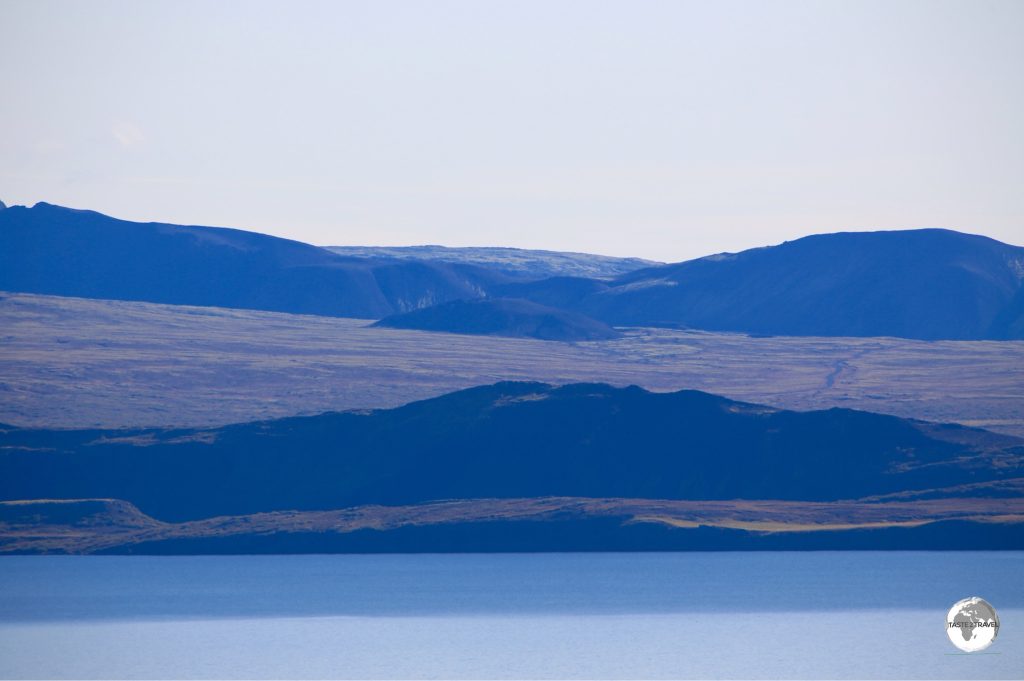
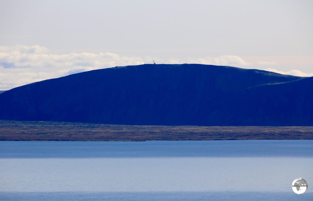
Thingvallavatn Lake, the largest lake in Iceland is part of Thingvellir National Park.
Þingvellir (Thingvellir) National Park
Thingvellir National Park, which is the first stop on the Golden Circle trip, is a UNESCO World Heritage Site, a Game of Thrones film location and the place where the Althing (the world’s oldest parliament) was established more than 1,000 years ago. The mid-Atlantic Ridge cuts through the park, separating the North American and Eurasian plates, creating a rift valley (the plates are moving apart). The centre piece of the park is Iceland’s largest lake – Thingvallavatn.
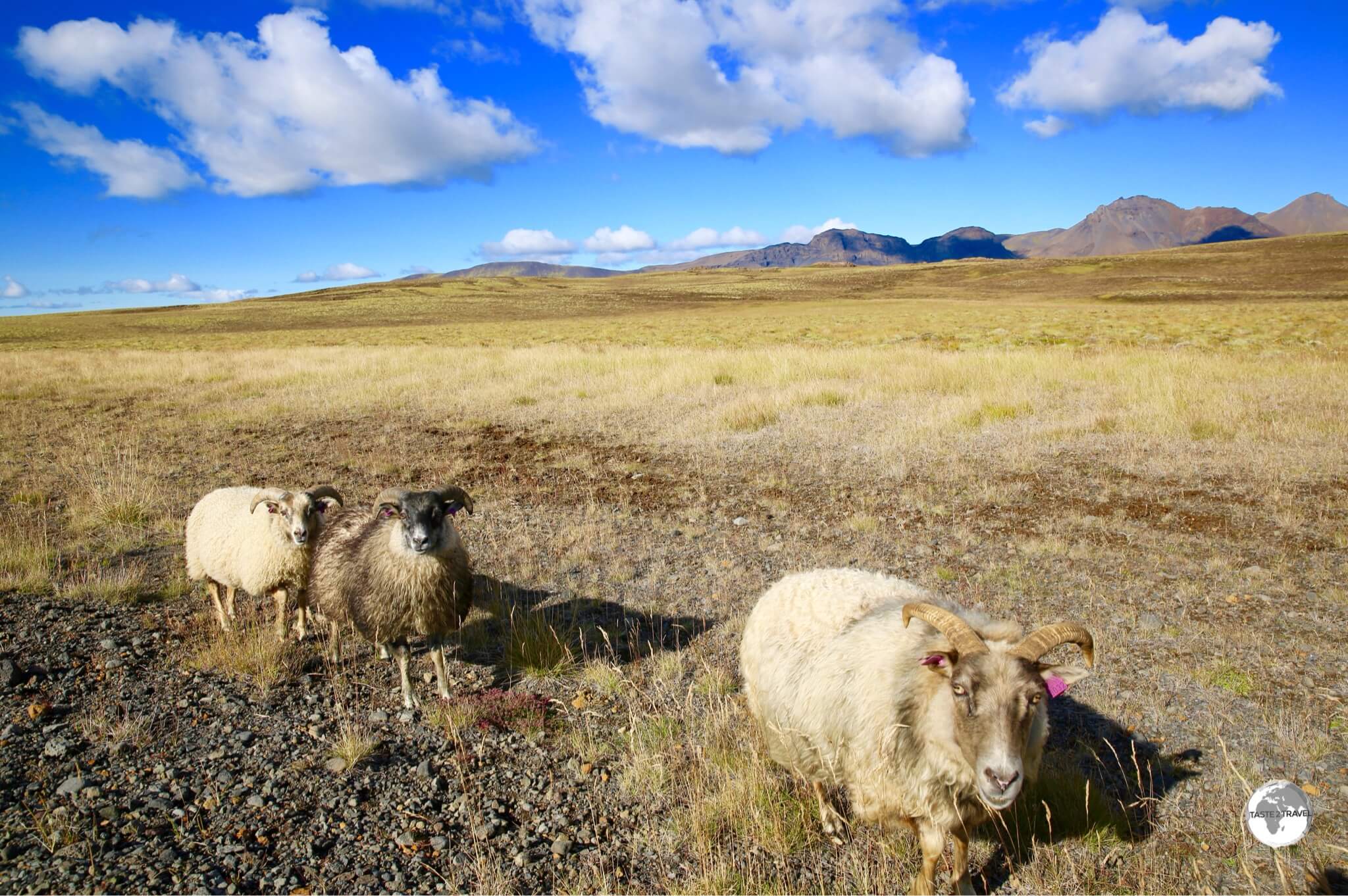
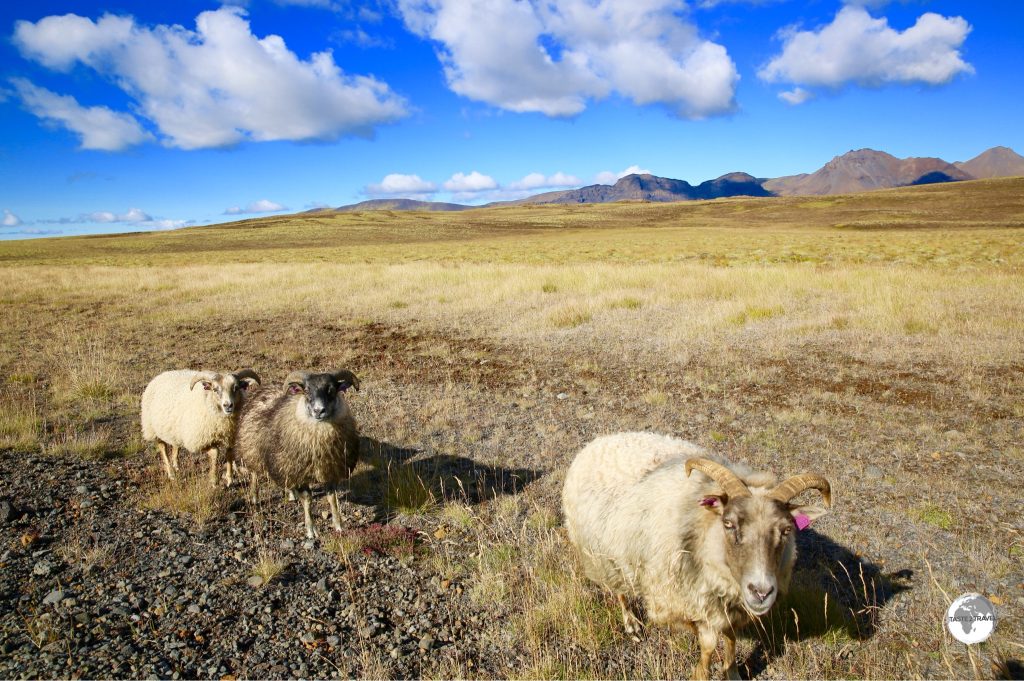
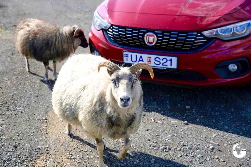
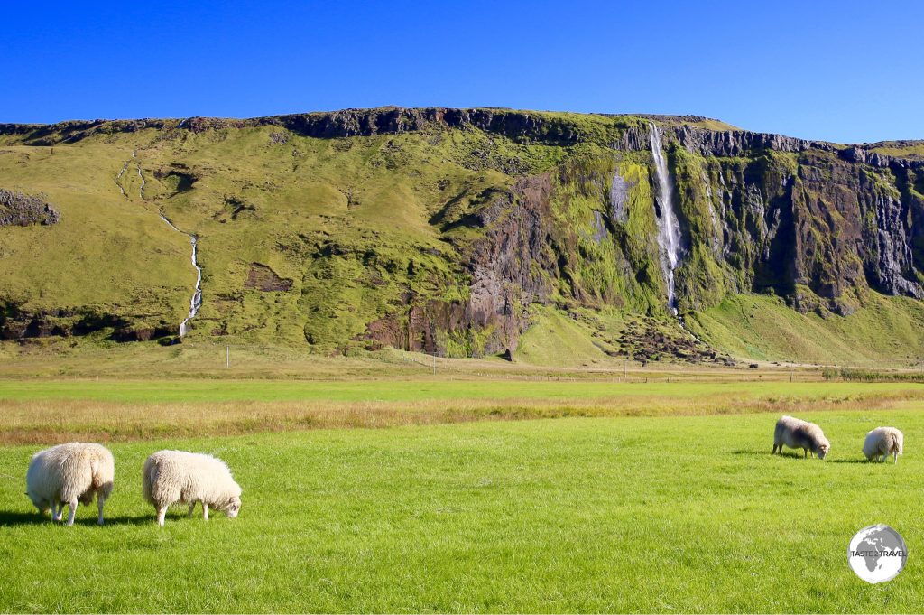
Cute to look at but often a road hazard, Icelandic sheep roam freely throughout Iceland.
Öxarárfoss
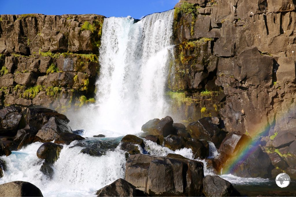
This 20 m high waterfall is said to be man-made, having been formed centuries ago when a river was diverted to provide drinking water. The falls cascade down the wall of a rocky fault line and are accessible via a boardwalk. A hiking trail allows you to walk the length of the canyon created by the fault.
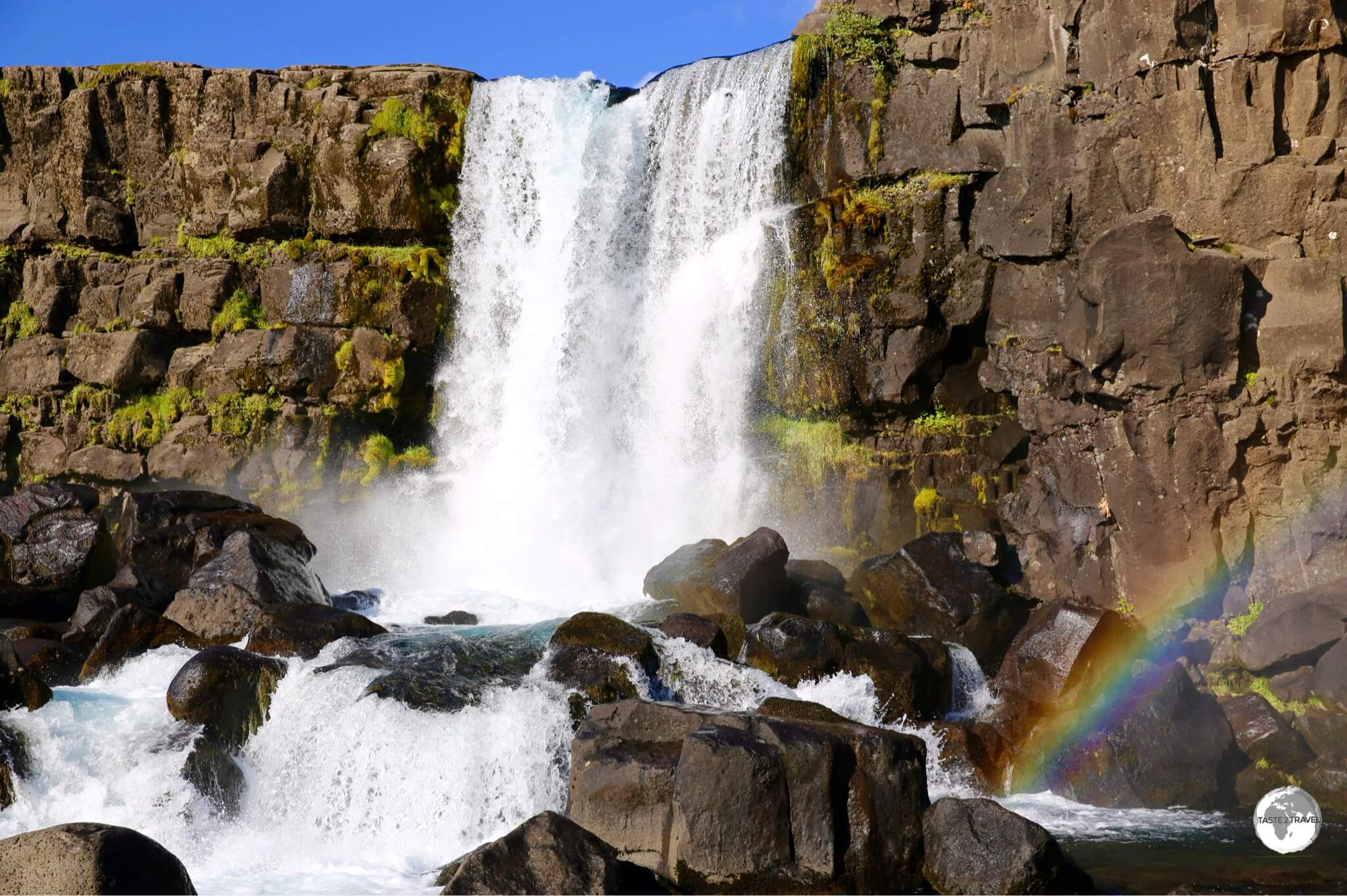
The Öxarárfoss waterfall.
Geysir
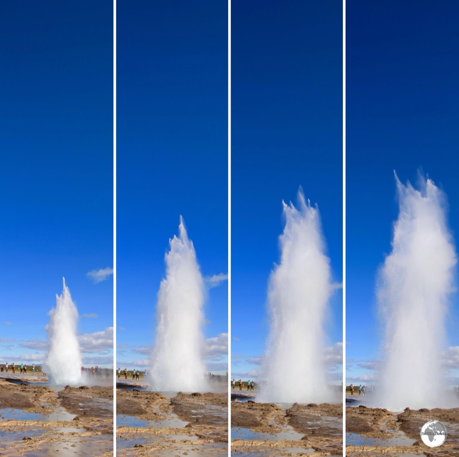
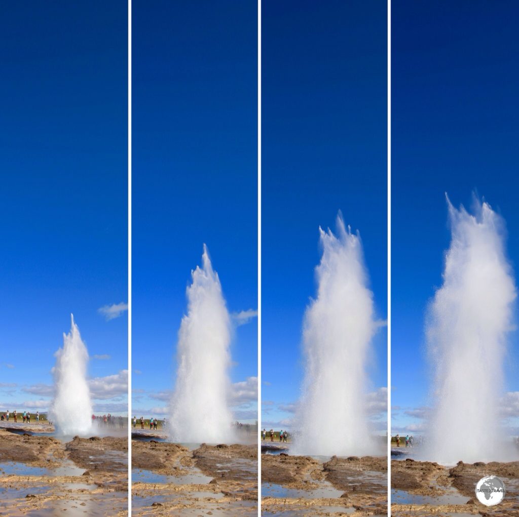
Composite image of Strokkur Geysir erupting.
About an hour up the road from Thingvellir National Park is Geysir, home to two gushing geysers – Strokkur and Geysir. The main geyser – Geysir – rarely erupts while the smaller – Strokkur – erupts every 5-6 minutes, sometimes reaching 30 metres! The English word – geyser – originates from Geysir, which comes from the Icelandic verb geyser, “to gush”.
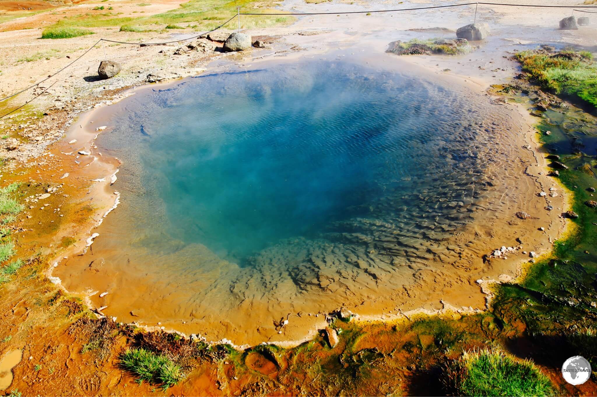
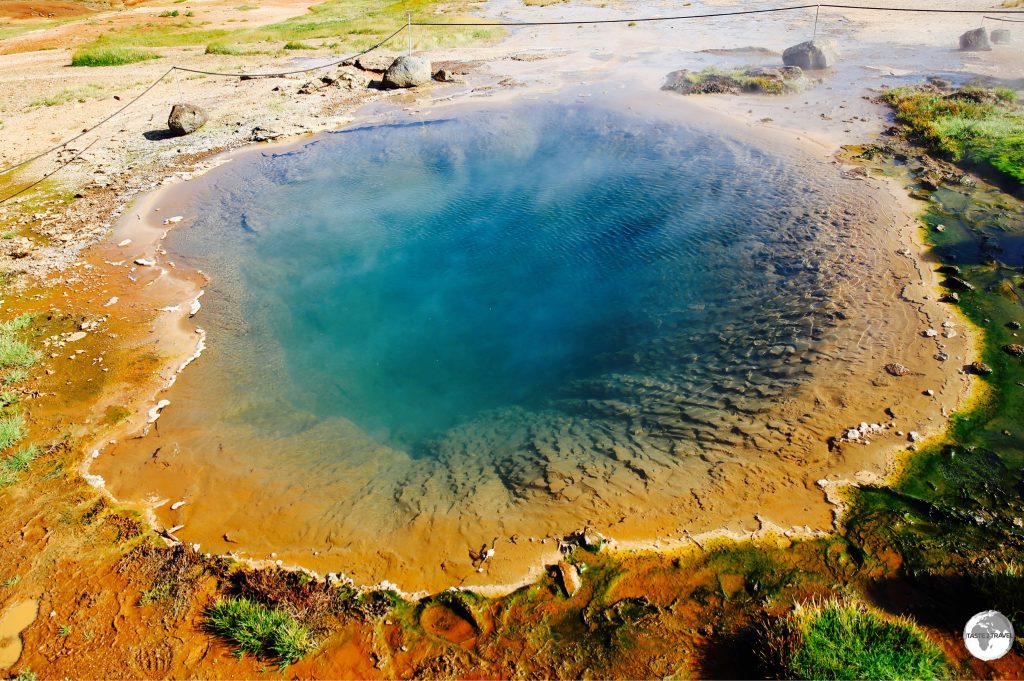
Hot sulphur spring at Geysir.
Gullfoss
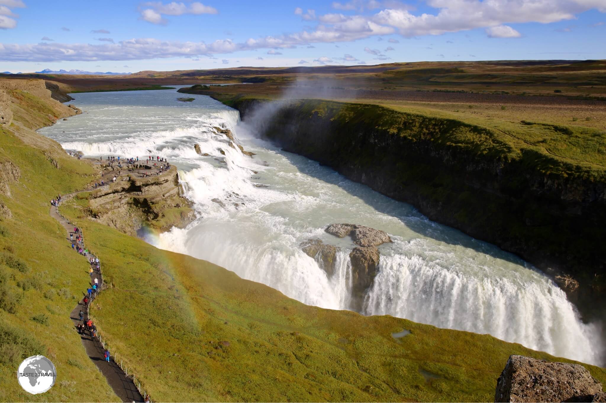
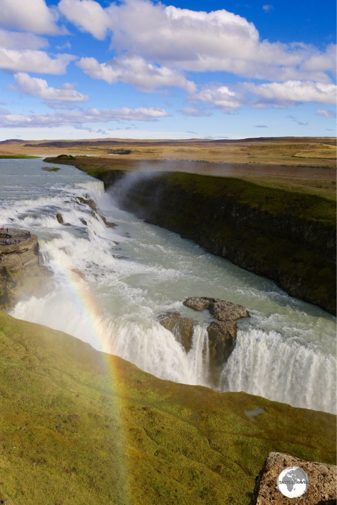
The spectacular Gullfoss waterfall.
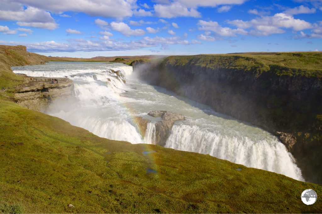
A 10 minute drive up the road from Geysir brings you to the spectacular Gullfoss waterfall, a massive, two-tiered waterfall where the Hvita river cascades down an 11 m drop then a 21 m drop emptying into a 2.5 km long crevasse before continuing its journey.
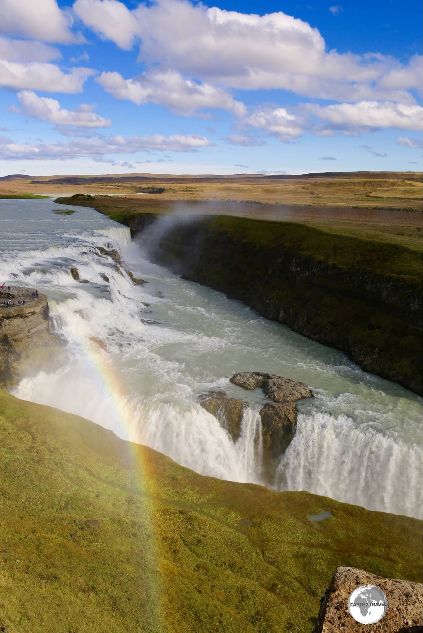
Always a rainbow at Gullfoss waterfall.
Photos of the falls are impressive but there’s nothing quite like standing on the viewing platform next to the pounding, crashing waters – its raw, powerful nature at its best.
Kerid Volcanic Crater
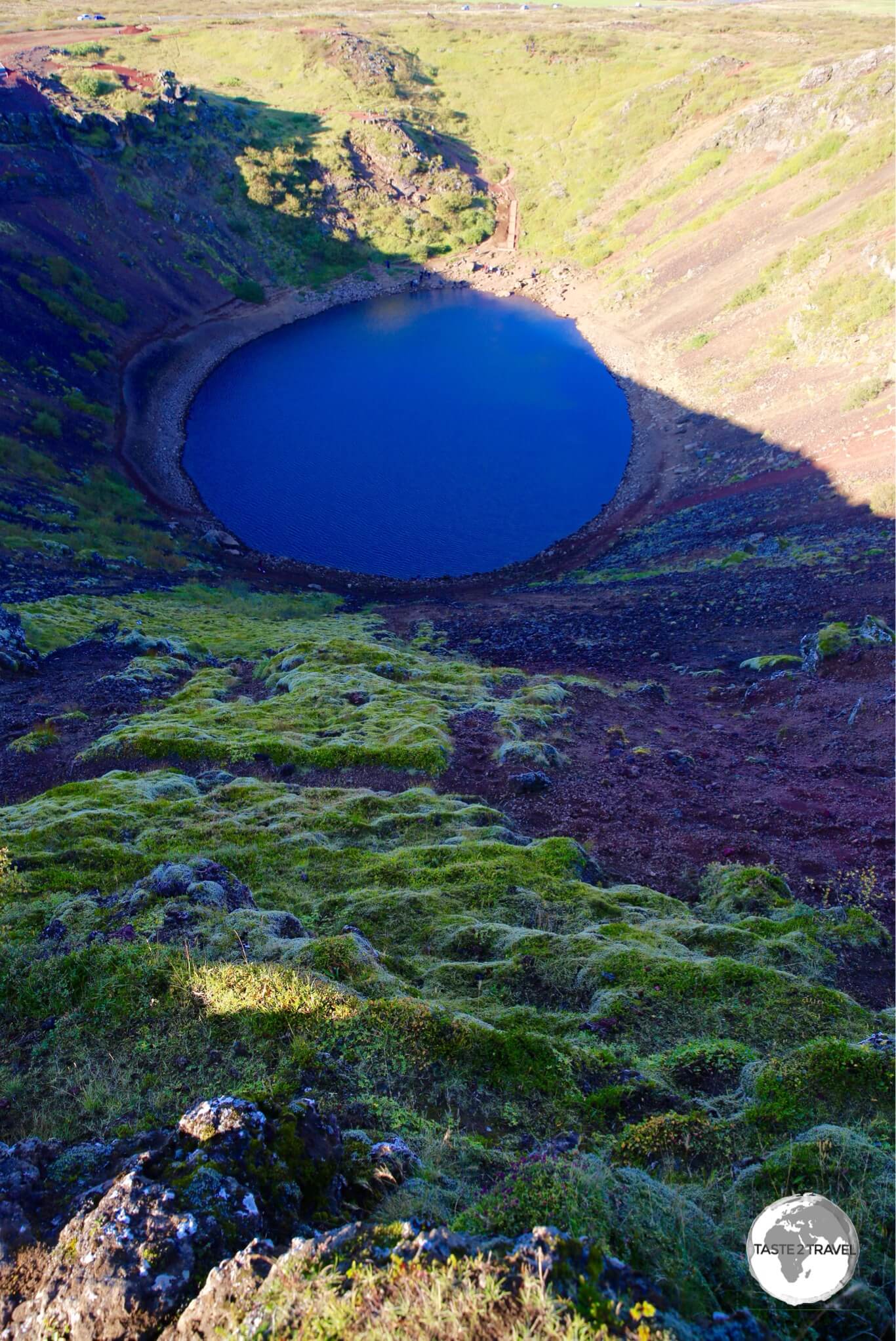
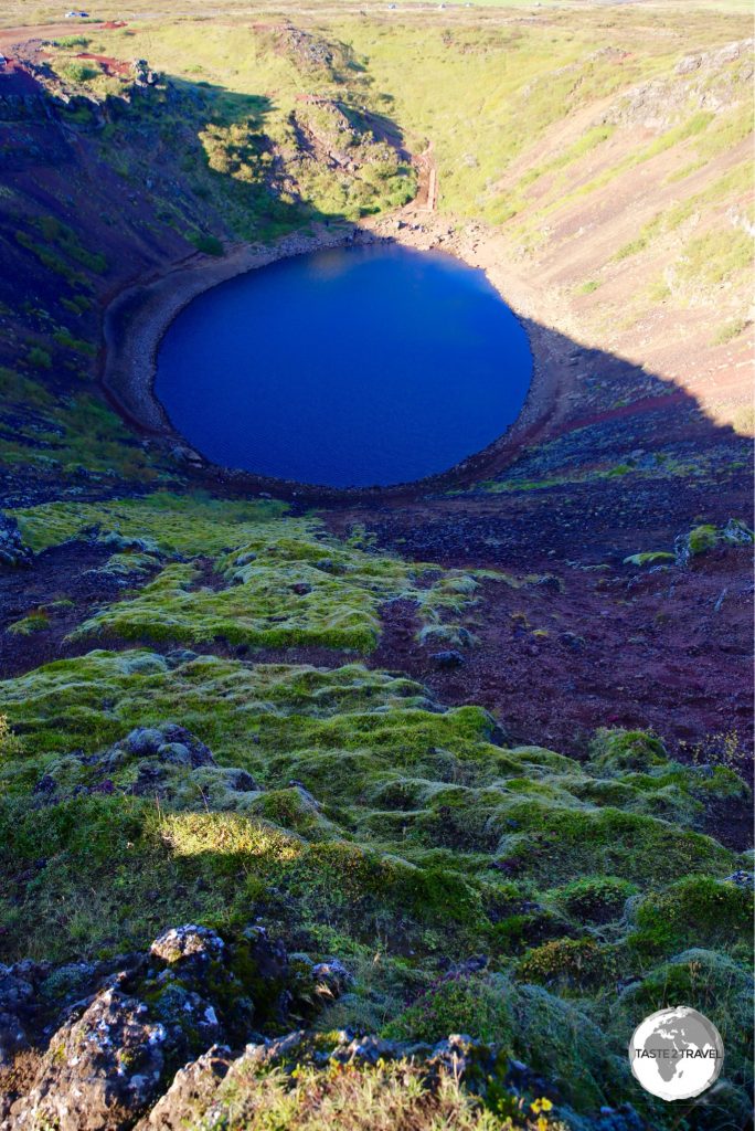
The Kerid Volcanic crater.
Kerid crater is a stunning site, a sapphire-blue lake nestled in the bottom of a volcanic crater, the slopes of which are covered in red volcanic rock. If you wish to get a good photo of the crater you should visit in the middle of the day. I visited late in the afternoon when most of the crater was in shadow.
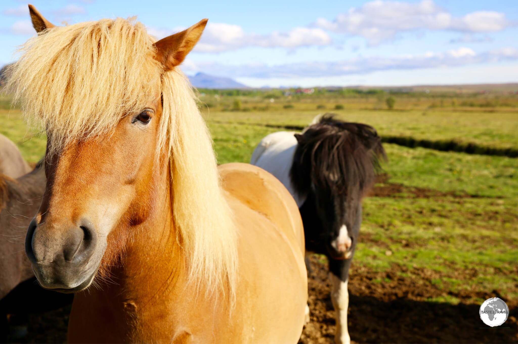
Friendly Icelandic horses on the Golden Circle.
South Coast
In a country full of spectacular sights it’s hard to nominate a favourite drive but the south coast was a highlight. I thought I could cover most sights on a day trip from Reykjavik but oh how wrong I was – at the end of my 1st day I was half way along my planned route, and needed to make a return trip to complete the journey. There are plenty of guest houses along the way (see ‘Accommodation‘ below) so there’s no need to backtrack to Reykjavik.
LAVA Centre
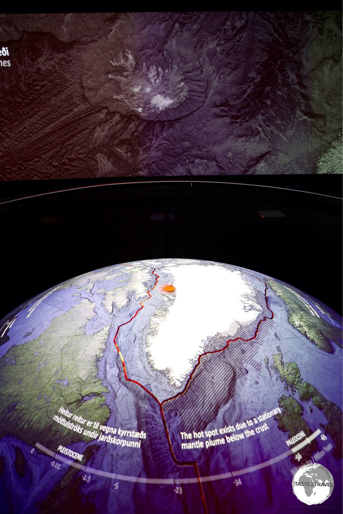
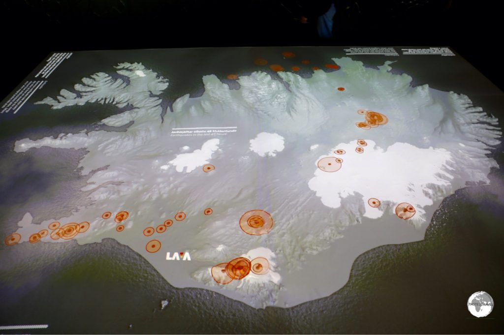
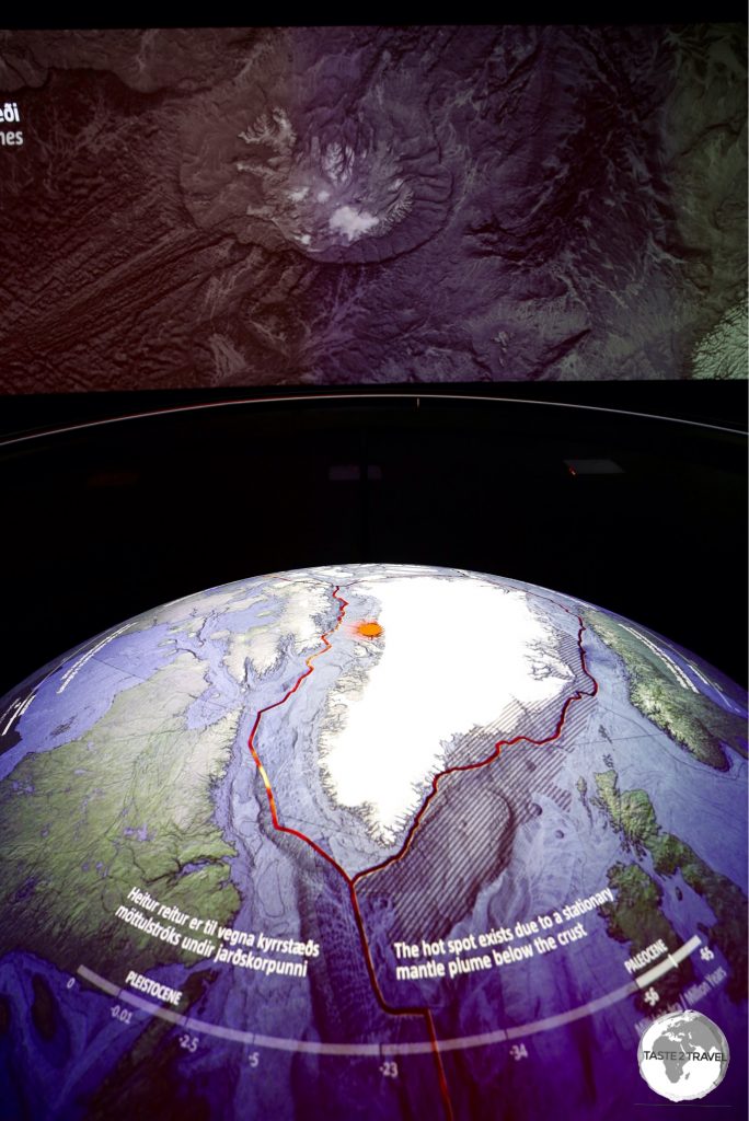
Interactive display at the LAVA centre.
A good starting point for any drive along the south coast is the LAVA Centre in the town of Hvolsvöllur. This elegant, contemporary, intelligently designed museum uses interactive displays to showcase Iceland’s volcanic heritage.
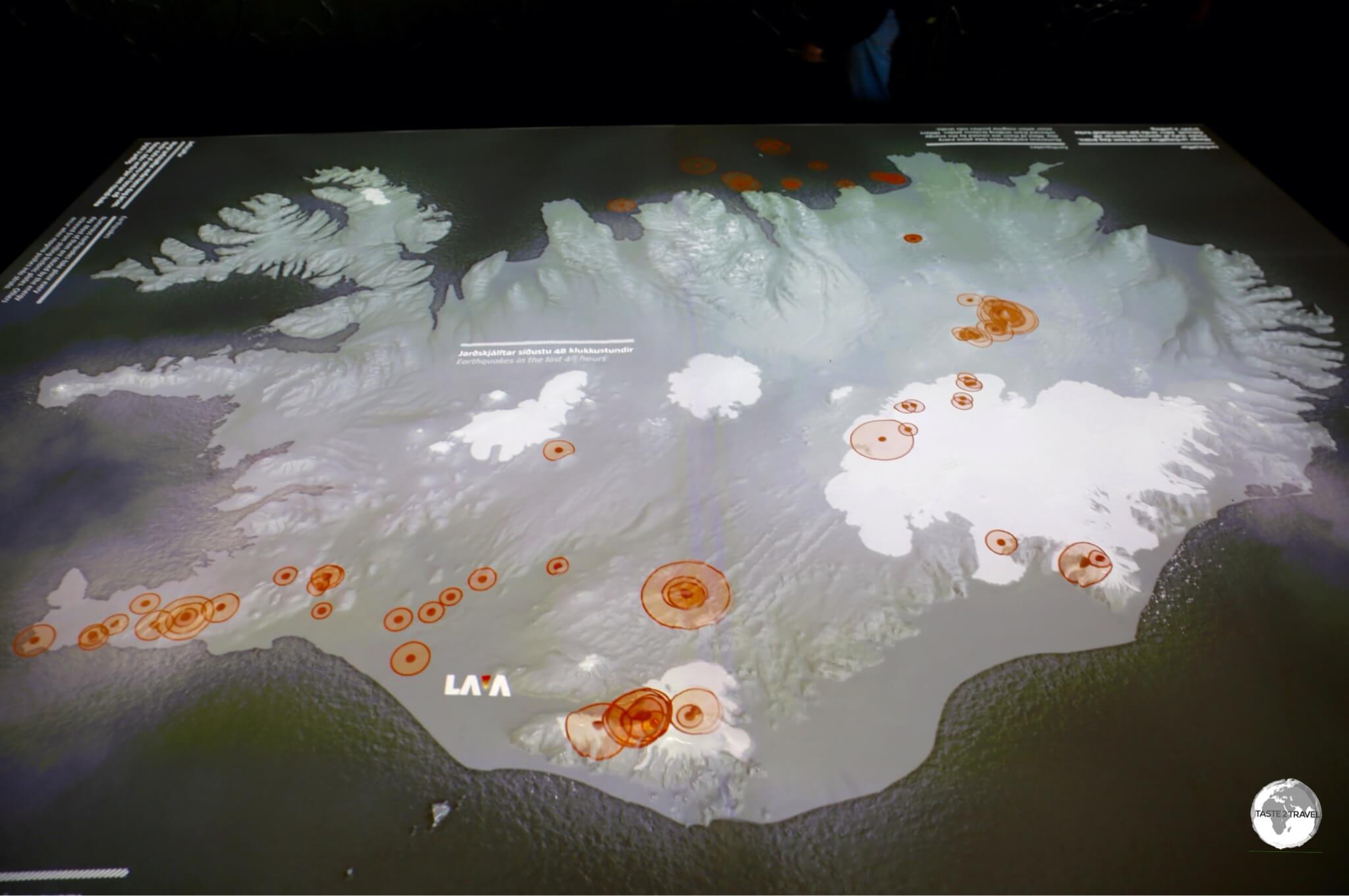
Orange circles on a map of Iceland at the Lava Centre indicate earthquake activity in the last 24 hours.
It’s here where you learn how the sights along the coast were formed, and it’s here you gain an appreciation of just how volatile and fluid the countryside around is, with up-to-the minute seismic & eruption readings.
Seljalandsfoss
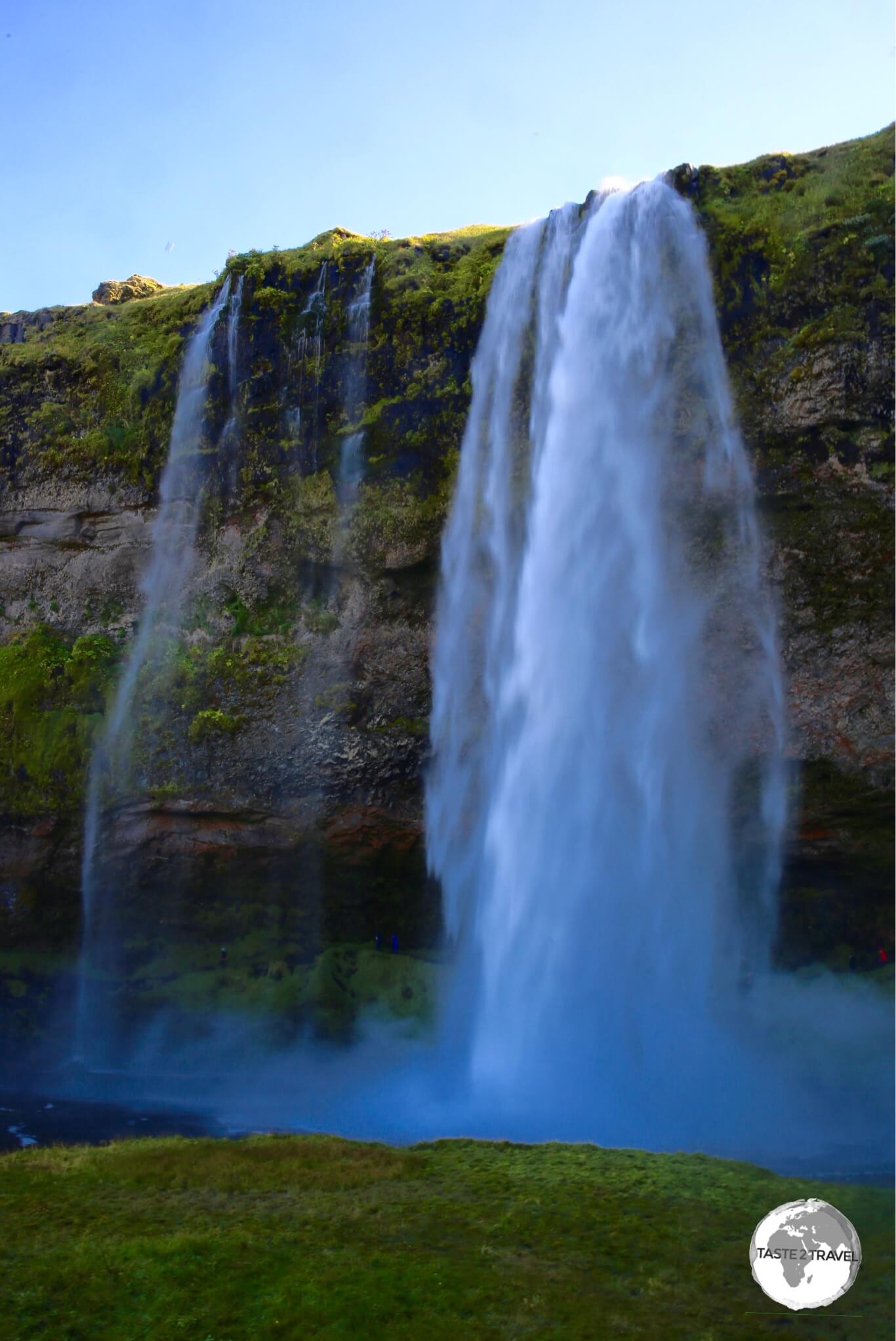
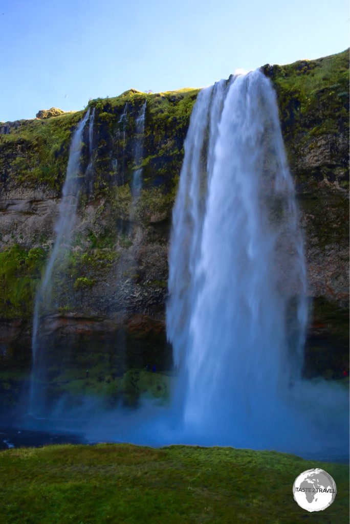
Seljalandsfoss waterfall.
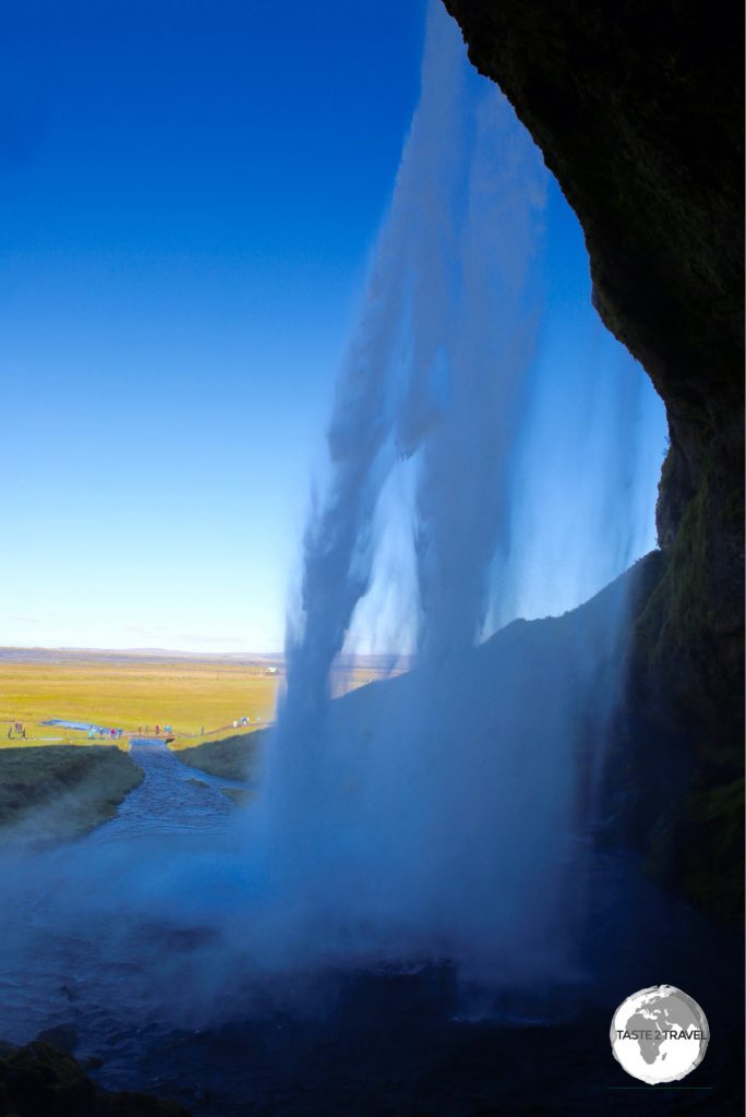
Shortly after the LAVA centre the beautiful Seljalandsfoss comes into view just off the ring road – marking the start of the geological attractions along the coast. This beautiful 63 m high waterfall is one of the highlights of the south coast with a walking trail which allows you to walk under a ledge, placing you behind the waterfall.
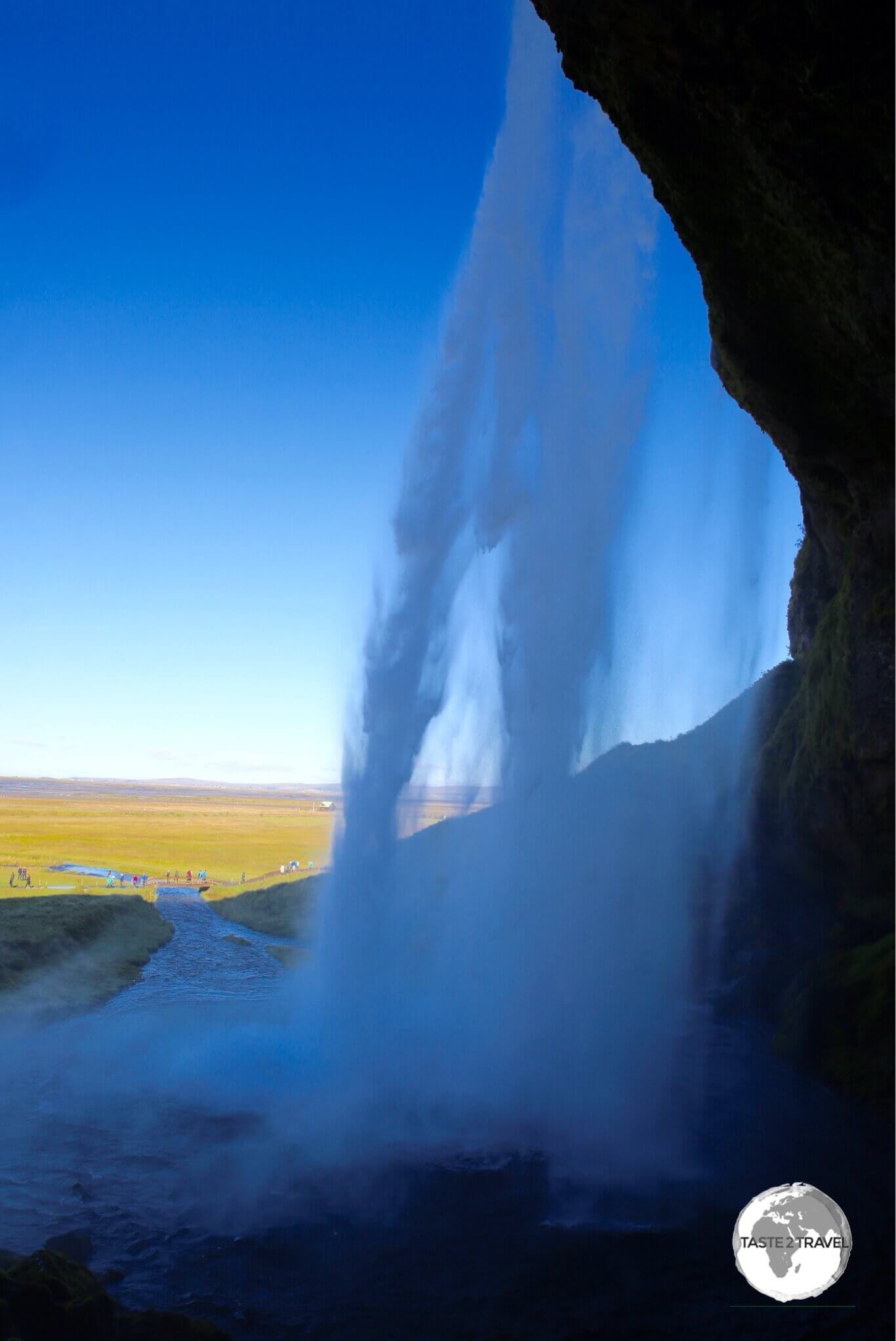
Behind Seljalandsfoss waterfall.
Skógafoss
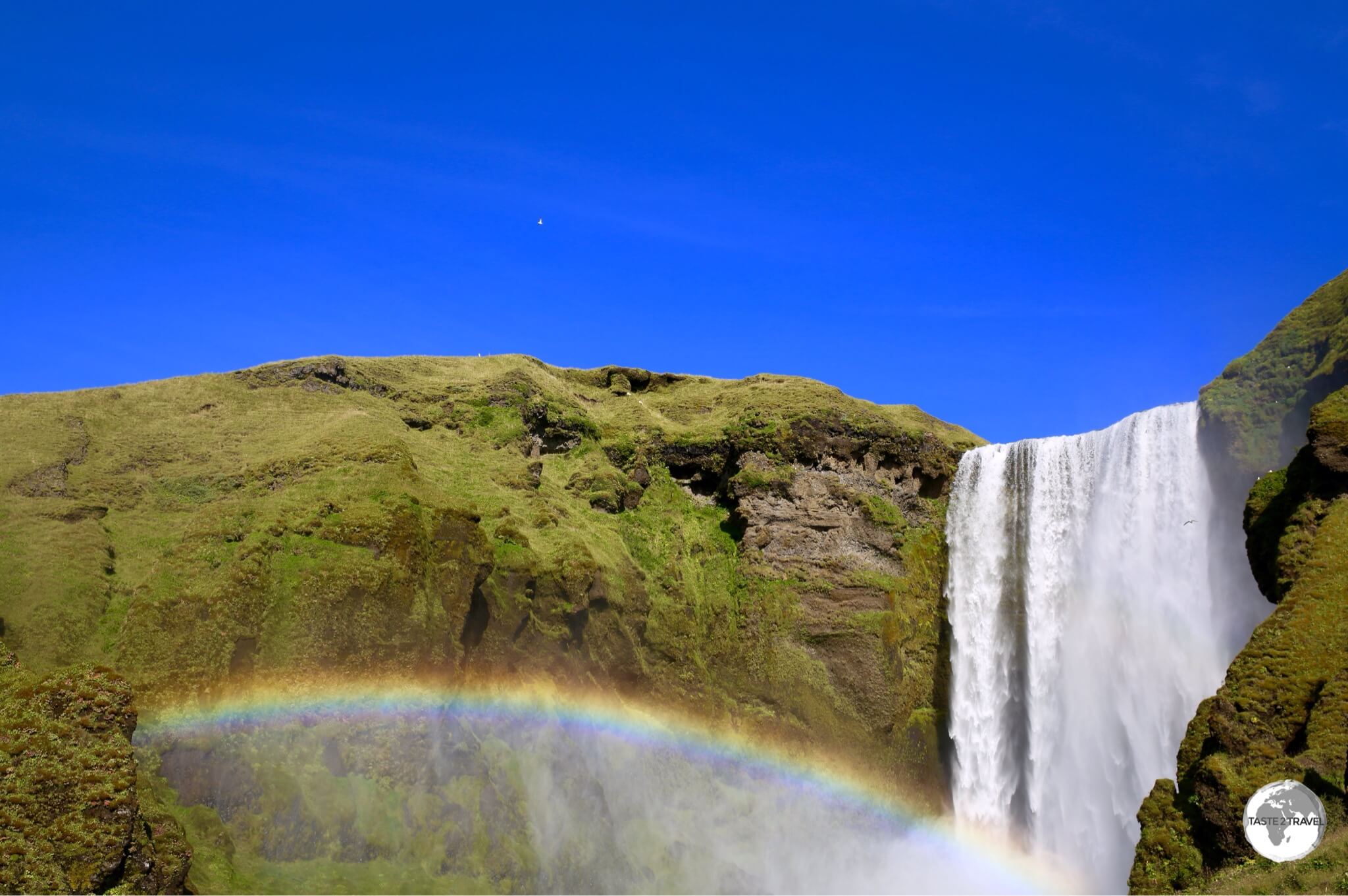
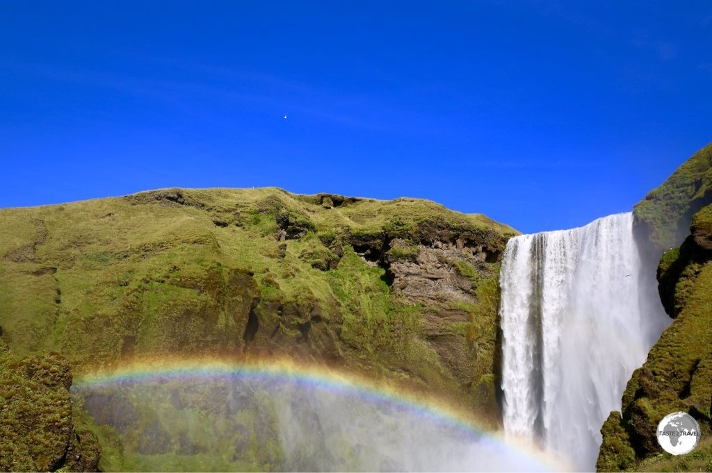
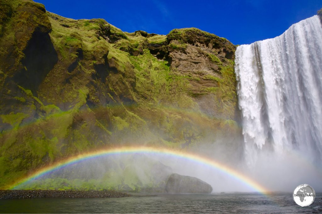
A rainbow is always guaranteed at Skógafoss waterfall.
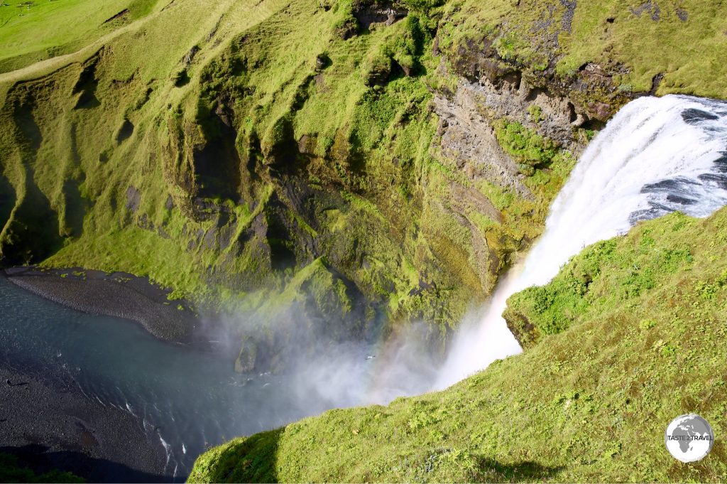
Just 20 minutes from Seljalandsfoss, you’ll find the spectacular Skógafoss, a dramatic 60 m drop waterfall which cascades over a cliff which was formerly part of the coastline. There’s something special about Skógafoss – it comes from the sheer majesty and power of the falls and the fact that they are so accessible – you can get right up close which is an overwhelming experience.
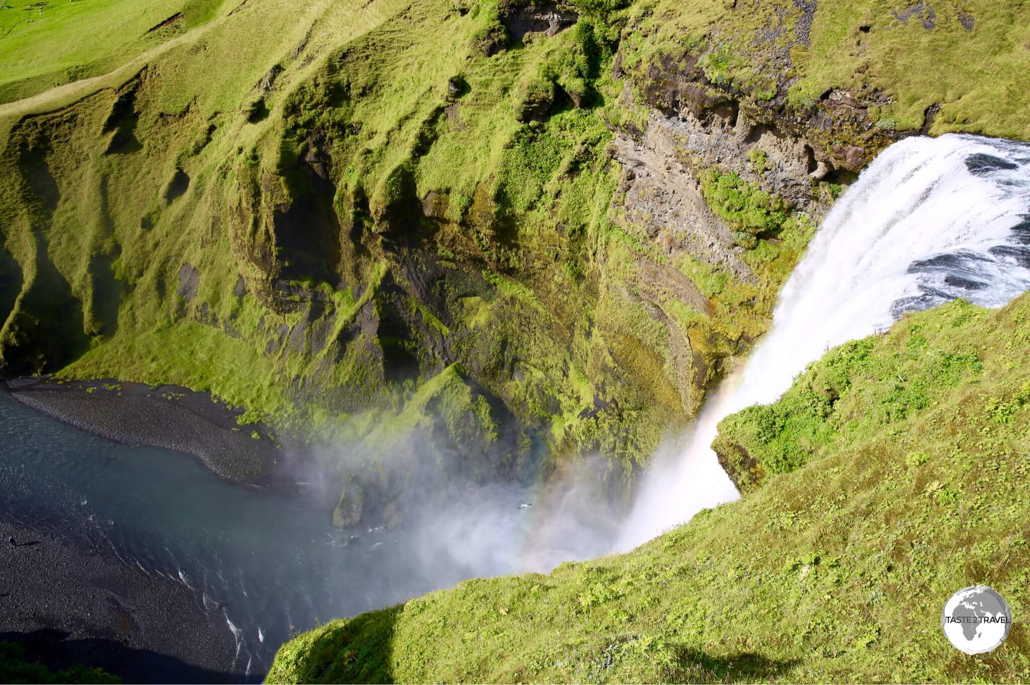
View from the top of Skógafoss waterfall.
Eyjafjallajökull
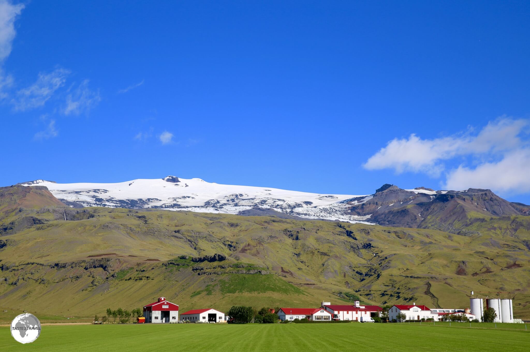
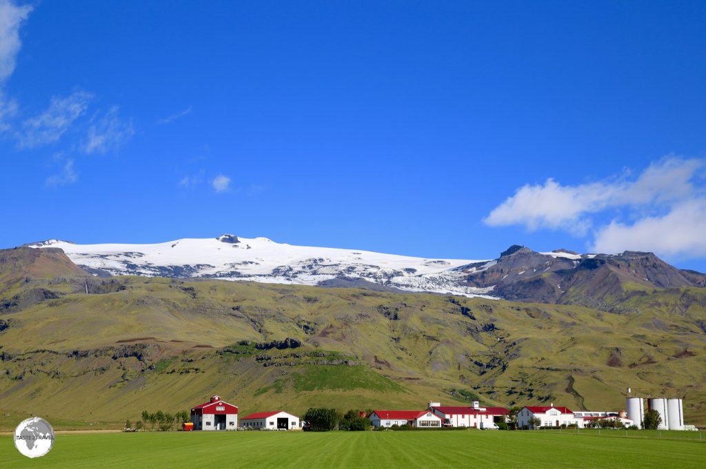
Now sleepy, an eruption of Eyjafjallajökull volcano in 2010 caused enormous disruption to air travel across Europe for a week.
Eyjafjallajökull (volcano) gained notoriety during its last eruption in April, 2010 when, although relatively small for volcanic eruptions, it caused enormous disruption to air travel across western and northern Europe over a period of six days. The volcano is covered by a 100 km2 ice cap which feeds many surrounding glaciers.
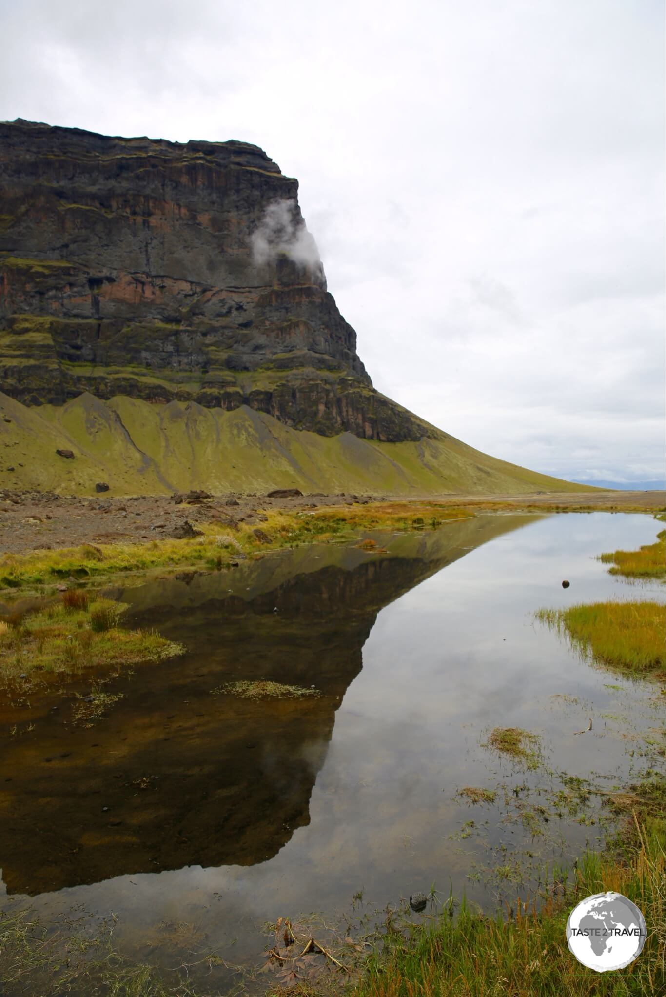
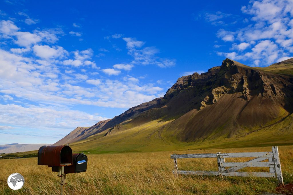
Typical south coast scenery in Iceland.
Mýrdalsjökull
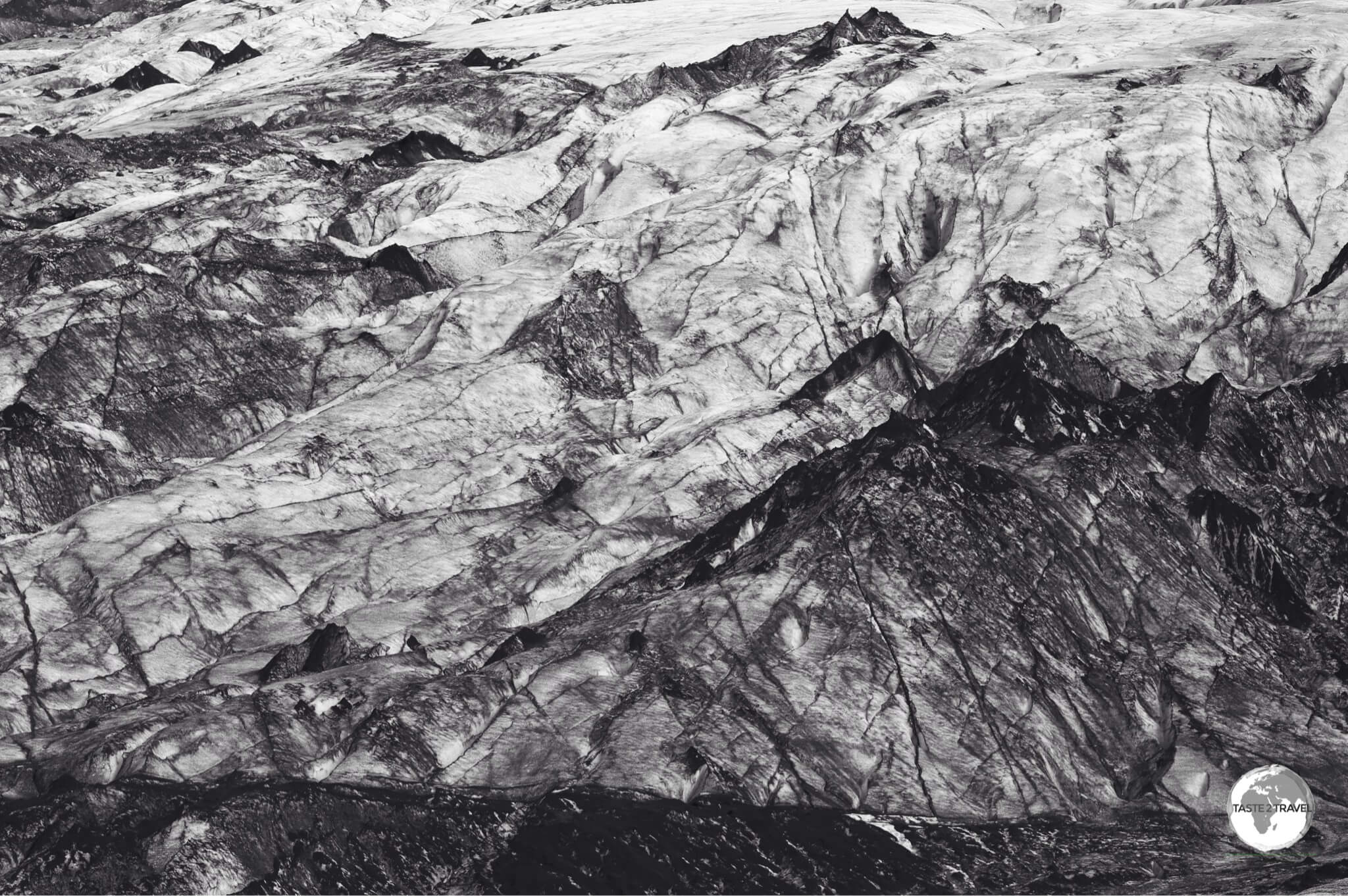
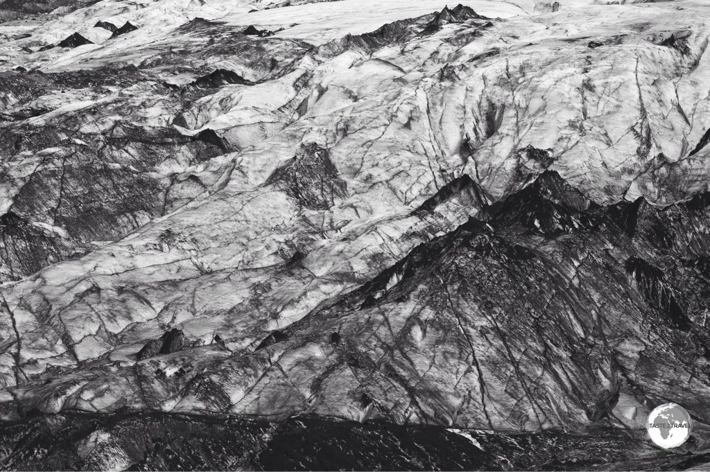
The Mýrdalsjökull glacier.
Mýrdalsjökull is the country’s fourth largest glacier, covering nearly 600 km2. The ice cap covers the Katla volcano, an active volcano which erupts on average every 40-80 years, with the last eruption being in 1918. A company at the base of the glacier offers walks on the ice.
Sólheimasandur
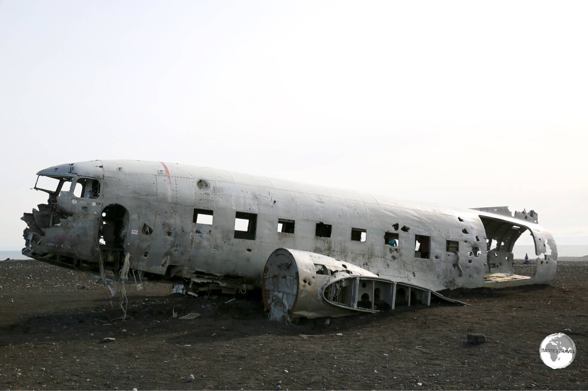
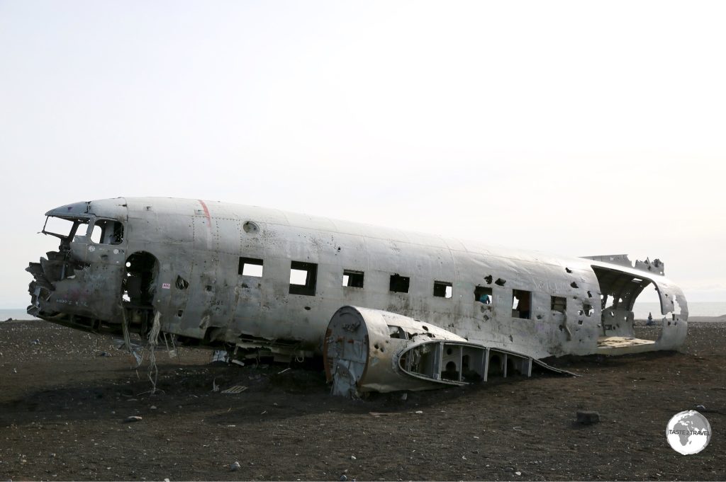
A US Navy airplane, a Douglas Super DC-3, wrecked on the black sands of Sólheimasandur beach.
On November 24, 1973 a United States Navy plane crashed onto the black-sand beach at remote Sólheimasandurin. The crash was caused due to a sudden weather change but the pilot was able to land the plane without any fatalities.
The U.S. military salvaged the usable pieces and left the rest on the beach. To reach the plane you must walk for 4-km across an old glacier plain to the wreckage (you should allow 40 mins each way).
Reynisfjara
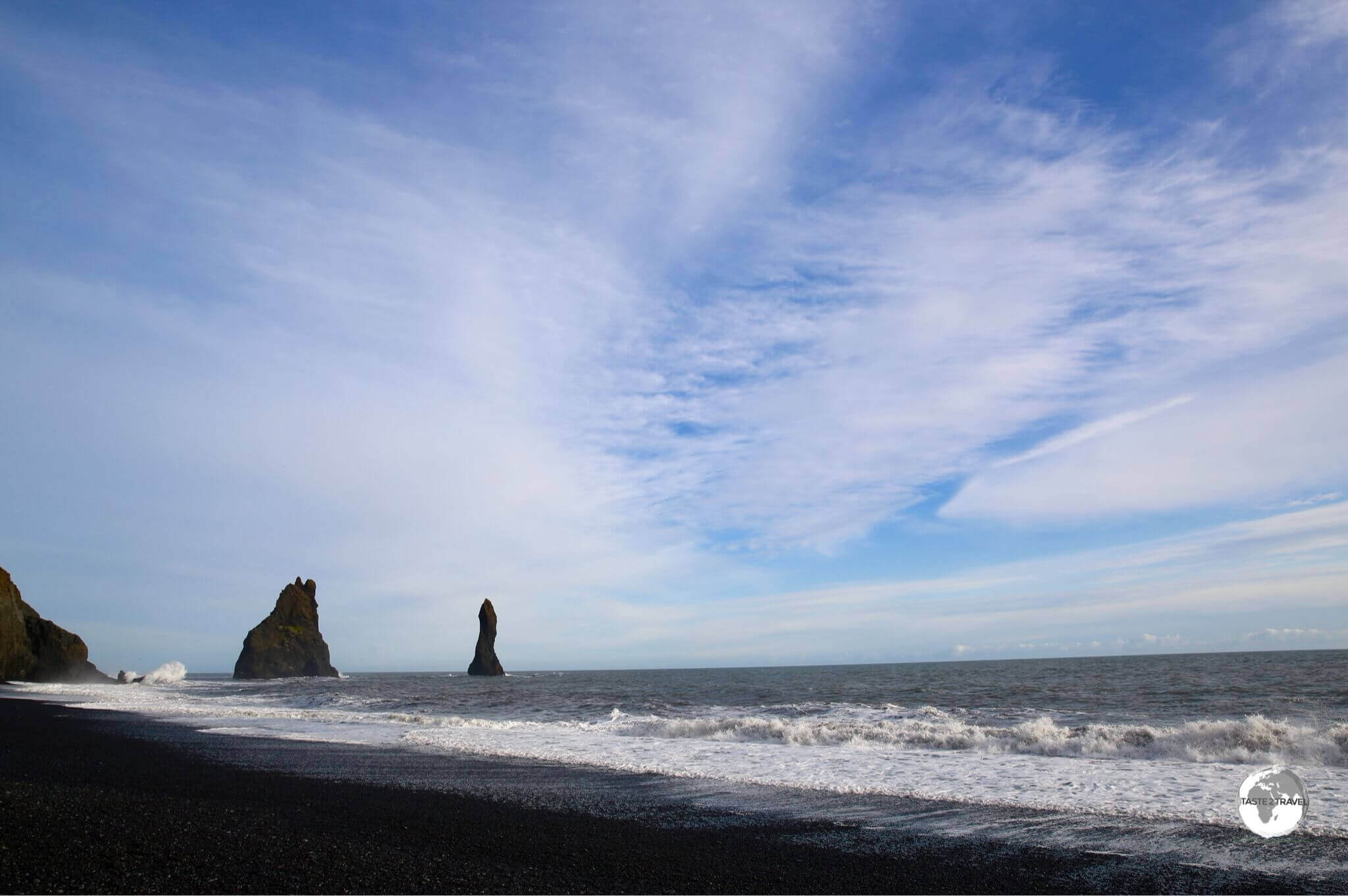
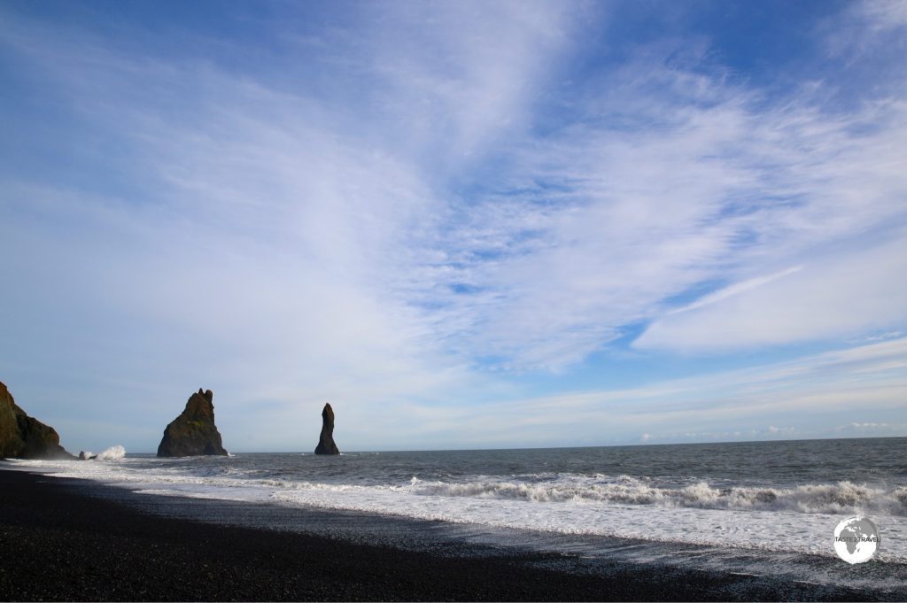
Reynisfjara (black-sand beach) with the towering Reynisdrangar.
Reynisfjara is a stunningly beautiful black-sand beach, famous for its basalt sea-stacks (Reynisdrangar).
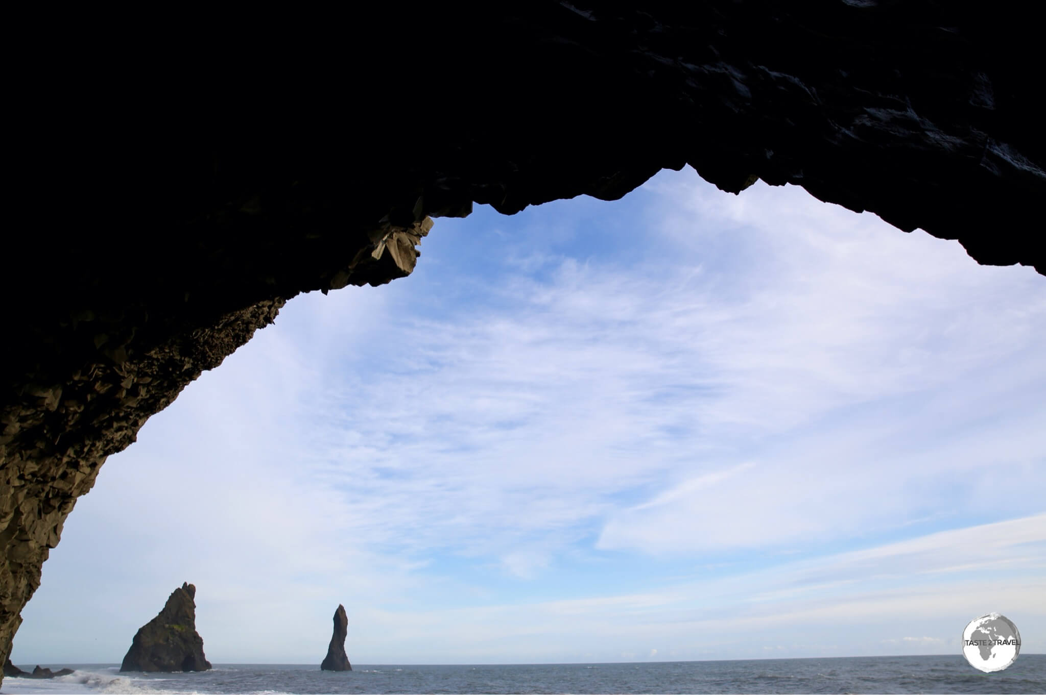
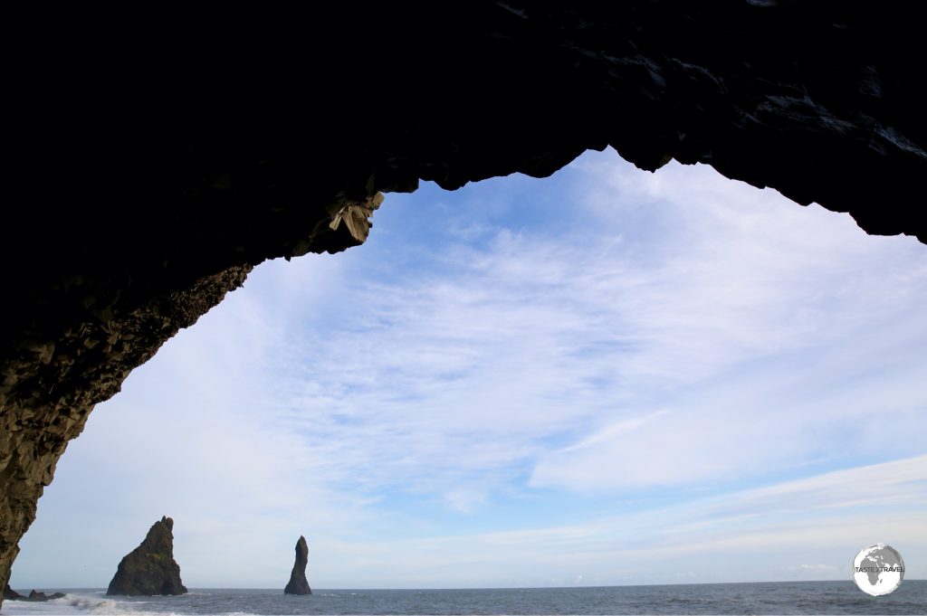
View of Reynisdrangar from inside the basalt column cave.
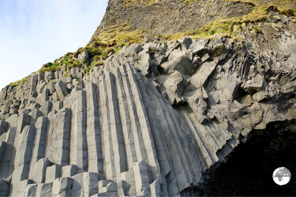
The black sand isn’t the only lava creation on Reynisfjara – looking like a pipe organ in a cathedral, Gardar is an enormous natural pyramid made of basalt columns. Beneath the columns is a cave which you can enter.
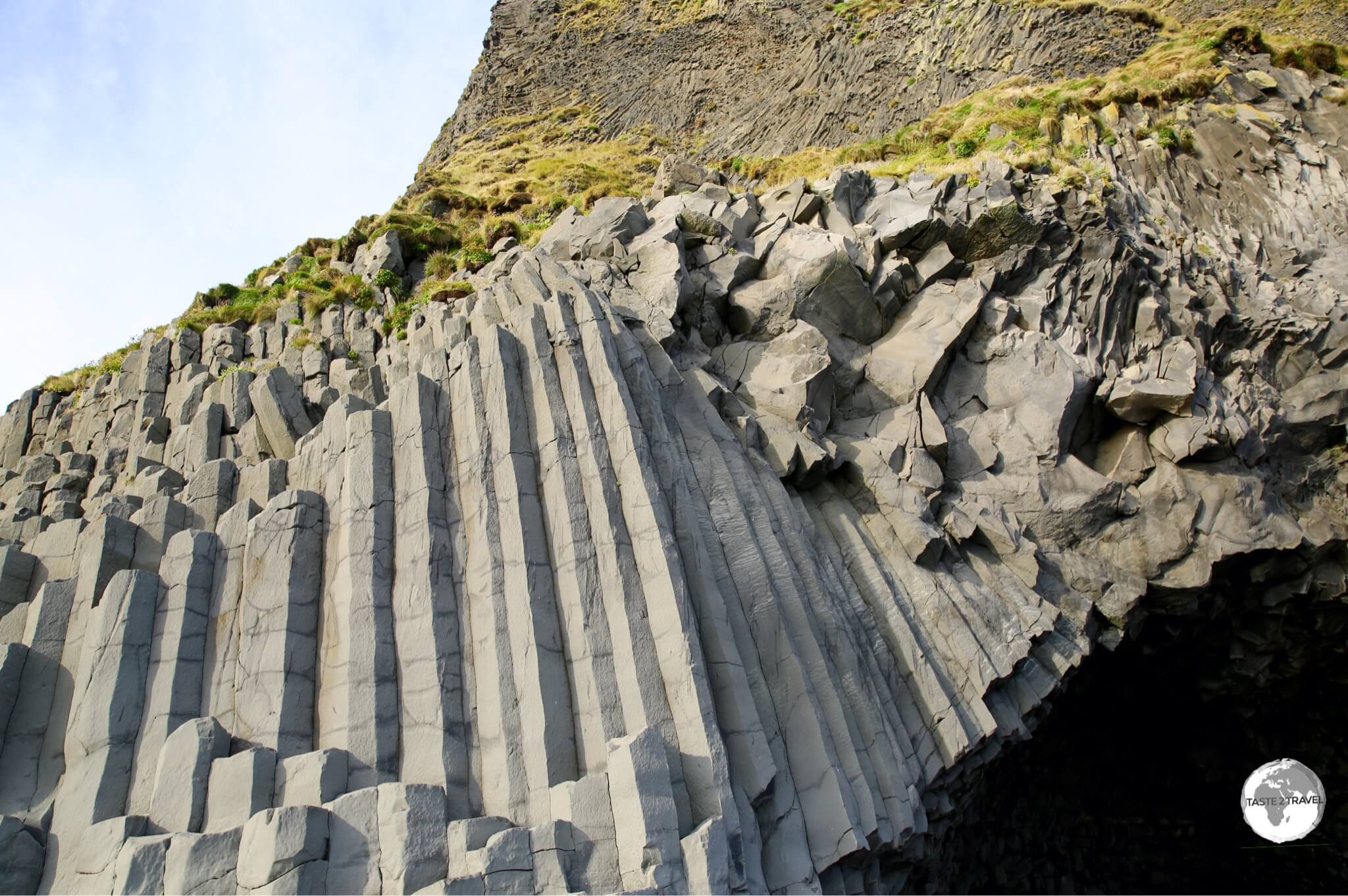
The perfectly formed basalt columns form a rocky pyramid known as Gardar.
Dyrhólaey
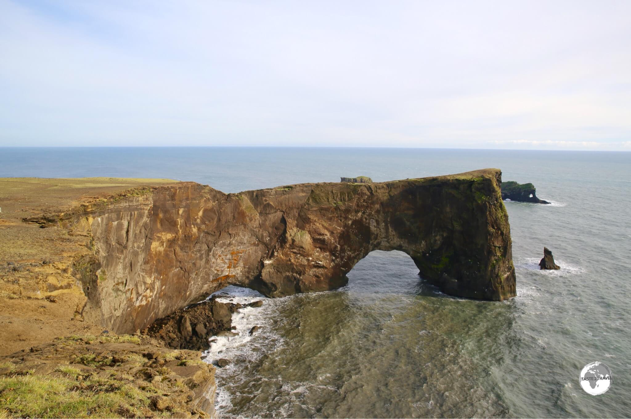
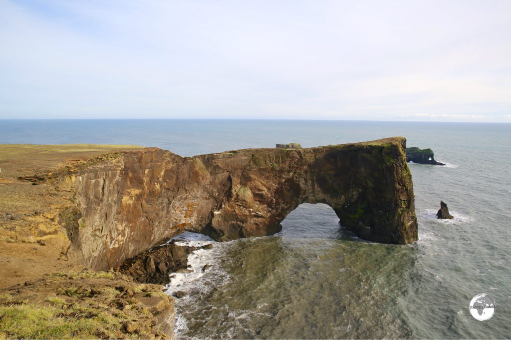
Dyrhólaey – a 120 m high arch carved out of a promontory.
Just along the coast from the black sand beach and close to the town of Vik is the Dyrhólaey peninsula whose name translates as ‘the hill-island with the door-hole’, named after a 120 m high arch carved out of the promontory.
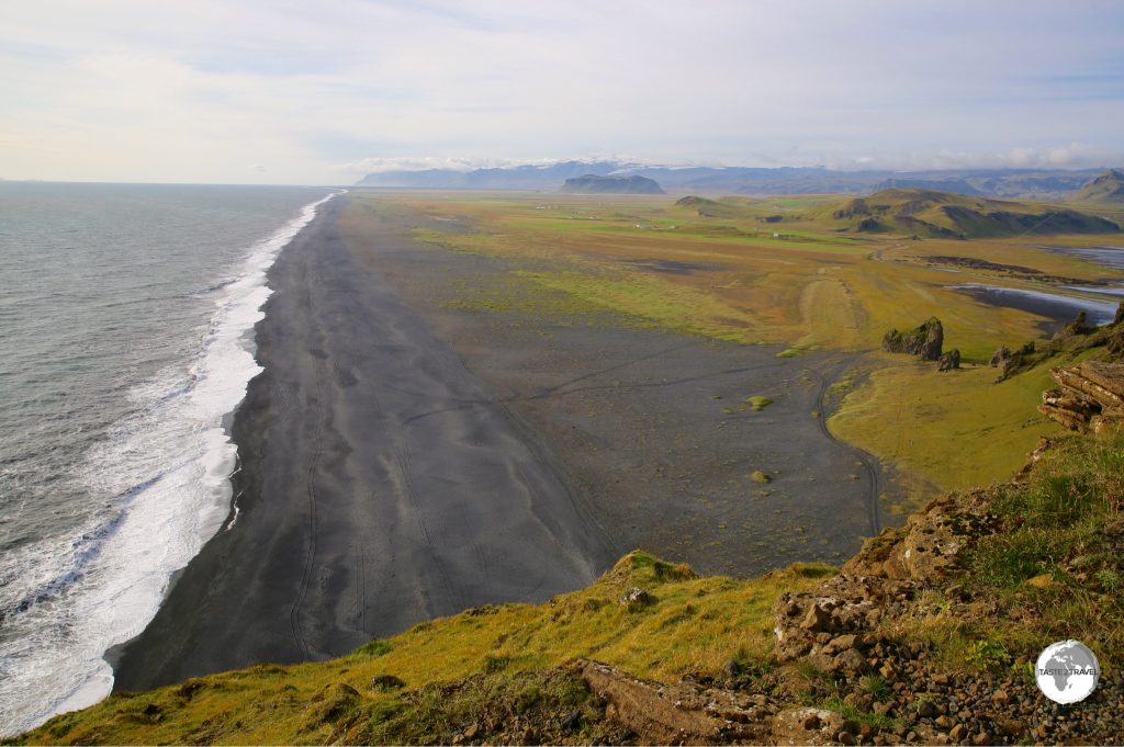
There are two viewing areas on the peninsula – a lower and upper. A rough gravel road leads up a steep hill to the upper viewing area where you’ll find a lighthouse which affords panoramic views along the coast.
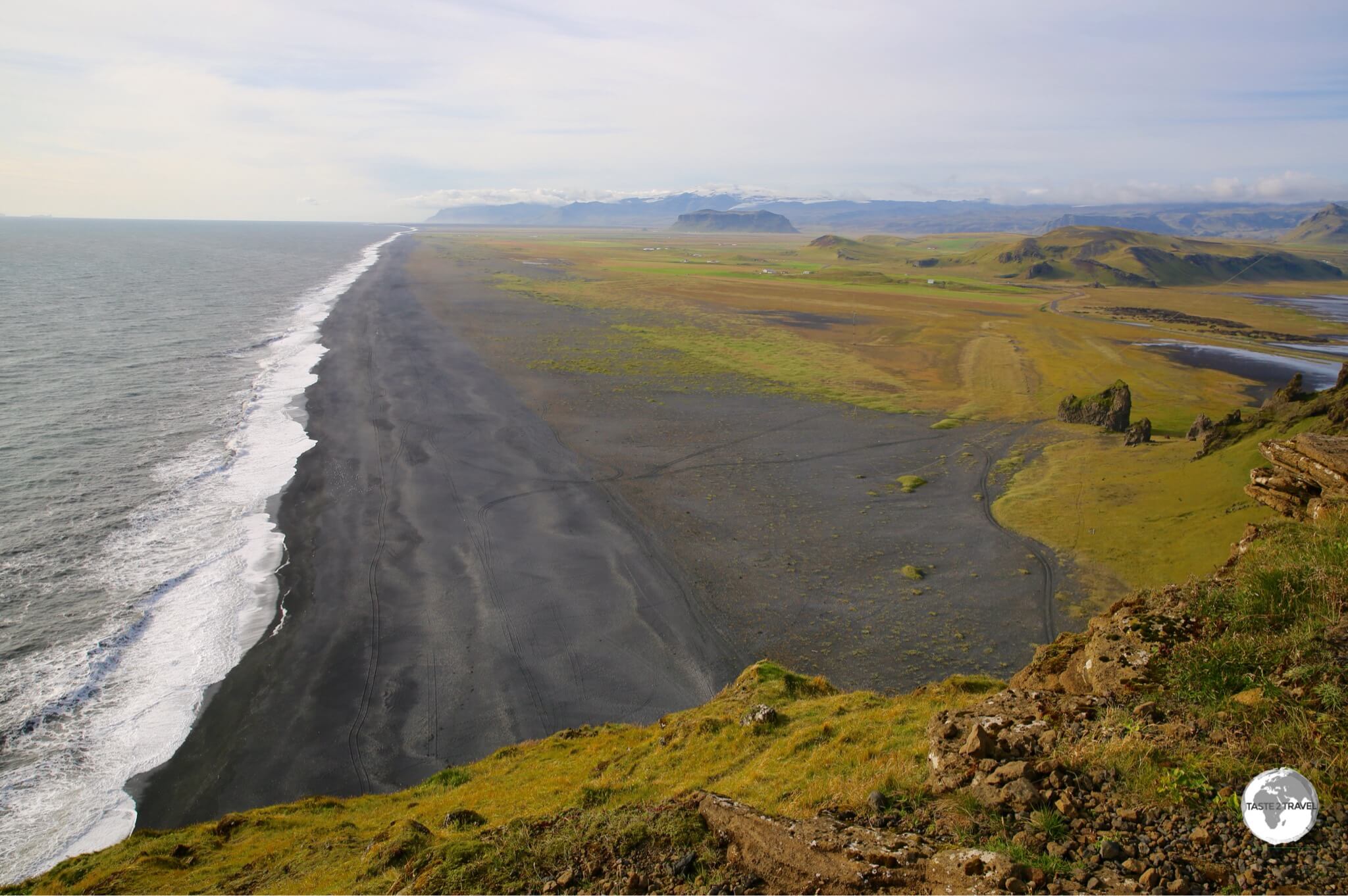
View along the coast from Dyrhólaey lighthouse.
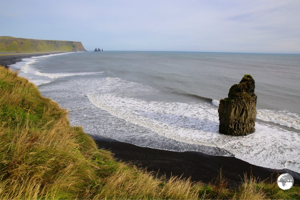
A sealed road leads to the lower viewing area where you have a spectacular view of Arnardrangur or “Eagle Rock” which stands like a sentinel on Reynisfjara beach. The rock gets its name from the eagles that nested there until 1850.
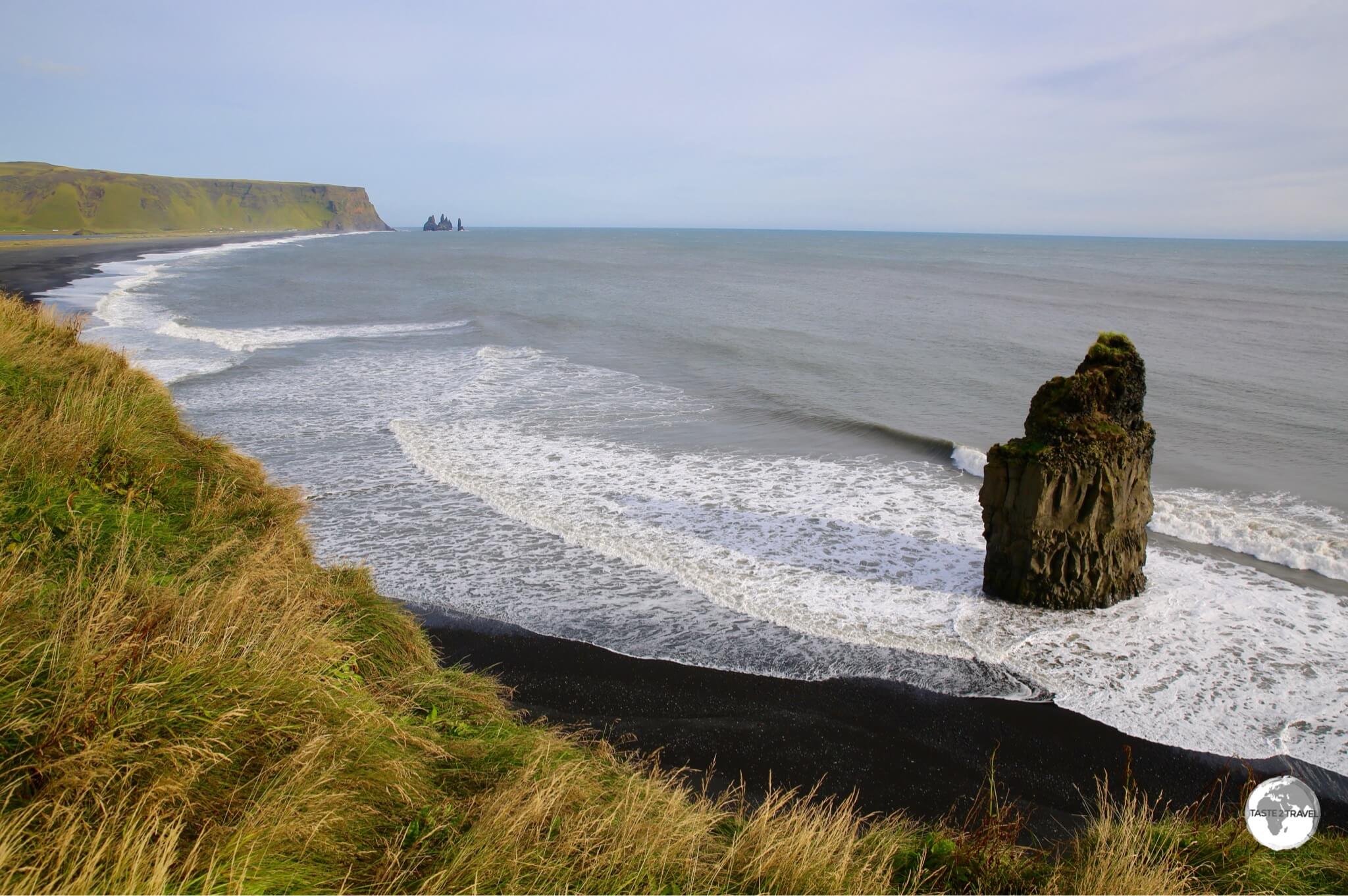
Arnardrangur or “Eagle Rock” on Reynisfjara beach.
Vik
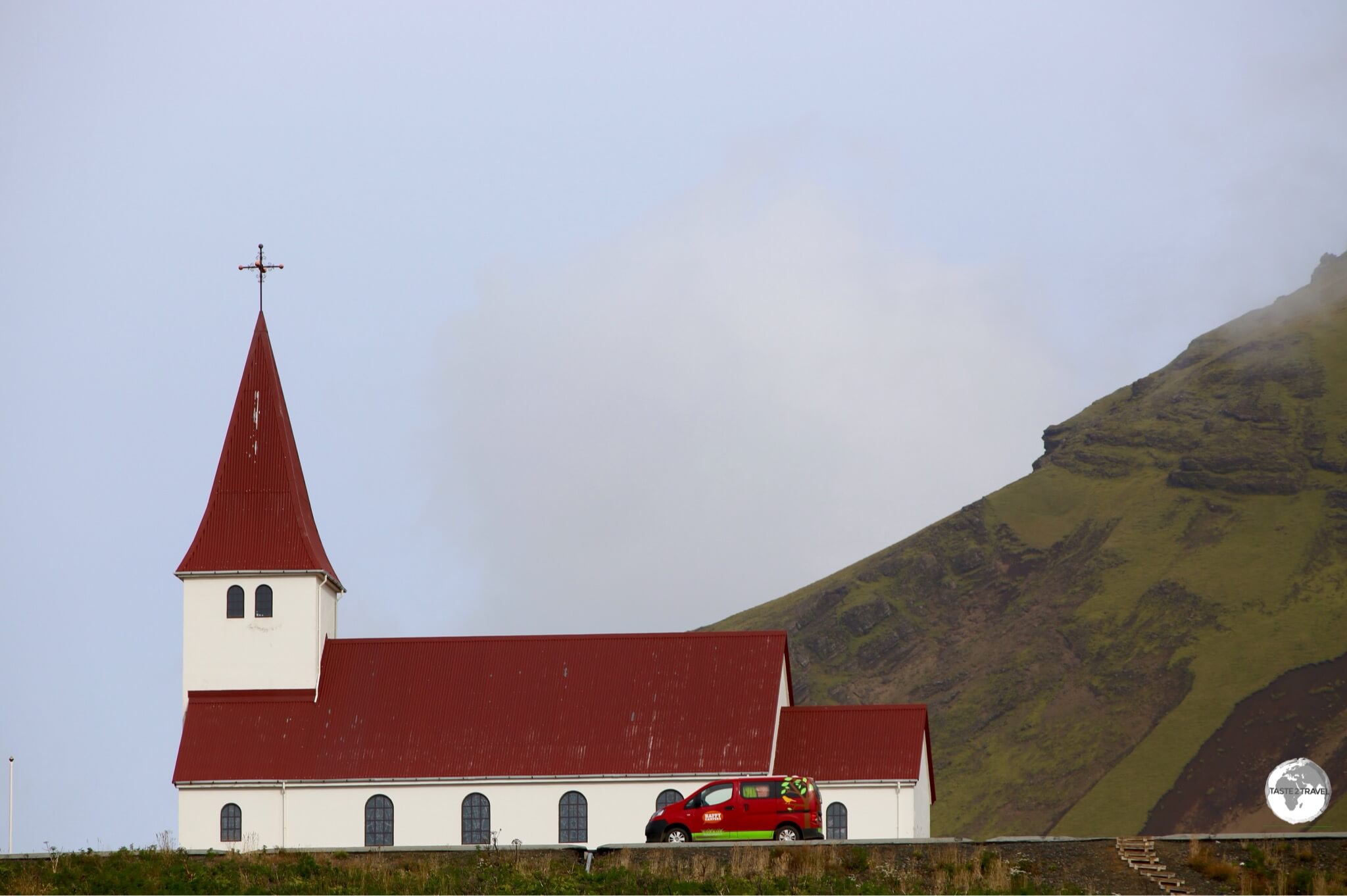
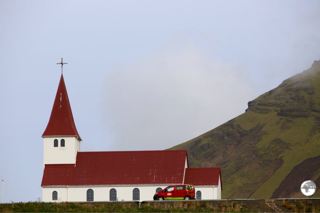
The hilltop church at Vik.
Located on the coast, in the shadow of Mýrdalsjökull glacier and dominated by it’s hilltop church, Vík í Mýrdal is the most southern town in Iceland. Vik is the largest service centre along the south coast so it’s a good place to refuel your car and yourself.
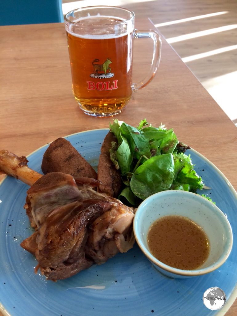
If you’re in town for lunch or dinner I recommend the delicious lamb leg served at the restaurant inside the Icewear shop. If you’re heading further east you should ensure you leave town with a full tank of fuel as there are few petrol stations east of Vik.
Skaftafell
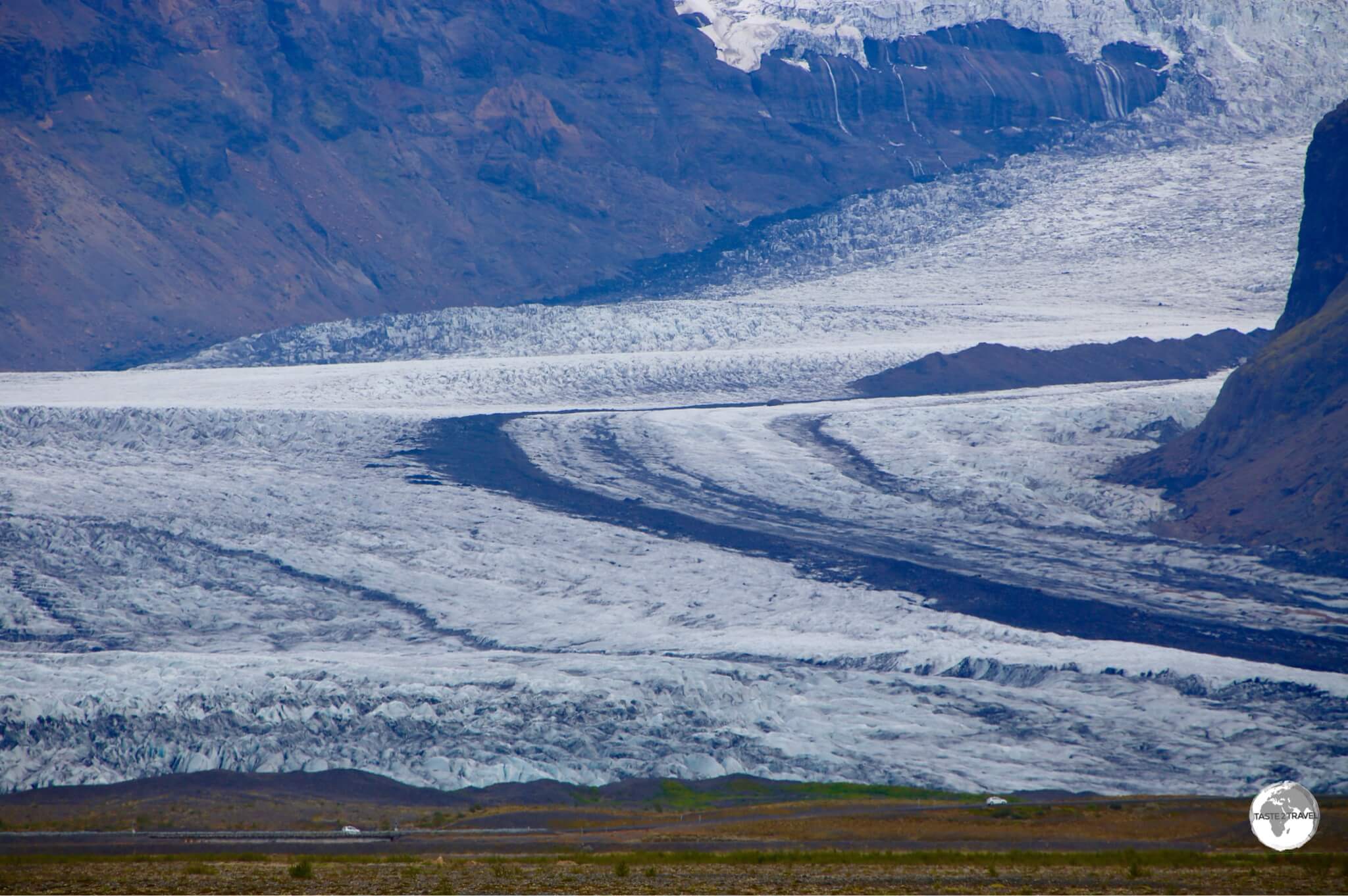
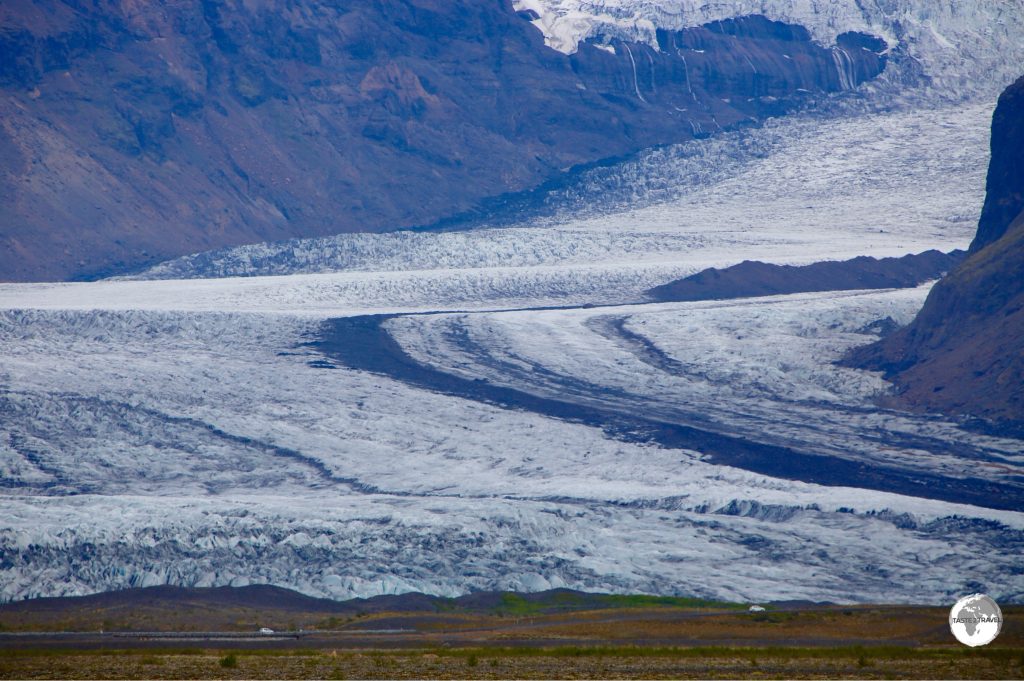
Cars passing in front of Skaftafellsjökull provide a sense of scale.
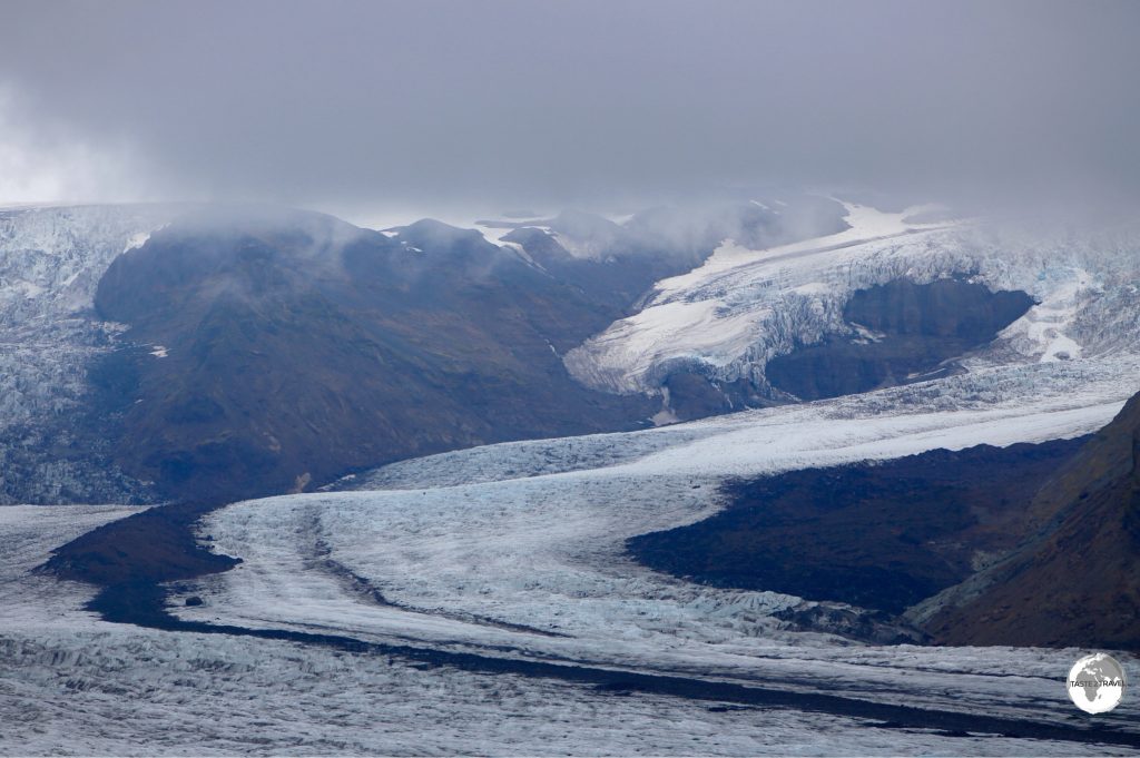
Part of the Vatnajökull National Park, Skaftafell is a hikers paradise, with trails leading to incredible sights such as the Skaftafellsjökull – a relatively small spur draining the massive Vatnajökull ice field, which at 8,100 km² is Europe’s largest ice cap. Vatnajökull covers 8% of the total territory or Iceland with average ice thickness being 400m.
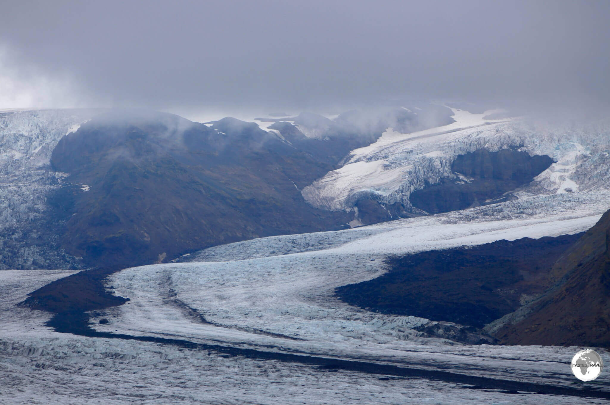
Skaftafellsjökull, a small spur of the much larger Vatnajökull.
A hiking trail leads from the visitor’s centre to a high mountainside ridge which affords a stunning panoramic view of Skaftafellsjökull.
Snaefellsnes Peninsula
I made a day trip of the peninsula from Reykjavik but there is so much here it deserves a longer visit. If staying overnight you have options in Ólafsvík and Arnarstapi. The scenery is spectacular and the sights are breath-taking.
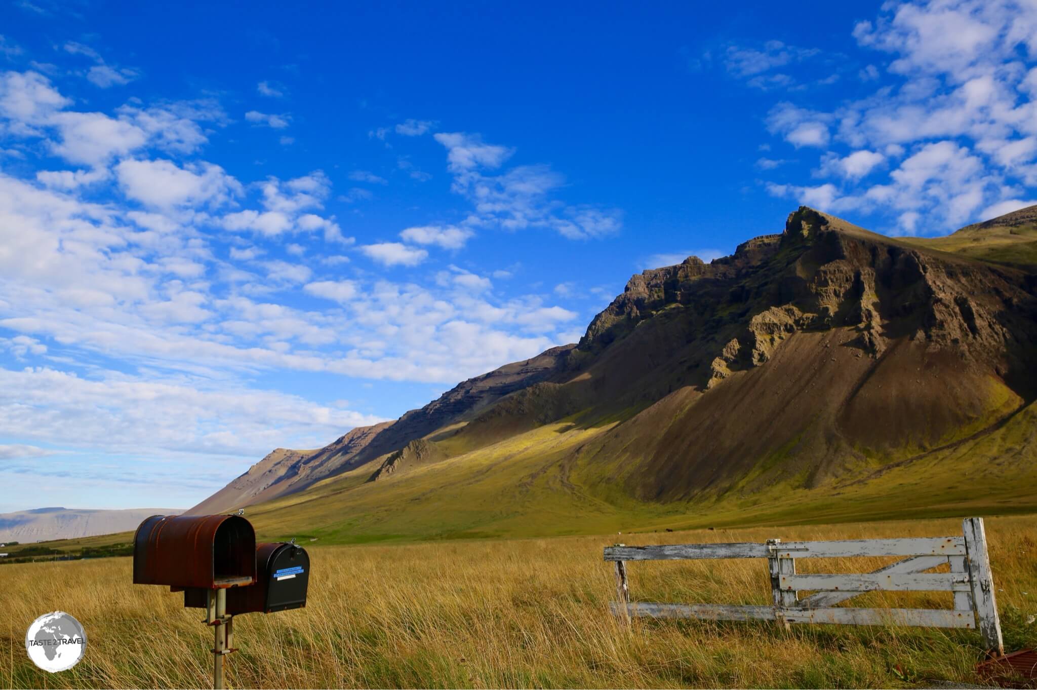
Scenery on the Snæfellsnes peninsula.
Budir
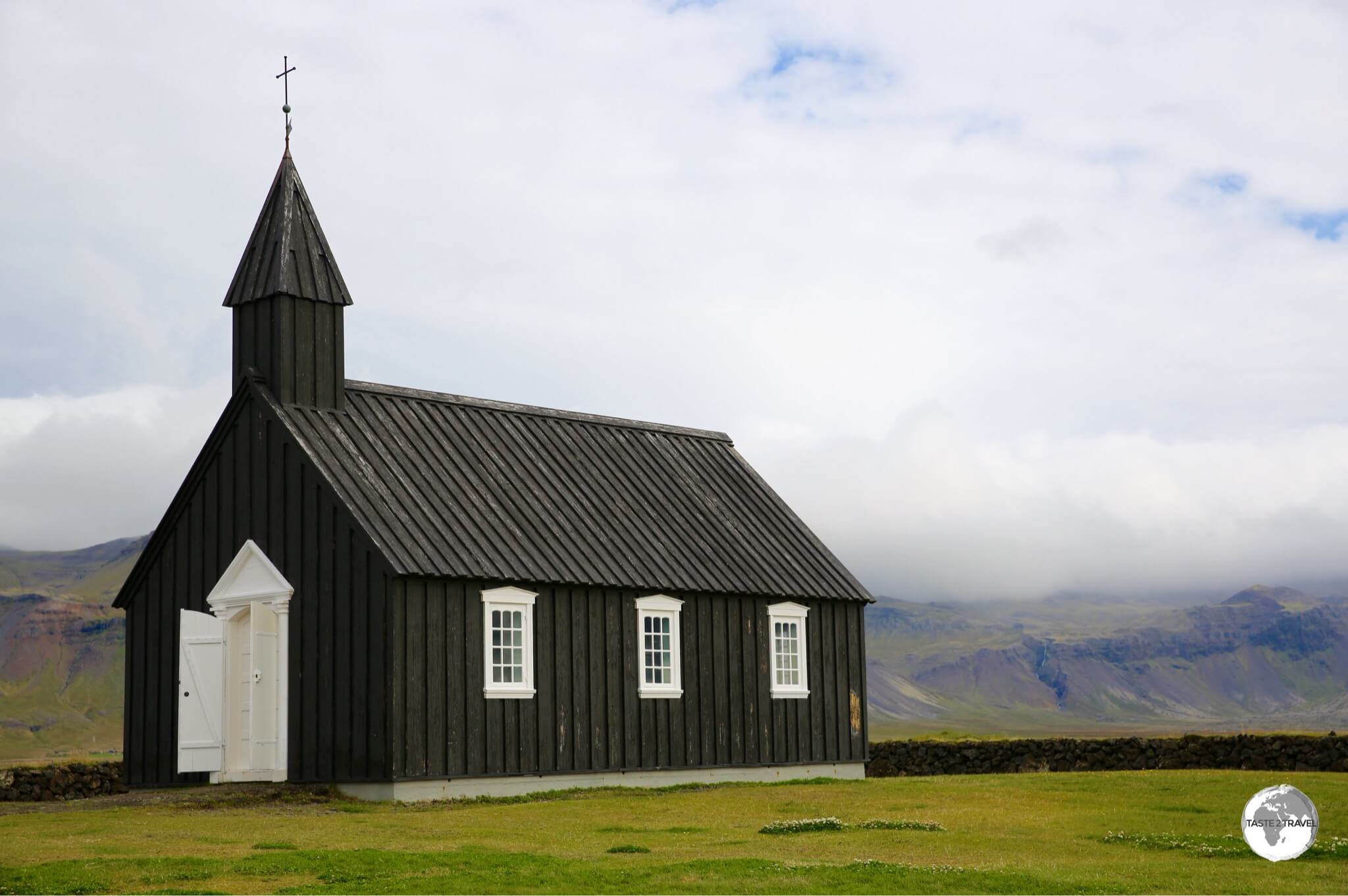
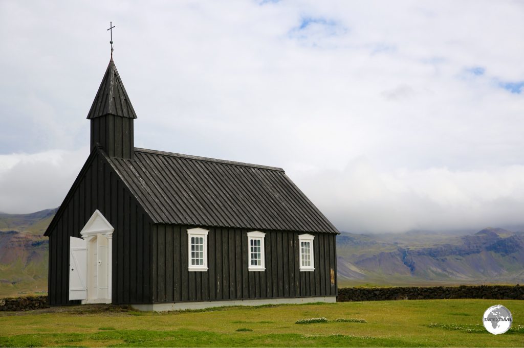
The black wooden Budarkirkja (church) at Budir.
Budir is a tiny hamlet set amid the sprawling, barren Budahraun lava field which is known for it’s quaint black wooden church (Budarkirkja), which stands alone on a small coastal hill
Raudfeldsgja
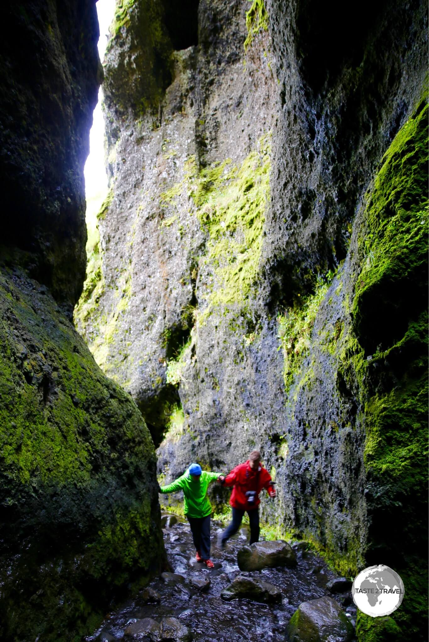
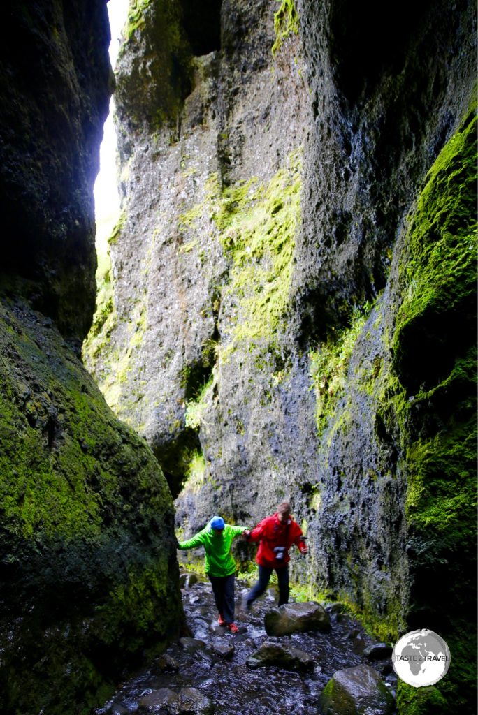
Entering the Raudfeldsgja canyon.
Located near to Arnarstapi, Raudfeldsgja (Rauðfeldsgjá) is a deep, high, narrow ravine in the cliffs south of the Snæfellsjökull glacier. The ravine gets its name from a family tragedy which is part of an Icelandic saga.
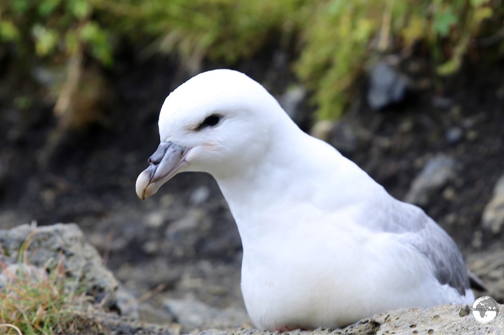
From the nearby road, the massive natural crack doesn’t immediately seem to be accessible, however, as you approach an entrance is revealed. The walls of the ravine are a favoured nesting site for Northern Fulmar seabirds.
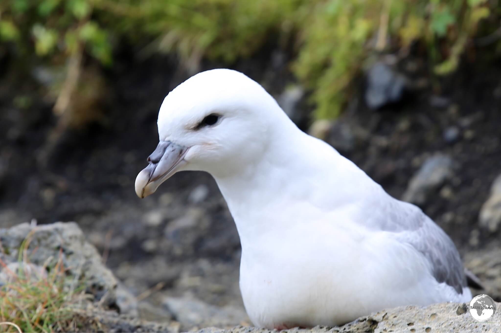
A Northern Fulmar nesting inside Raudfeldsgja canyon.
Arnarstapia
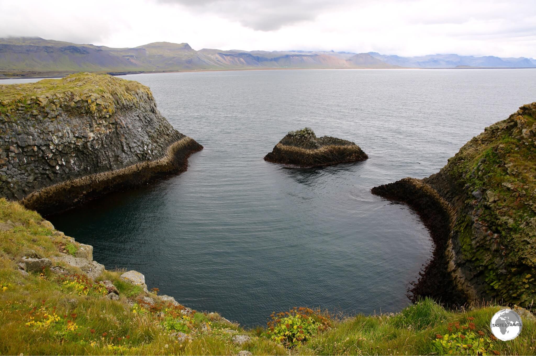
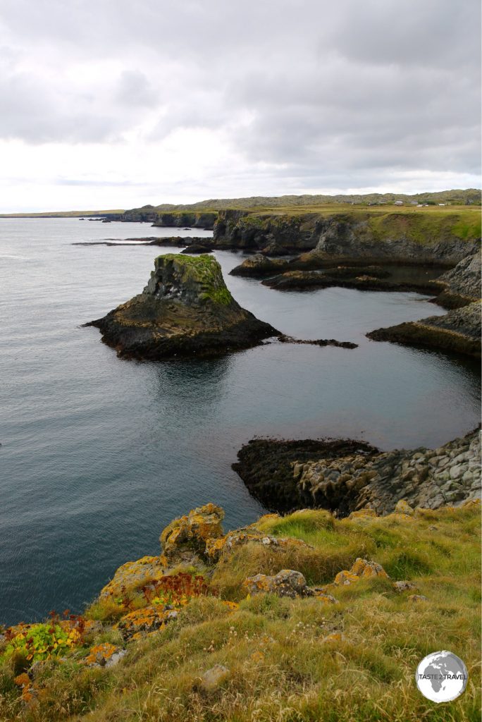
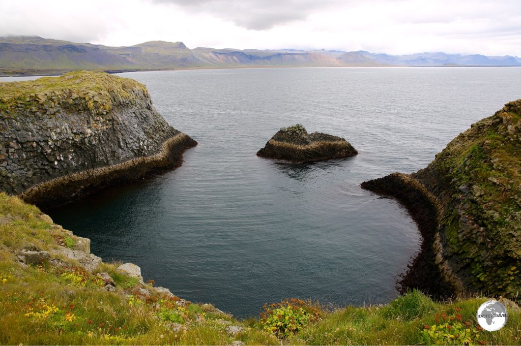
View of the coast at Arnarstapi.
Arnarstapi, or Stapi, is a quiet, quaint, remote fishing village located on the south side of the Snæfellsnes peninsula. With a dramatic coastline of cliffs and inlets, Stapi is a popular stop for tourists driving around the peninsula, offering a couple of hotels and restaurants. If you’re in town at lunch time I recommend the fish ‘n’ chips from the roadside kiosk on the road into town.
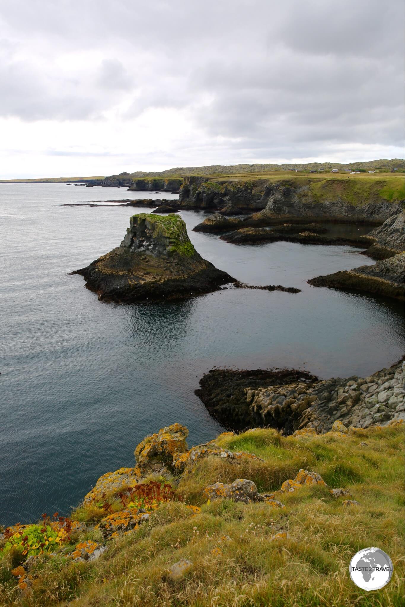
The beautiful Arnarstapi coastline.
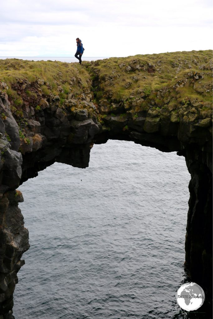
A walking trail along the coast offers incredible panoramic views along the peninsula. A series of deep basalt-columned chasms add an element of risk with one of them offering the chance to walk across a spectacular natural stone bridge.
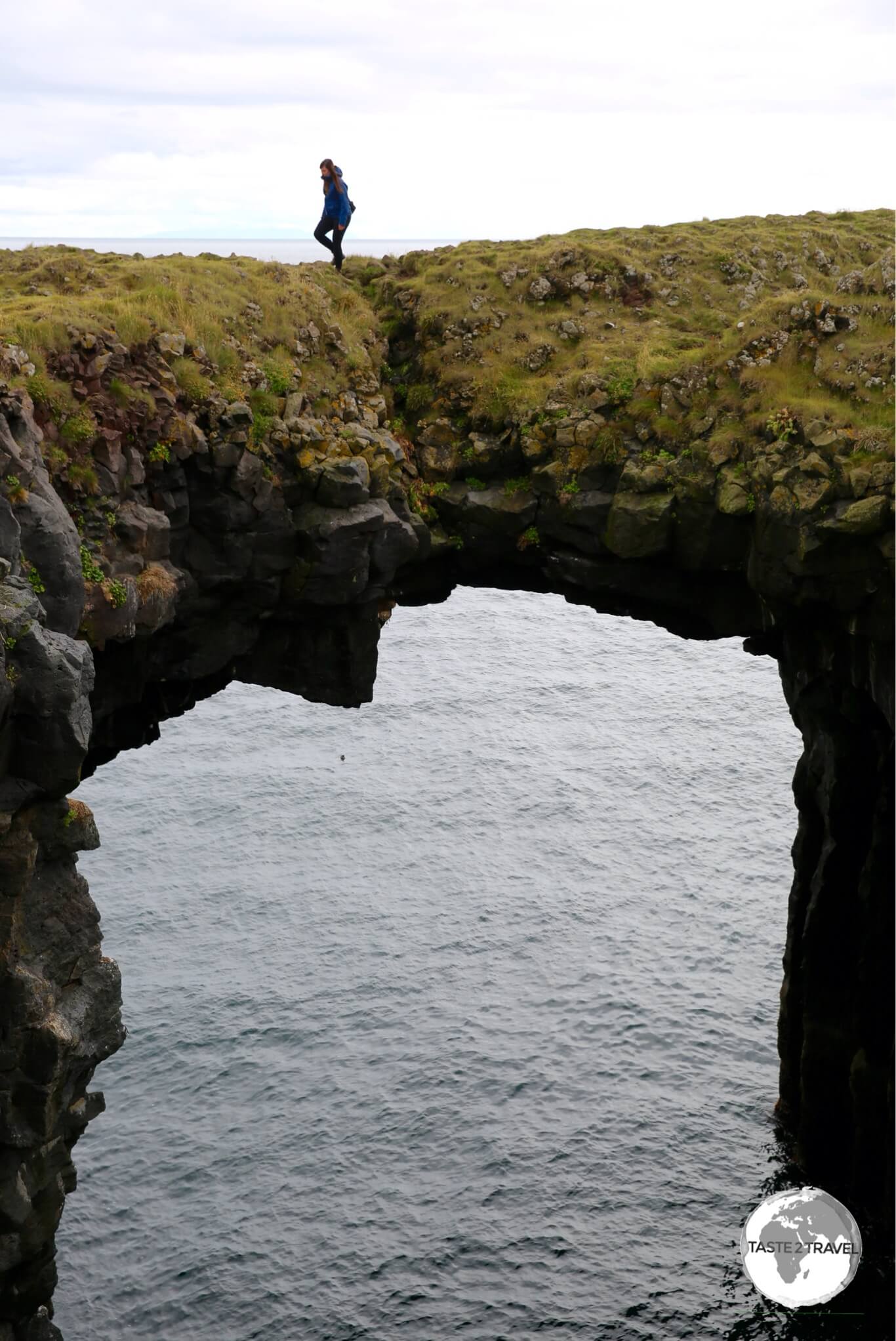
A natural bridge over a basalt ravine at Arnarstapi.
Djúpalónssandur Beach
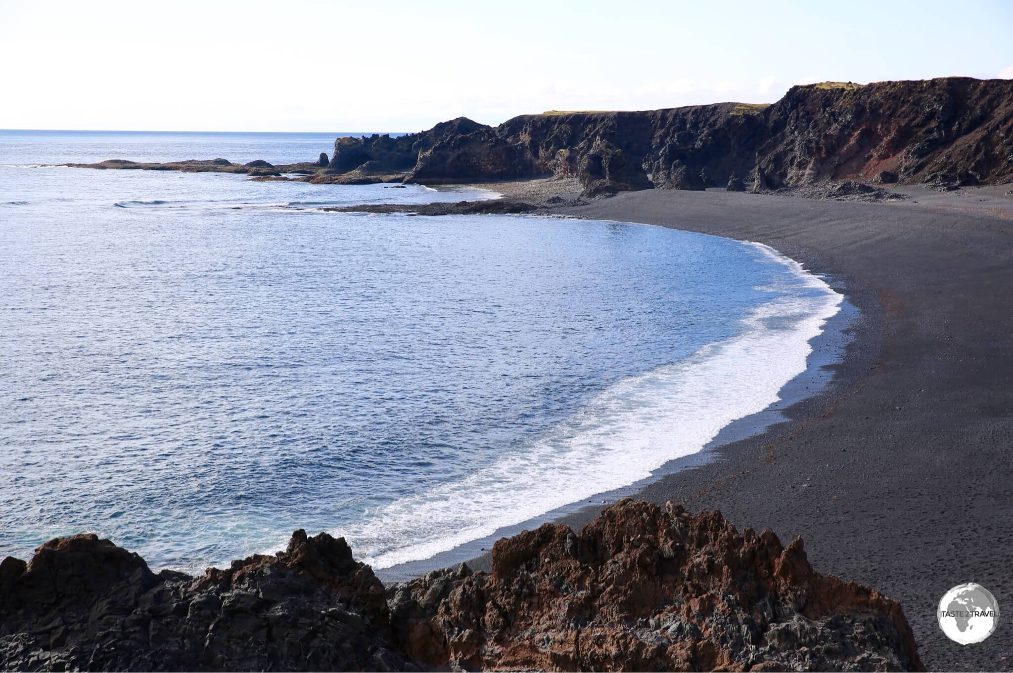
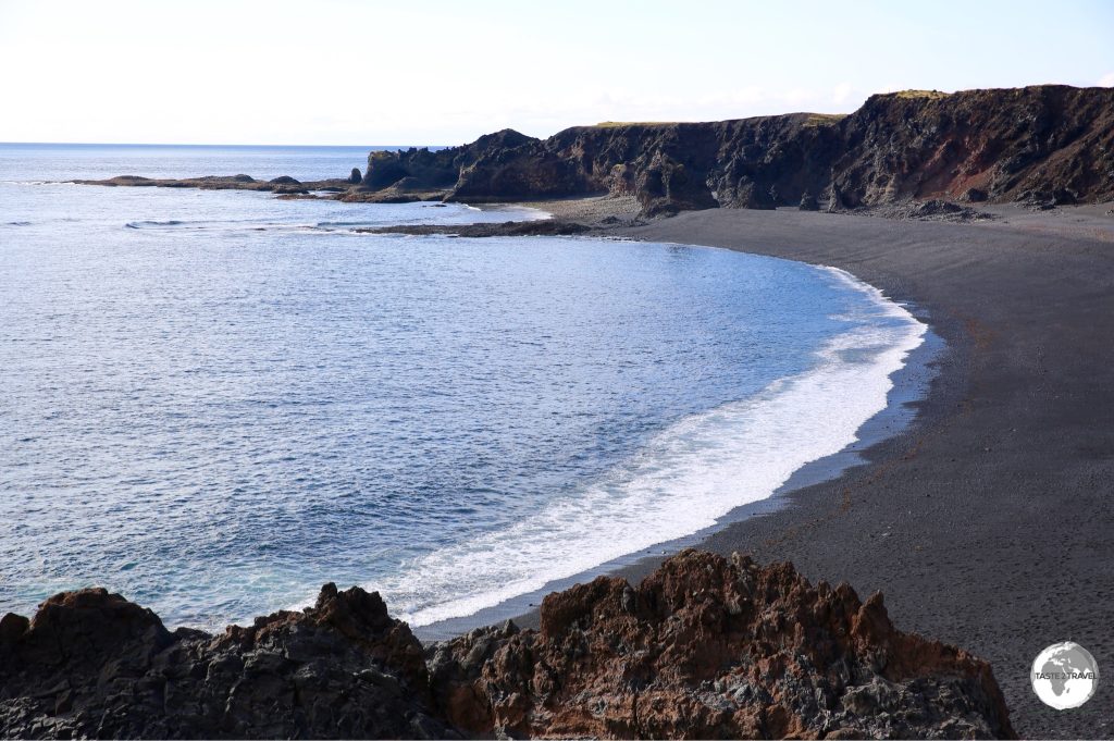
Djúpalónssandur beach is surrounded by lava formations.
Located on the eastern side of the peninsula, Djúpalónssandur beach is set amid a giant lava field.
Saxholl Crater
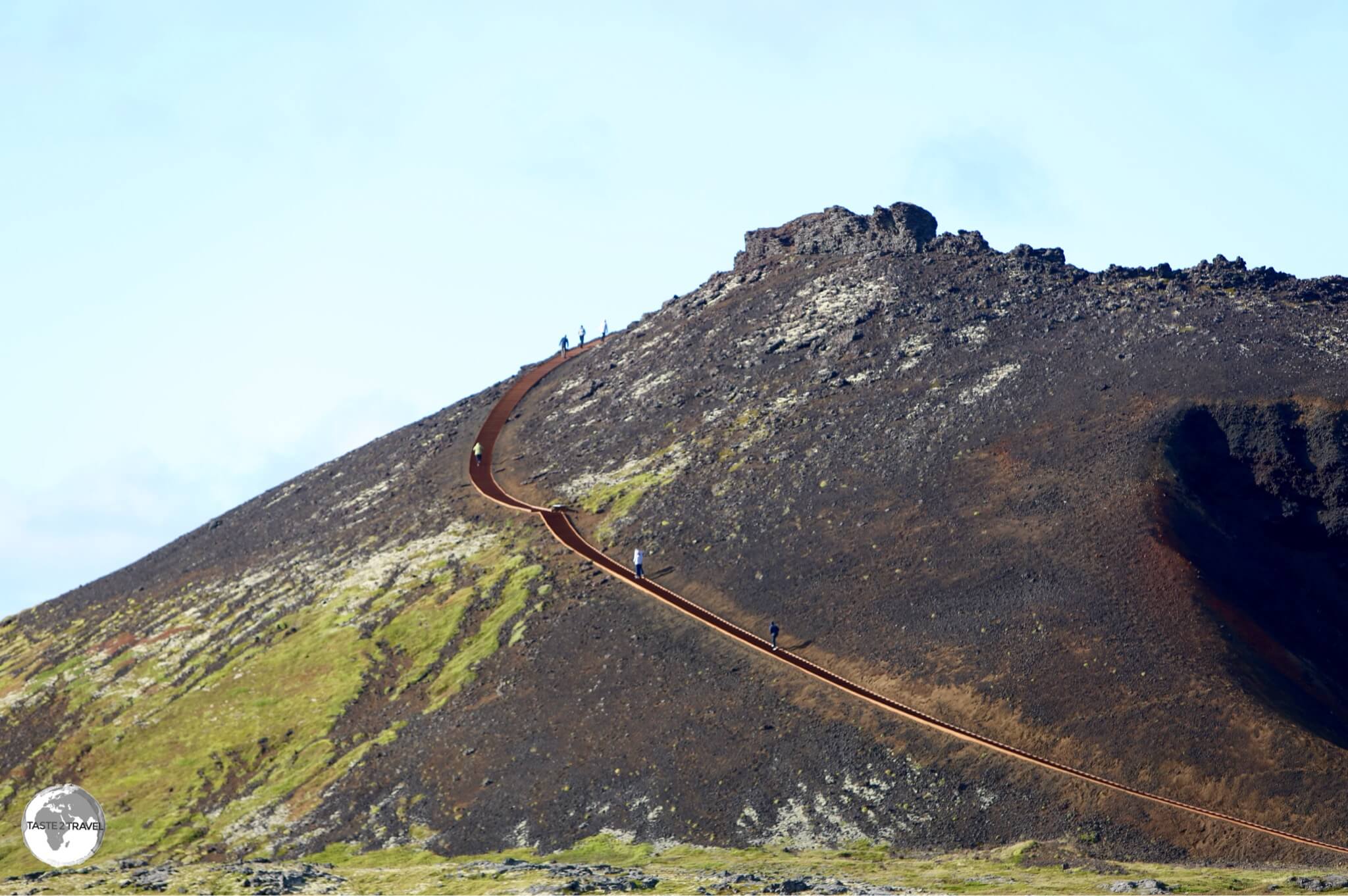
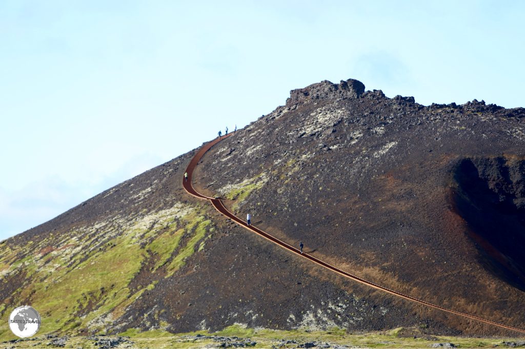
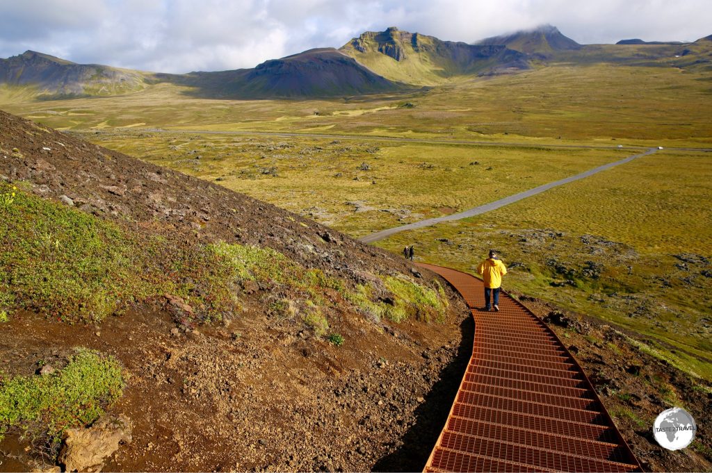
The perfectly shaped Saxholl Crater has a stairway leading to it’s summit.
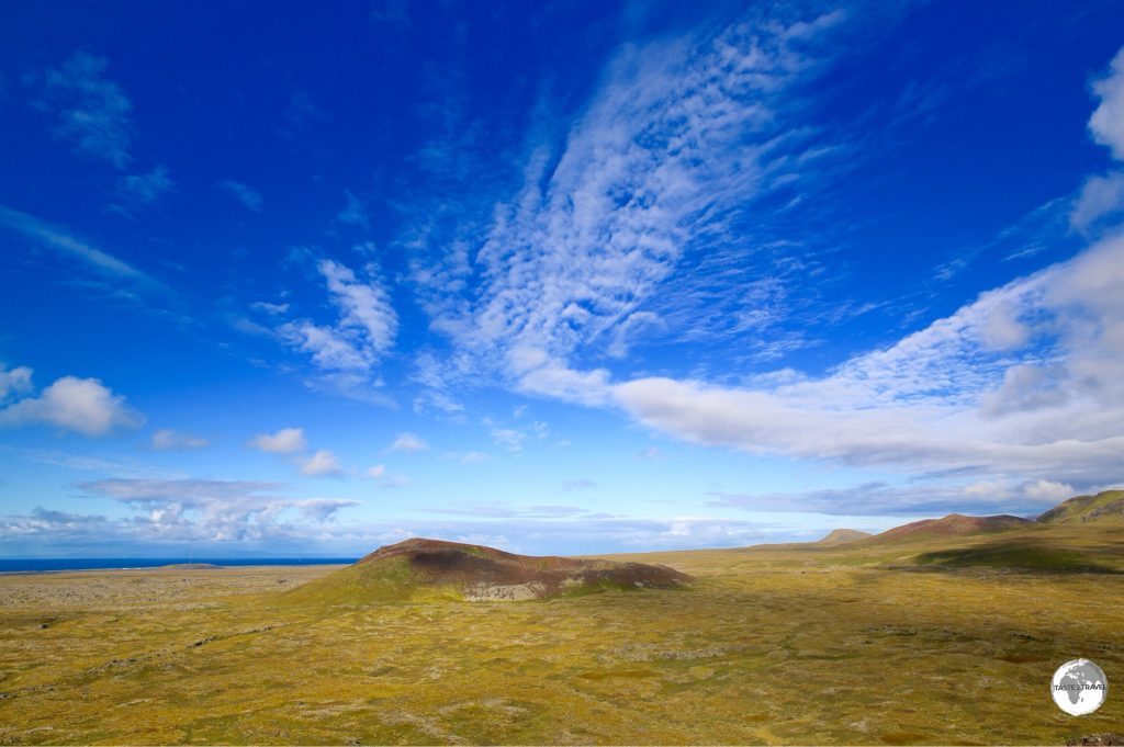
A metal staircase spirals to the top of Saxholl – a 100 m high crater, from where you have stunning views over the surrounding lava field.
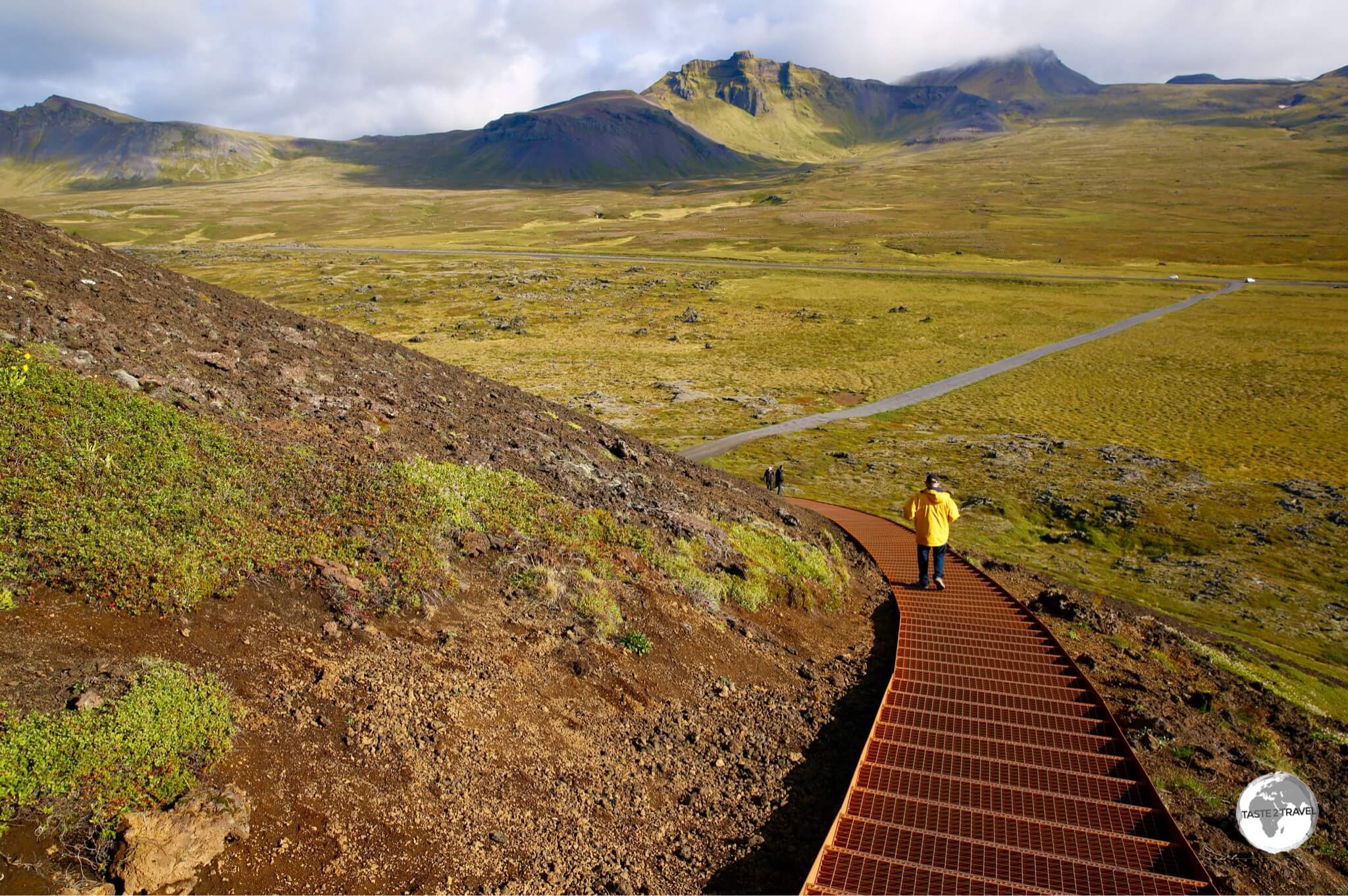
View from the top of Saxholl crater.
Ólafsvík
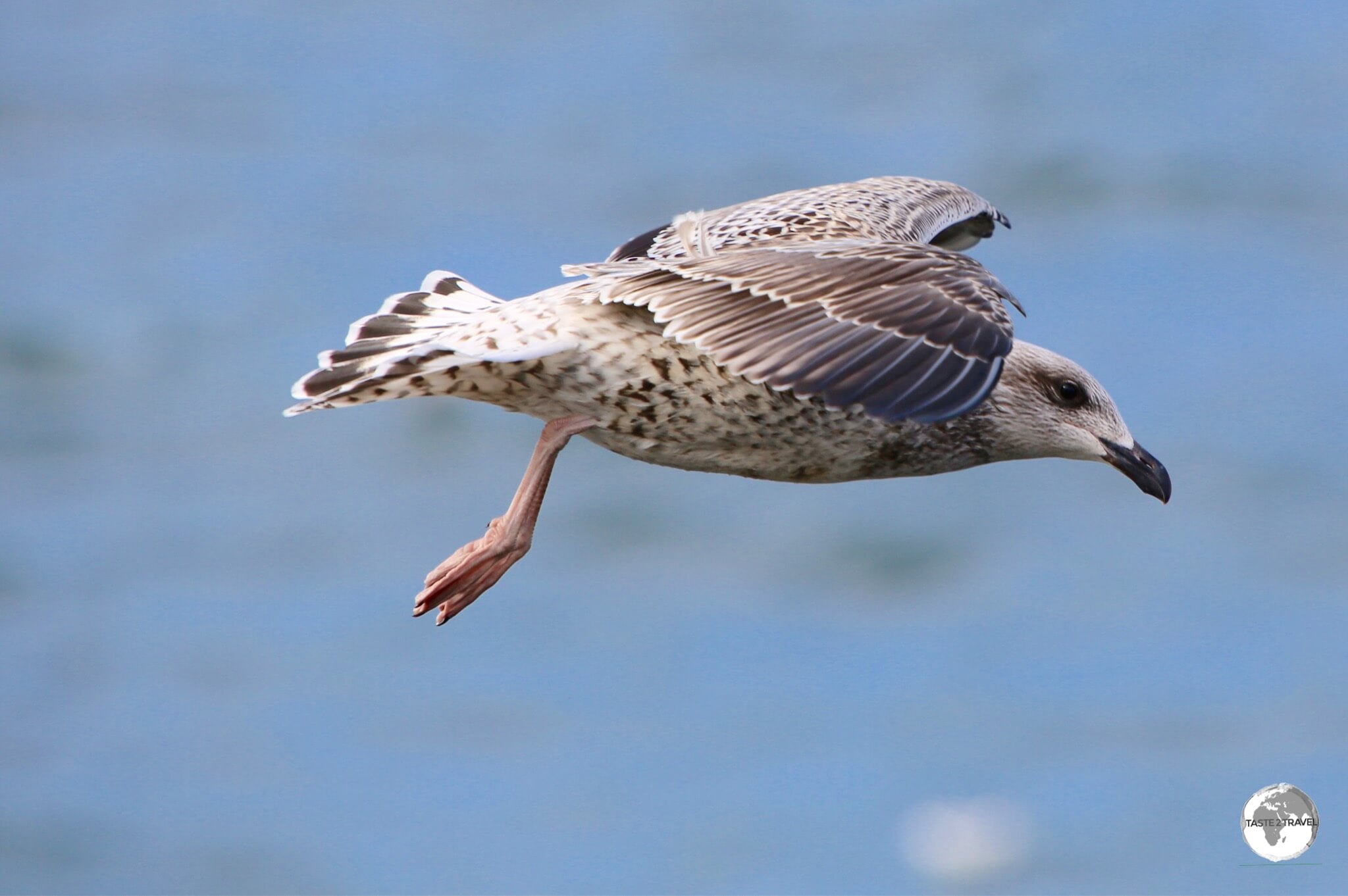
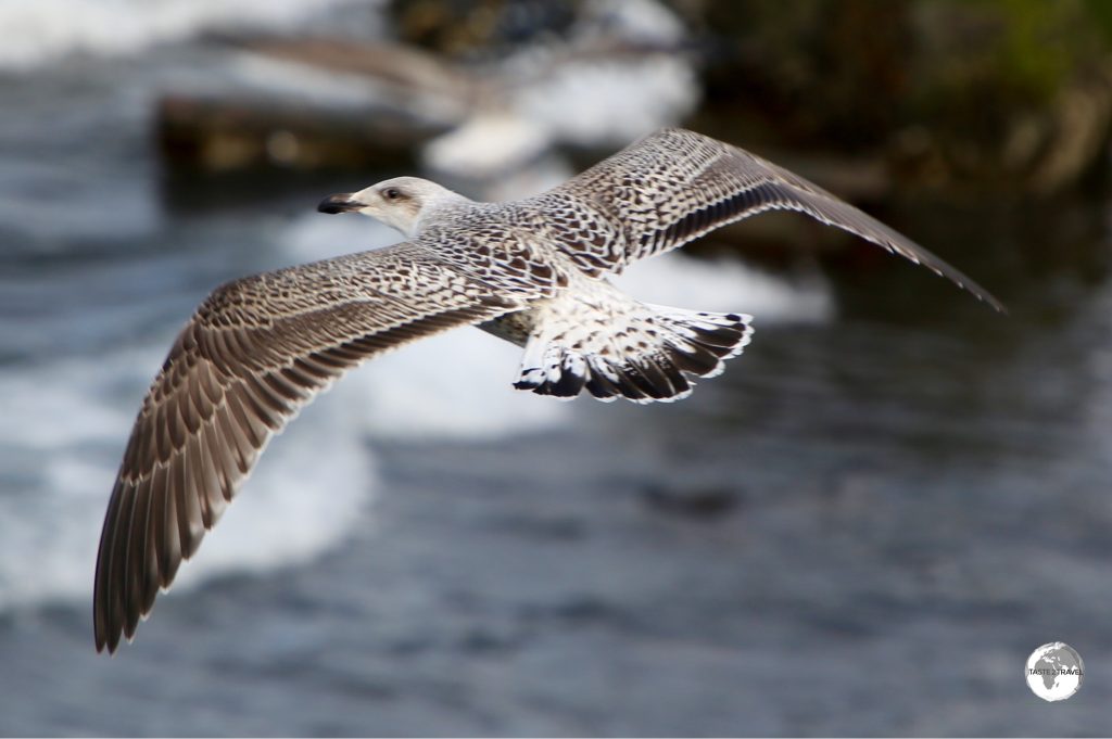
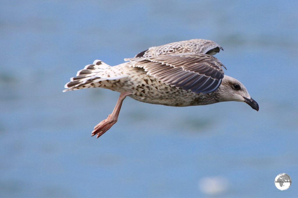
Iceland gull flying at Ólafsvík.
Ólafsvík is the main service centre for the peninsula and a large fishing port. With a good selection of hotels and restaurants, it makes a good base for exploring the peninsula. The town is often buffeted by fierce winds which makes it easy to photograph the large population of seabirds which congregate on the beaches.
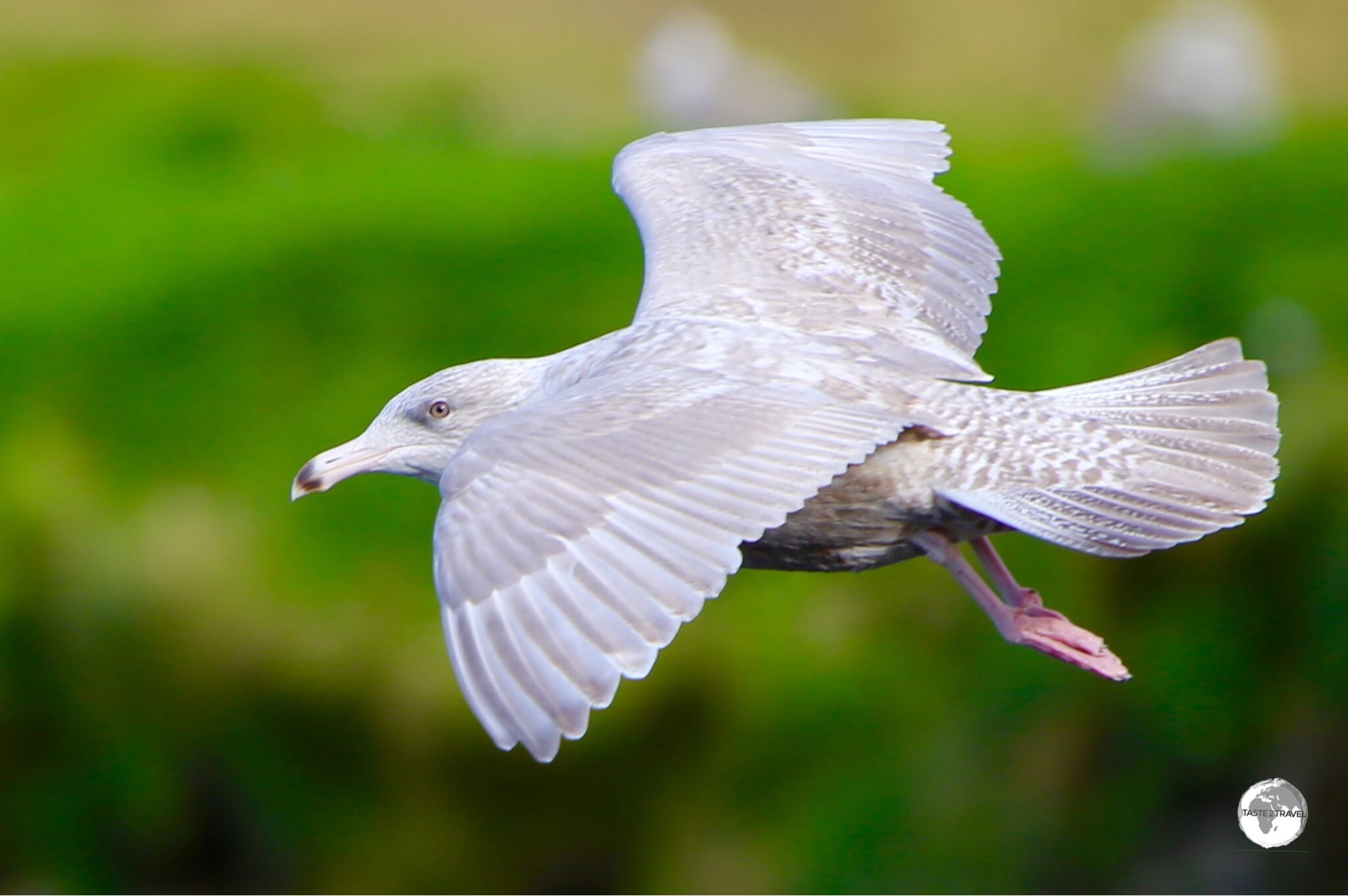
An Iceland gull flying at Ólafsvík.
Accommodation
Not cheap! International chains have few footholds in Iceland, however there are plenty of guest houses and hostels in Reykjavík and around the island. I stayed at the Norðurey (Nordurey) guest house in downtown Reykjavík, where a standard room cost me US$110 per night (all rooms use shared bathrooms).
Housed inside an old (drab on the outside) apartment block, the modern, crisp interior has been tastefully renovated using lots of IKEA products.
The property is kept spotlessly clean by the friendly staff who come onsite each day. Included is a beautiful, spotlessly clean, kitchen which allows guests to self-cater, saving lots of money in a country where a sandwich can cost US$20!
If I had my time again I would not base myself Reykjavík, instead I would use it as a start and end point for a trip around the island. While Reykjavík is interesting for half a day, it’s not nearly as interesting as the natural sights located further afield.
Each day I ventured into the amazing countryside, passing lots of guest houses along the way and then each evening I had to drive back to my base in the capital – crazy!
A good starting point for booking accommodation is the accommodation.is website. Many Icelandic guest houses cannot be found on regular online travel sites but more and more are appearing on Airbnb.com.
Eating Out
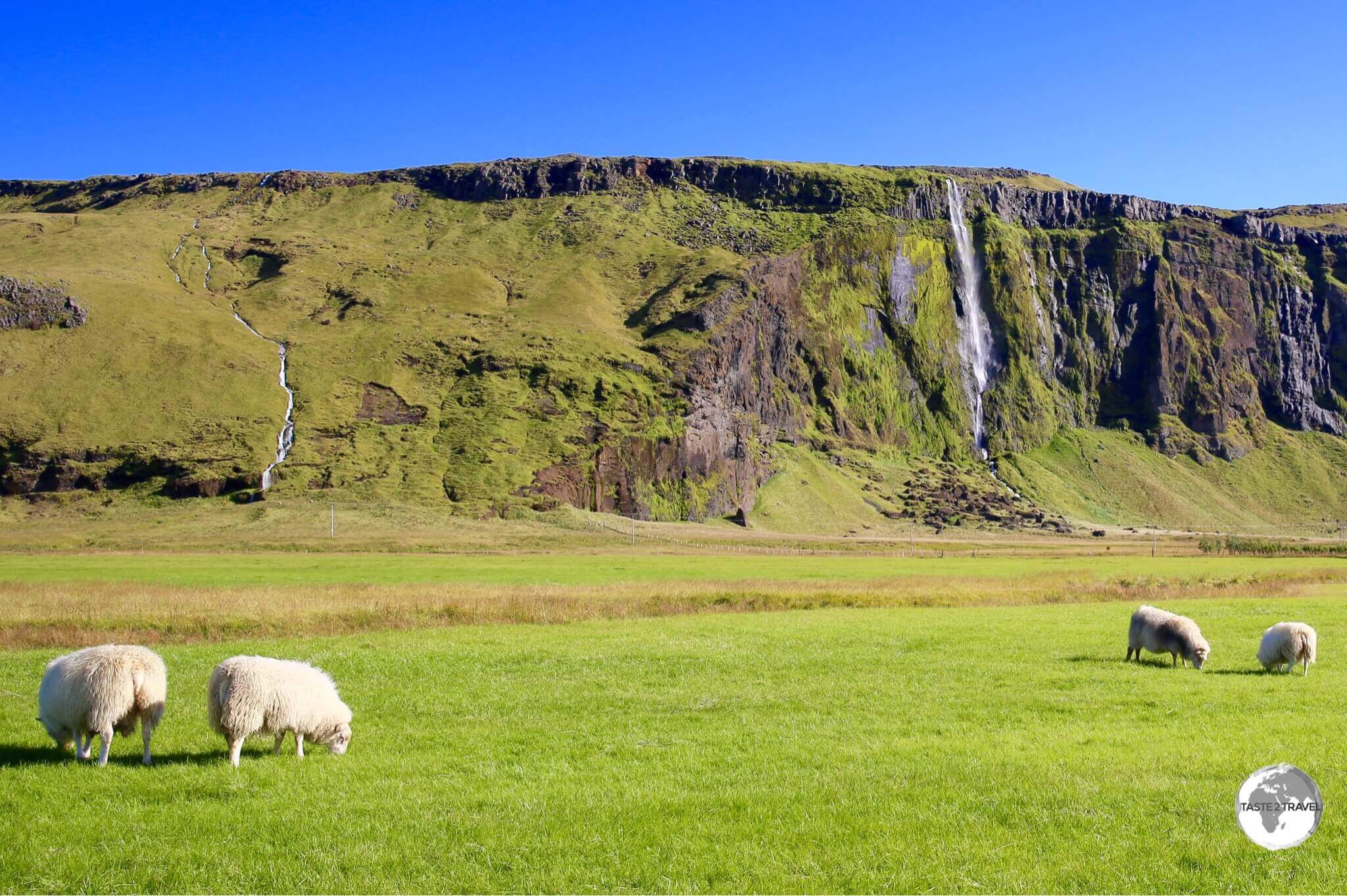
No mass food production in this bucolic paradise.
From Minke whale to smoked puffin – like the country itself, the cuisine of Iceland is an adventure. Restaurants in Reykjavík offer all sorts of unique delicacies including whale meat which can be eaten raw or cooked.
The meat is red and is more related to beef (no fishy taste at all!), albeit a healthier, leaner version. Icelanders will tell you that Minke whale is not an endangered species, but for many visitors it’s still whale and that’s a no-go. A good place to try a sampling of everything Icelandic is at Tapas Barinn in downtown Reykjavík.
Chip shop in Reykjavik.
My personal favourites were Icelandic lamb (all of which is free range and very organic) and ling – a local member of the cod family which is plentiful in the waters around Iceland. The best lamb I tried was served at the new Icewear restaurant in the south-coast town of Vik.
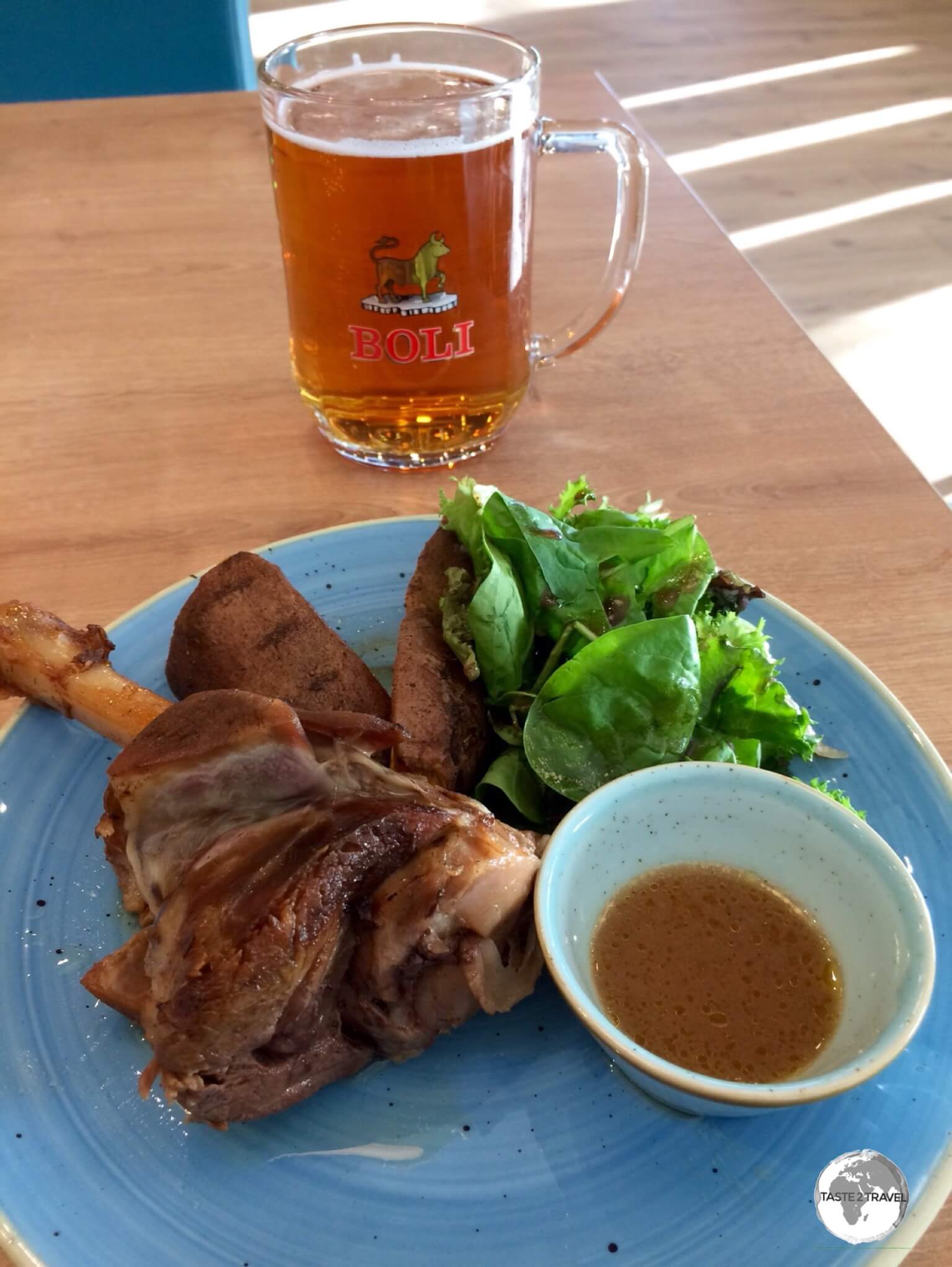
Amazing lamb leg served at the Icewear restaurant in Vik.
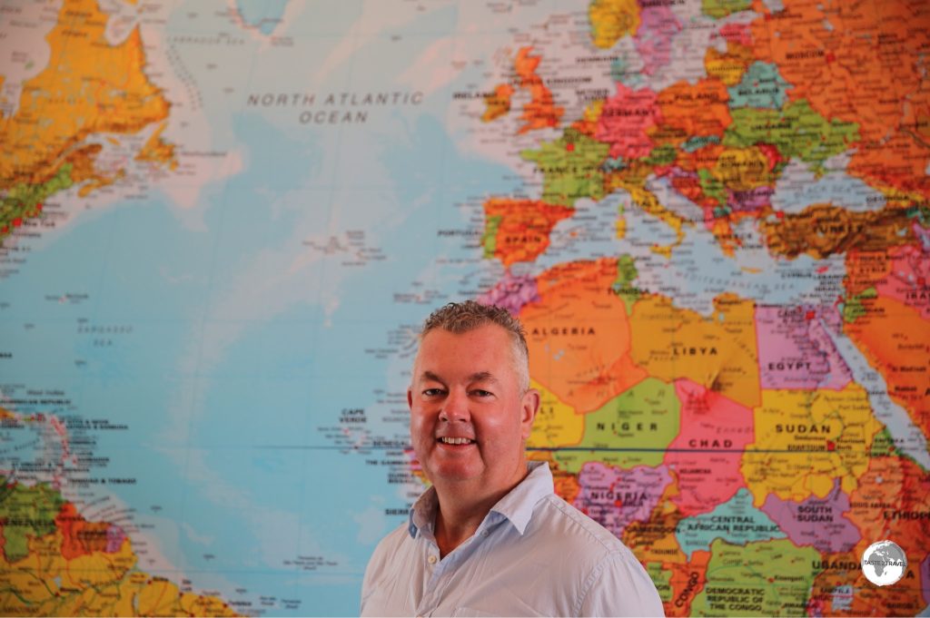
The best ling I tried was served at Fish & More in downtown Reykjavík (their wall-sized World map is very cool).

The different flavours of Skyr, the most amazing yoghurt on earth.
Source: skyr.is
Worth a special mention is Skyr, which is a low-fat dairy product that resembles yogurt but isn’t. It has the consistency of a cream mousse but contains hardly any fat! It’s a product that’s unique to Iceland and something I was hooked on.
Visa Requirements
Some nationalities require visas for Iceland, which is a Schengen state. Check your visa requirements prior to arrival.
Getting There
Despite its remote geographical location, getting to Iceland is relatively easy for those travelling between Europe and North America, all thanks to the national carrier – Icelandair – who have turned their hub (Keflavík International Airport) into a trans-Atlantic travel hub. There’s nothing like an inducement to motivate traveller’s and Icelandair’s free stopover offer is a big carrot that has proven very popular with tourists with arrival number’s increasing from 500,000 in 2010 to 1,800,000 in 2016.
By Air

Most visitor’s to Iceland arrive at Keflavík International Airport (KEF), the largest airport and the hub for the nation’s two main carriers – Icelandair and WOW Air. Located 49 km (30 mi) SW of Reykjavík, the airport can be reached by bus or car.
The following airlines operate regular scheduled services to and from Keflavík:
- Air Berlin – flights to Berlin–Tegel, Düsseldorf
- Air Iceland Connect – flight to Akureyri
- Atlantic Airways – flight to Vágar (Faroe Islands)
- British Airways – flight to London–Heathrow
- Delta Air Lines – flight to New York–JFK
- easyJet – flights to Edinburgh, London–Gatwick, London–Luton, Manchester
- Icelandair – flights to Amsterdam, Bergen, Berlin–Tegel, Birmingham, Brussels, Boston, Chicago–O’Hare, Cleveland, Copenhagen, Denver, Dallas/Fort Worth, Frankfurt, Glasgow, Helsinki, London–Gatwick, London–Heathrow, Manchester, Minneapolis/St. Paul, Munich, New York–JFK, Newark, Orlando, Oslo–Gardermoen, Paris–Charles de Gaulle, Paris–Orly, Seattle/Tacoma, Stockholm–Arlanda, Tampa,Toronto–Pearson, Vancouver, Washington–Dulles
- Lufthansa – flight to Frankfurt
- Norwegian Air Shuttle – flights to Barcelona, Oslo–Gardermoen
- Scandinavian Airlines – flights to Copenhagen, Oslo–Gardermoen
- Wizz Air – flights to Budapest, Gdańsk, Katowice, Prague, Riga, Vilnius, Warsaw–Chopin, Wrocław
- WOW Air – flights to Amsterdam, Baltimore, Berlin–Schönefeld, Boston, Brussels, Cincinnati Cleveland, Copenhagen, Detroit, Dublin, Edinburgh, Frankfurt, Gran Canaria, London–Gatwick, London–Stansted, Los Angeles, Miami, Montréal–Trudeau, Newark, Paris–Charles de Gaulle, Pittsburgh, San Francisco, St. Louis, Stockholm–Arlanda, Tel Aviv–Ben Gurion, Toronto–Pearson, Warsaw–Chopin
Reykjavík Airport (REK) is the second largest airport and is more conveniently located – just 3 km from downtown Reykjavík. The airport serves domestic flights and is a hub for Air Iceland Connect (a subsidiary of Icelandair) which operates flights to Greenland and the Faroe Islands (through Atlantic Airways).
The following airlines operate regular scheduled services to and from Reykjavík:
- Air Iceland Connect – flights to Akureyri, Egilsstaðir, Ilulissat, Ísafjörður, Kulusuk, Nuuk (Greenland)
- Atlantic Airways – flight to Vagar (Faroe Islands)
- Eagle Air – flights to Bíldudalur, Gjögur, Húsavík, Höfn, Vestmannaeyjar
- Mýflug – flight to Akureyri
Getting Around
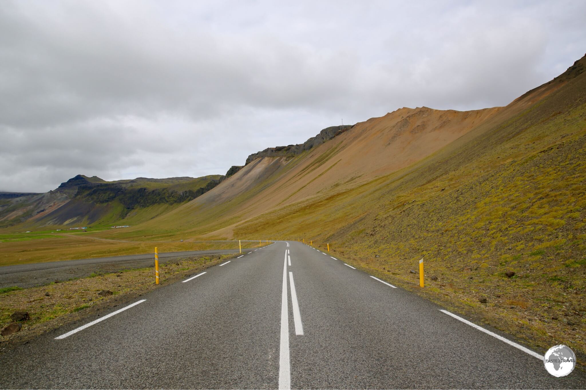
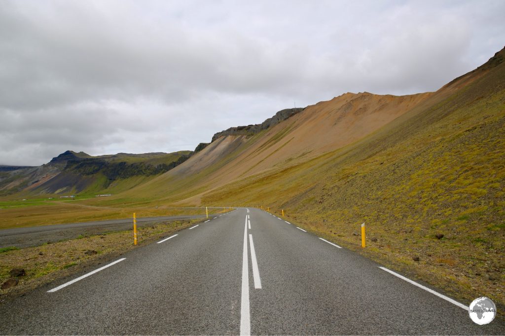
The excellent highways in Iceland, such as this one on the west coast, are normally free of traffic.
Bus
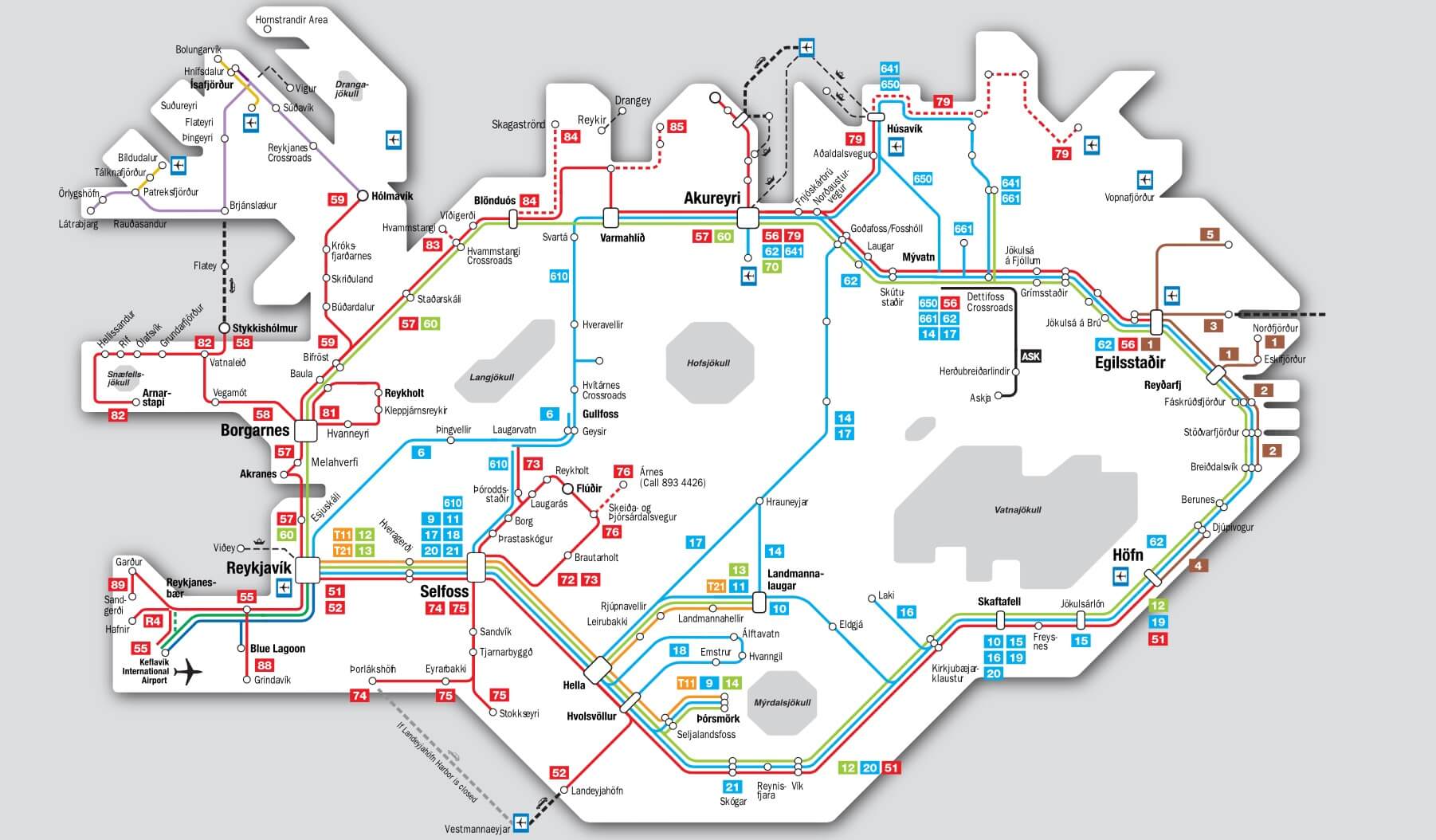
Iceland Public Transport Map.
Source: www.publictransport.is
Iceland has an extensive network of long-distance bus routes, all of which are detailed on the clickable, route map on the website www.publictransport.is
Bus Passports are sold on the ‘Iceland by Bus‘ website. A passport covering a journey around the entire ring-road currently costs 37,900 ISK. If you’re more than one person, it can be more economical to hire a car.
Taxi
Uber or Lyft have yet to make it to Iceland. Taxi’s can be found on ranks in downtown Reykjavík or can be booked in advance from one of the following companies:
- Hreyfill (Tel:+354-588-5522)
- BSR (Tel: +354-561-0000).
Train
There are no trains on Iceland.
Ferry
Seatours operate regular ferries to various islands.
Car
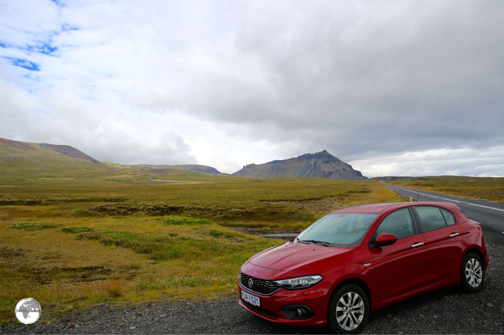
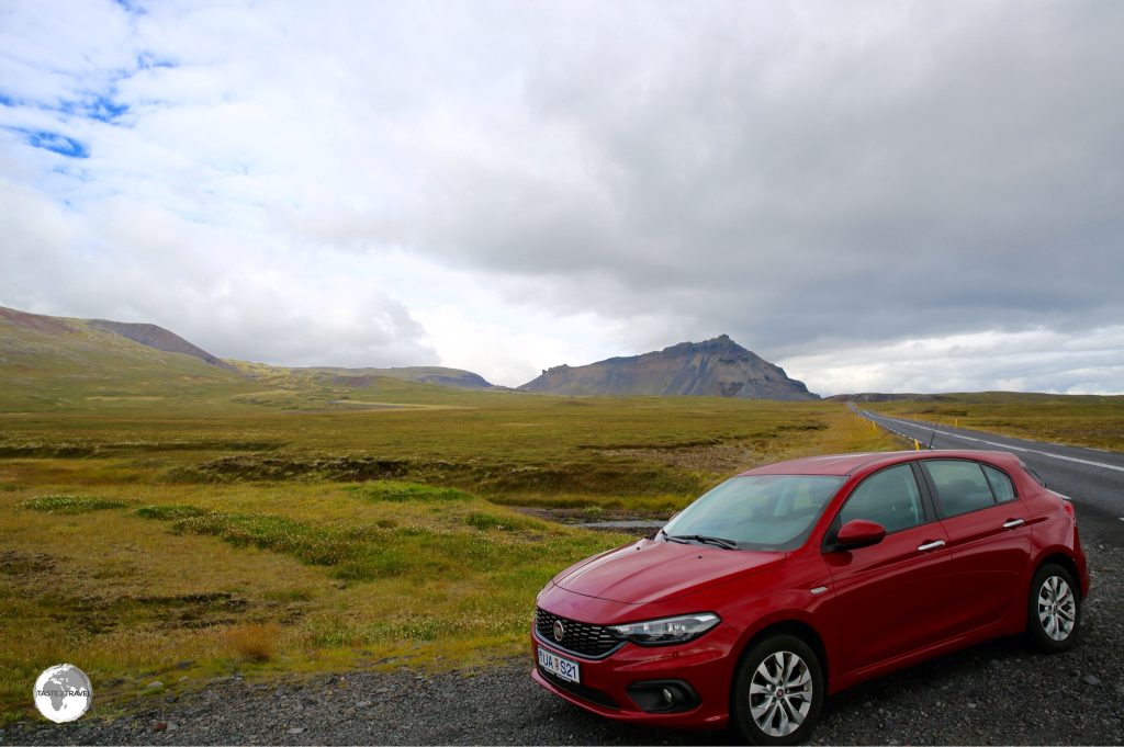
My rental car on the Ring road.
The best way to maximise your time on Iceland is to hire a car. I rented a car through Green Motion, who have an office near to Keflavík airport. Driving in a country like Iceland presents it’s own set of unique challenges, these are outlined here.
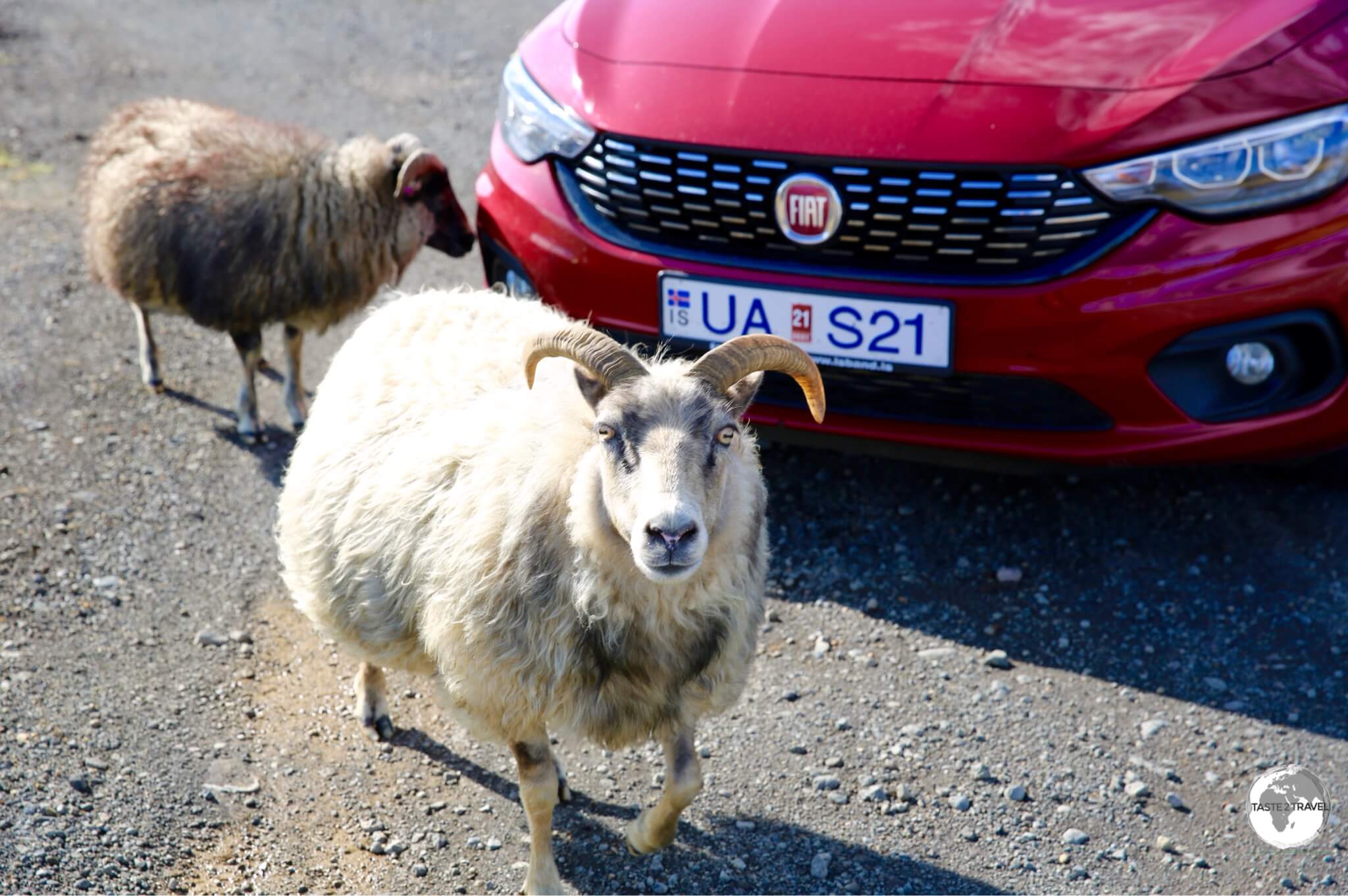
I did make some friends while driving around Iceland, like these friendly Icelandic sheep. who surrounded my car so I couldn’t leave them.
If you’re on a budget and don’t mind sleeping in your vehicle, there are plenty of companies which hire camper vans. A good place to start is happycampers.is who offer a range of vehicles, all of which are equipped with beds and rooftop solar panels.
That’s the end of my Iceland Travel Guide.
Safe Travels!
Darren
Follow me on Instagram:
Further Reading
Other travel reports from the Nordic region:
Iceland Travel Guide Iceland Travel Guide Iceland Travel Guide Iceland Travel Guide Iceland Travel Guide Iceland Travel Guide Iceland Travel Guide Iceland Travel Guide Iceland Travel Guide Iceland Travel Guide Iceland Travel Guide Iceland Travel Guide Iceland Travel Guide Iceland Travel Guide Iceland Travel Guide
