
Essequibo Region Travel Guide
Welcome to the taste2travel Essequibo Region Travel Guide!
Date of Visit: August 2017
Introduction
Guyana
Guyana
Guyana
Guyana
Guyana
Guyana
The Essequibo region in western Guyana is defined by the mighty Essequibo River – the largest river in Guyana and the largest river between the Orinoco (Venezuela) and Amazon (Brazil).
The source of the river lies in the Acarai mountains near the Brazil-Guyana border and for most of it’s 1,014 kilometres (630 mi) northerly meander it passes through uninhabited rainforests and savanna, finally emptying into the Atlantic Ocean, downstream from the town of Parika.
The river is home to many islands including Leguan and Wakenaam, both of which are located in the 20 km (12 mi) wide mouth of the river.
There are few towns along the river, with Bartica and Parika being the biggest and almost no infrastructure, except for speedboats which connect remote Amerindian (indigenous) communities.
Unless specified, all prices in this blog are expressed in Guyanese dollars (GYD), which converts at USD$1 = GYD$210.
Territorial Dispute

Map showing the disputed Essequibo territory (pink).
The Essequibo region (comprising 60% of Guyana’s territory), has made international news headlines recently due to an ongoing territorial dispute with neighbouring Venezuela.
The dispute, which has no legal grounds, is being fuelled by Venezuela’s embattled President, Nicholas Maduro, and is (rightly) viewed as a distraction from the many issues he is facing at home. You can read more about the dispute here.
Getting There

The iconic wrought-iron clock tower of Stabroek Market in Georgetown.
International access to Guyana is via the capital city of Georgetown, where you’ll find travel agencies who can book you on organised day-trips or overnight trips throughout the Essequibo region. Tours in Guyana are not cheap so if you’re on a budget, you might prefer to make your own travel arrangements, which is easy to do.
Access to the Essequibo is via the port town of Parika, which lies on the eastern bank of the river, upstream from the Atlantic ocean. Parika is 42 km (one hour) west of Georgetown, at the end of a highway (currently being upgraded), which crosses the 2 km long floating Demerara harbour bridge. Frequent mini buses – often driven by kamikaze drivers – connect Georgetown (Stabroek market) to Parika at a cost of $500.
Getting Around

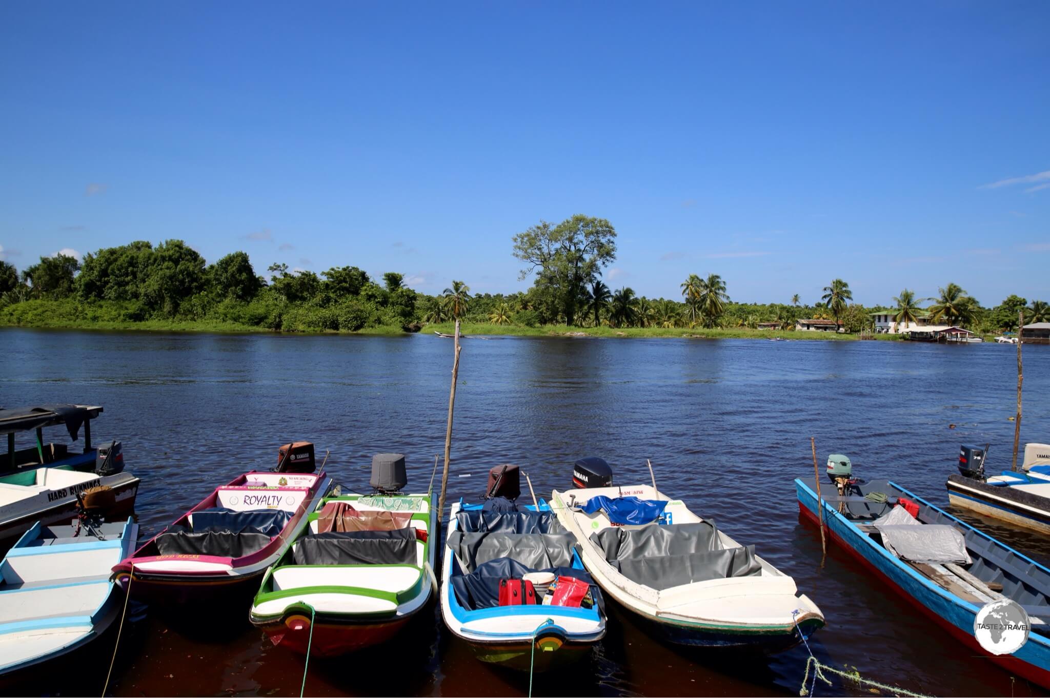
Passenger speedboats at Parika port.
From Parika, small speedboats depart (whenever full) to all points along the river. Early morning is the best time to travel, with no boats allowed to commence travel after 6 pm due to a lack of navigational devices on the boats or buoys on the river – it’s dark out there after sunset!
Current one-way fares (GYD$) are:
- Parika – Bartica = $2,500
- Parika – Wakenaam Island = $1,000
- Parika – Leguan Island = $1,000
- Parika – Supernaam (for Anna Regina and Charity) = $1,300
Places of Interest
Parika

A family at Parika port waiting for their boat.
A chaotic, crowded, polluted, noisy, smelly riverside port town – Parika serves as a transport and freight hub for the Essequibo region. The best thing you can do in Parika is get on the first boat out of town. If you are stuck in town, there are restaurants and food stores around the wharf and a Scotia Bank (with ATM’s), which is handy since there are few banks throughout the region.
Bartica

Girls walking along the bank of the Essequibo river in Bartica.
My first trip on the Essequibo took me 58 km upstream from Parika to the town of Bartica (pop. 15,000), which is located at the confluence of the Essequibo and Mazaruni rivers. The journey (in a fast speedboat) took one hour, with the boat dropping us at the stelling (wharf) which is located directly downtown.

A red-earth beach on the Essequibo river in Bartica.
The name ‘Bartica‘ is derived from an Amerindian word meaning ‘red earth’, which covers the entire region and provides red sand for the local river beaches.

Locals in Bartica escape the stifling, mid-day, heat by taking shelter in covered stands along the banks of the Essequibo river.
One thing I noticed while walking around town were the large number of gold dealers and mining services shops. Bartica is the first stop for miners returning from the gold fields (with pockets full of treasure) and the last stop for those heading to the mines (last minute deal on explosives anyone?).

Piranha Caju fish, from the Essequibo river, on sale at Bartika market.
Apart from mining-related businesses, there is a colourful produce market housed in a building on the river, where local fisherman sell their fresh catch of the day – including the Piranha Pacu fish, which is a herbivorous freshwater fish, related to the Piranha.
I got to sample Pacu later in the day when I had lunch at a Brazilian restaurant. When it comes time to eat – I would recommend eating at one of the Brazilian restaurants on 2nd avenue.
The restaurants cater to the small army of itinerant Brazilian gold miners who work in the region and serve up traditional Brazilian cuisine – including Pacu fish, rice and beans, spaghetti and the ubiquitous farfola (toasted cassava flour seasoning, which Brazilians sprinkle onto every meal) – with typical Brazilian hospitality.

Typical road in the interior – outside Bartica.
Located 10 km inland from Bartica are the BK falls. There is no public transport to these remote falls but taxis from Bartica will drive you out (on a very rough road) and wait while you swim then return you to town for about $8,000.
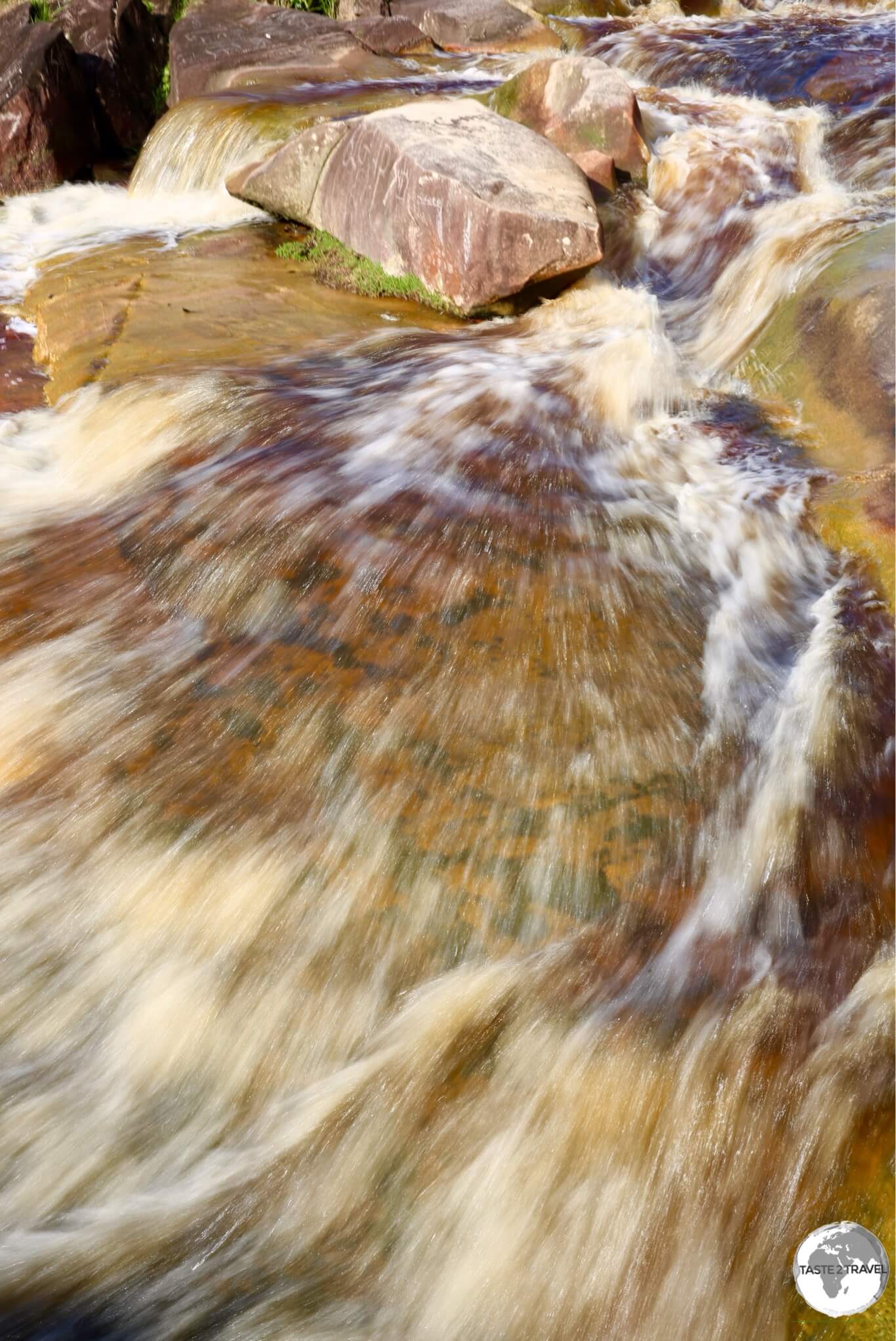
Swimming at the BK waterfall outside of Bartica.
Like all other water in the region, the water in the falls is the colour of black tea. Unfortunately ongoing quarrying operations from BK International have scared the environment around the falls.
Fort Island

One of the oldest structures in Guyana, the Dutch-built Fort Zeelandia was constructed in 1743 on Fort Island.
Located 16 kilometres from the mouth of the Essequibo River, Fort Island was once the capital of the Dutch colonies of Essequibo and Demerara during the 16th and 17th centuries. Originally known as Flag Island because of a large flag that was flown as a guide for ships, the island was later renamed for the fort located at its northern end.
During the 17th century, the Dutch government created a centre of government and defence on the island to protect the interests of the Dutch West Indies Company against European rivals who were active in the region.
The main defence component was Fort Zeeland – named after Zeeland county in the Netherlands from which many of the settlers originated.
Originally built from wood (which quickly deteriorated), the fort was later rebuilt by African slaves using bricks which were baked onsite. The Lozenge shaped design of the fort, is similar to other forts constructed in West Africa during that period.
The fort consisted of a redoubt of fifty square feet, with walls thick enough to endure the heaviest ordnance, however by 1781 the fort was no longer in a fit state and, following an invasion by British privateers, was surrendered by the Dutch.
The British takeover was short-lived, as the French captured the island the following year. The Dutch regained control of the fort two years after and by 1796, the fort went into a long period of decline, as attention shifted to the colony of Demerara.

Abandoned in 1781, the Dutch-built Fort Zeelandia is the namesake of Fort Island.
Also worth visiting on Fort Island is the former Dutch administrative building – the Court of Policy. Restored in 2000 by the Guyana National Trust, the building originally served as a church, Court House and administrative office and today houses a small museum which provides ab overview of the Dutch colonial period.

The ‘Court of Policy’ building on Fort Island.
The building also features three original tombs embedded the floor of the museum; Commander and Court member Johanes Backer, Laurens Backer (who died at the age of one) and Michael Roth, a doctor for the British West India Company.

The tombstone of Laurens Backer which is embedded in the floor of the ‘Court of Policy’ building.
At its peak, the island was the seat of government for the colonies of Essequibo and Demerara, but was later replaced by a larger capital in Georgetown.
Getting There
Boats to Fort Island leave from a special wharf (stelling) located at the end of the road south of Parika.
Wakenaam Island

A young cyclist racing our taxi on Wakenaam Island.
My next destination was sleepy Wakenaam (pop. 10,000), a 45 km2 island, located in the mouth of the Essequibo river. The island was occupied by Dutch settlers in the 18th century who named it ‘Wakenaam’ meaning ‘waiting for a name‘.

The boat to Wakenaam Island.
Included in the price of the boat ticket from Parika is a connecting mini bus shuttle which transfers passengers from the dock on the east coast to the main settlement (Sans Souci) on the west coast.
Sleepy Wakenaam receives very few tourists and offers very few services – no banks, no restaurants, one government-run Rest House, a post office, a wharf and a few general stores. The economy of the island is based on agriculture, with rice farming being the main occupation and everywhere I travelled on the island I saw the most beautiful, emerald coloured rice paddies.

Rice farming is the main occupation on Wakenaam Island.
Farmers also grow coconuts, plantain and various other vegetables and fruits. While walking along one quiet country lane (they’re all quiet on Wakenaam), I passed two young boys who were retrieving coconuts from a coconut palm. I must have looked hot and thirsty as they offered me a fresh coconut, the water of which was incredibly refreshing in the midday heat.
Apart from a couple of mini buses, there is no public transport on the island – so once I arrived in Sans Souci, I arranged a drive around the island (a journey of 60 minutes) with a taxi driver, for which I paid $3,000.

The friendly family, with whom I shared my taxi on Wakenaam Island.
The first stop on our ‘island tour’ was to collect a family who the driver had previously agreed to drive to the corner store. They were very surprised to see a tourist sitting in the front seat of their taxi – a stranger who would intrigue and amuse them all the way to the shop. After dropping off the family, we continued on a circuitous route, along very rough roads, around the island, passing miles of rice paddies, each one lined with water-filled trenches, which are home to Caiman.

Travelling alongside the Essequibo river on Wakenaam Island.
If you love bird-watching then Wakenaam island is heaven (actually – all of Guyana is a bird-watchers paradise). I did a 6 km walk out of town and saw many feathered creatures in the fields.

A Savannah Hawk on Wakenaam Island.

A Yellow-headed Blackbird on Wakenaam Island.

A Great-tailed Grackle on Wakenaam Island.

A Ruddy Ground Dove on Wakenaam Island.

A Pied Water-Tyrant on Wakenaam Island.
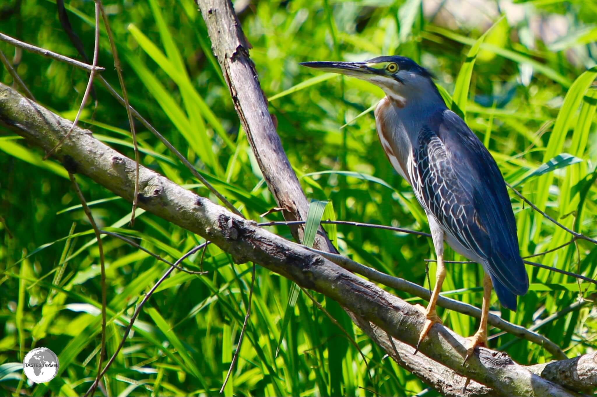
A Black-crowned Night Heron on Wakenaam Island.
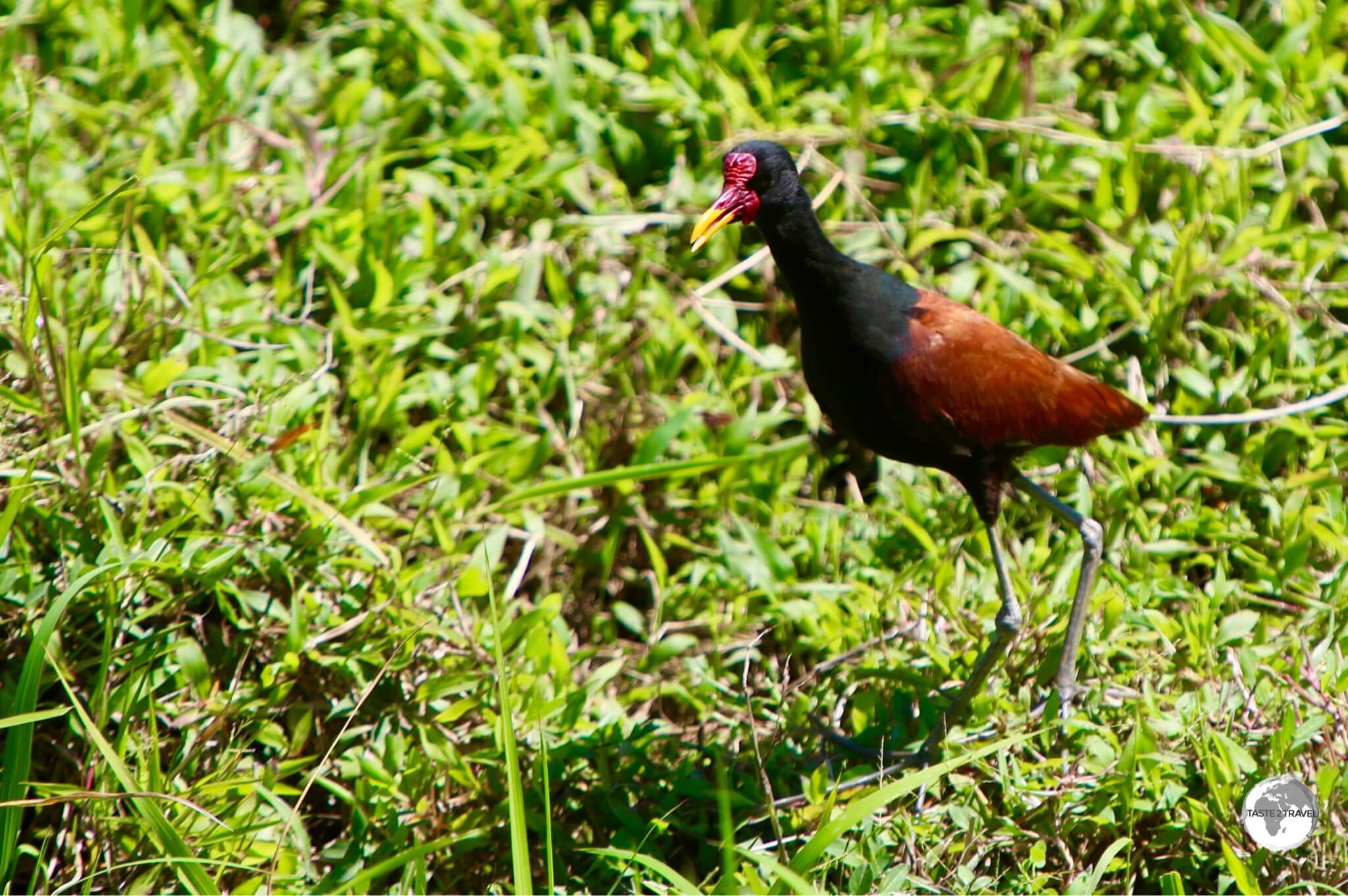
A Wattled Jacana on Wakenaam Island.
Apart from birds, there are lots of colourful butterflies on the island, including the Monarch.

A Monarch butterfly on Wakenaam Island.

Isabella’s Long-wing butterfly on Wakenaam Island.
Leguan Island

Essequibo river beach on Leguan island.
My next destination was Leguan Island, which sits in the mouth of the Essequibo alongside neighbouring Wakenaam Island. The stelling (wharf) on Leguan lies across the Essequibo from Parika, with the speedboat ride lasting 5 minutes. The wharf is conveniently located at the main settlement, where there are a few small shops, a bar and a few snackettes. With a population of just 4,000 (and declining) – Leguan is even sleepier than Wakenaam and – at 19 km2 – it’s less than half the size of its neighbour.
There are no restaurants, hotels, banks or other services on the island for tourists – however there is a 52-feet statue of Lord Hanuman (the largest in Guyana) built at a cost of USD$5 million.

The 52-feet statue of Lord Hanuman on Leguan Island is the largest such statue in Guyana.
Like Wakenaam, there is no public transport on Leguan so I negotiated with a local taxi driver to drive me around the island. There are three main paved roads (better condition than Wakenaam), two running along the north and south coasts and a road that bisects the island connecting the two coastal roads, forming the shape of a giant ‘H‘. During the drive I saw similar landscapes to those on Wakenaam – lots of rice paddies and farms.

The exterior of the abandoned St Peter’s Anglican Church on Leguan Island.
Highlights of the tour included visiting a nice river beach at the north-eastern end of the island (photo above), photographing a giant Hanuman statue at a Hindu temple and peering through the shuttered windows of historic St. Peter’s Anglican church (built in 1827), which is in a state of complete disrepair.

Interior of St. Peter’s Anglican Church on Leguan island.
Despite the agricultural job opportunities, the island’s population has been declining steadily over the last decade (it was previously double today’s figure) as people move elsewhere (including the United States) to seek employment.

One of the many abandoned cottages on Leguan Island.
This exodus has left a lot of abandoned houses in its wake and resulted in plots of land being sold for just USD$4,000.

Abandoned house on Leguan Island.
Anna Regina

Young boy swimming in Lake Mainstay.
My last destination was the west bank town of Supernaam, a journey which took me, via speedboat, across the entire 20 km wide mouth of the Essequibo river. From Supernaam, I took a connecting taxi into the regional capital of Anna Regina (45 minutes on a good, fast road). While I found nothing captivating about the regional capital, there are two beautiful ‘black water’ lakes located a short drive inland – Lake Mainstay and Lake Capoey.
As for accommodation, I spent two nights at the Oasis hotel in nearby Queenstown. It’s enough to say this hotel is anything but an Oasis.
Lake Mainstay

The tea-coloured water of Lake Mainstay.
Located 10 km inland from Anna Regina (at the end of a long sandy road), Lake Mainstay is a large black-water lake. Black water rivers and lakes are common in Guyana – the result of tannin’s leached from jungle vegetation into the water.

The dark waters of Lake Mainstay.
The lake is home to the Lake Mainstay Resort, which features a selection of rooms, a restaurant and a nice stretch of white-sand beach lined with benab’s (shelters). Day-tripper’s pay $400 to enter the resort, which can be reached in 15 minutes from Anna Regina via a (not-too-frequent) mini bus ($300), which leaves from the marketplace.

The beach at Lake Mainstay.
Lake Capoey
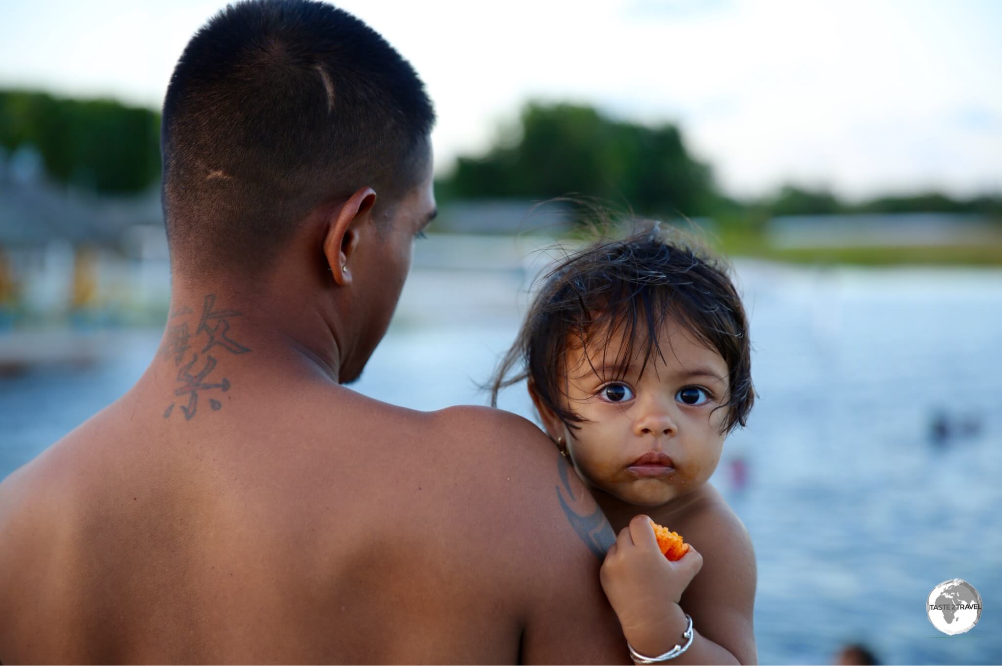
Father and daughter enjoying a sunset swim on beautiful Lake Capoey.
Lake Capoey is a true paradise! This little-known piece of heaven is one of the largest lakes in the Essequibo region and is located a short drive north of Queenstown (a few kilometres east of Anna Regina).

Valisha enjoying the black waters of the Lake Capoey.
The black-water, white-sand beach features benabs, a jetty and not much else – except pure nature. I visited during sunset and saw white egrets feeding in the reeds which surround the shoreline.

Sunset at Lake Capoey.
A sunset swim in the lake is a great way to end at hot day in the Essequibo. The water temperature is quite warm and once the sun goes down, the stars come out and the lake (far removed from civilisation) becomes the perfect place for star gazing.

Father and son enjoying a swim in the black waters of Lake Capoey.
Charity

Young boy playing dominoes at Charity dock.
Literally, the end of the road in western Guyana, well – the tarmac at least – Charity is the main service centre for this part of the country and can be reached by frequent mini bus ($300) from Anna Regina in less than an hour.

Boat on the Pomeroon river at Charity.
This bustling town sits on the banks of the Pomeroon river and – like Parika – serves as a transport and logistics hub for remote indigenous (Arawak) communities located along the river and west to Venezuela. If you wish to travel any further west you’ll need to transfer to a speedboat in Charity.
Passenger speedboats on the Pomeroon River in the riverside town of Charity.
Like most end-of-the-road towns, Charity has a frontier feel to it, but – with it’s colourful market, riverside cafes and restaurants – it also offers a degree of charm. Due to economic instability in neighbouring Venezuela, Charity has seen a recent influx of citizens from that country (both traders and shoppers), who add to the ‘frontier’ feel and flavour of the town.

Riverside shop in Charity. I really wanted to buy the handmade wooden boat.
If your time is limited and you want to take a short cruise along the river, local boatman can be hired at the wharf for about $10,000 for 45 minutes.

Coconut Transport boats in Charity.
That’s the end of this report from enchanting Guyana.
Safe Travels!
Darren
Follow me on Instagram:

Further Reading
Other travel reports from the region include:
- Amazon River Journey
- French Guiana
- French Guiana (Cayenne Carnival)
- Guyana
- Macapa to Manaus via the Guiana’s
- Suriname
- Venezuela (Gran Sabana Region)
Essequibo Region Travel Guide Essequibo Region Travel Guide Essequibo Region Travel Guide Essequibo Region Travel Guide
Essequibo Region Travel Guide Essequibo Region Travel Guide Essequibo Region Travel Guide Essequibo Region Travel Guide
Essequibo Region Travel Guide Essequibo Region Travel Guide Essequibo Region Travel Guide Essequibo Region Travel Guide
Author: Darren McLean
Darren McLean is an Australian full-time digital nomad who has spent 36 years on a slow meander around the globe, visiting all seven continents and 239 UN+ countries and territories.
He founded taste2travel to pique one’s curiosity and inspire wanderlust.


Ԍooԁ day! Would you mind if I sharе your blog with my
facebook group? There’s a lot of folks that I think wouⅼd really enjoy ʏour cօntent.
Pleaѕe let me know. Cheers
Hello Benny!
Please feel free to share this blog.
Regards,
Darren