
Baarle Hertog Nassau Travel Guide
This is a Baarle Hertog / Baarle Nassau Travel Guide from taste2travel.
Date Visited: February 2021
Introduction
Imagine a scenario whereby you wake up in the morning in your bedroom, which is in Belgium; you walk across the hallway to the bathroom, which is in the Netherlands, to take a shower; you then proceed downstairs to the kitchen, which is Belgium, and prepare breakfast; after which you adjourn to the living room, which is in the Netherlands, to finally relax.

Baarle Nassau (NL) and Baarle Hertog (B) is home to almost half the world’s enclaves.
Sound bizarre?
This is the daily reality faced by some of the residents of Baarle-Hertog / Baarle-Nassau, a small town near the Dutch/ Belgium border which is home to almost half the enclaves on planet Earth.

Souvenir magnets at the Baarle tourist office feature common sights seen in Baarle, from border markers to house numbers.
If, like me, you have an interest in geographical anomalies, a visit to ‘Baarle‘ should be high on your travel bucket list. It really is fascinating!

The former Baarle town hall which was shared between the Dutch and Belgium governments.
Tucked away in a quiet corner of the Netherlands, just across the border from Belgium, lies the unassuming town of Baarle-Nassau/ Baarle Hertog, a typical hamlet which you could easily pass through without noticing anything odd.

The new Belgium Town Hall which sits on the border.
However, there is something peculiar about Baarle, something which draws throngs of camera-toting tourists.
Baarle is a twin town which lies within both the Netherlands (Baarle Nassau) and Belgium (Baarle Hertog).

A line on the road in downtown Baarle indicates the meandering border line.
This quiet border town, which covers an area of just 7.48 square kilometres (2.89 square miles), is the site of possibly the most complicated frontier in the world, a place where a map of the border looks more like a complex mosaic!

The Baarle Cultural Centre, on Pastoor de Katerstraat, is divided between two countries.
Contained within Baarle are no fewer than 22 Belgium enclaves. To confuse matters even further, there are seven Dutch exclaves within Baarle-Hertog (i.e. parcels of Dutch land separated from the Netherlands by Belgium territory).

A map of the enclaves and exclaves of Baarle.
Source: Wikipedia
This rather confusing map of Baarle shows the parcels of land which belong to Belgium (dark yellow) and the parcels of Dutch land (light yellow).
The Belgium territories (all prefixed with an ‘H’ for Hertog) are enclaves as they are completely surrounded by the Dutch province of Brabant, while the small parcels of Dutch territories (all prefixed with an ‘N’ for Nassau), completely enclosed by Belgium territory, are exclaves.
As can be observed on the map, there are seven Dutch exclaves contained inside of H1 and H8 (these are numbered N1-7).
Enclaves and Exclaves Explained!

Enclave/ Exclave Diagram.
An enclave is a territory that is entirely surrounded by the territory of one other state. In this case, Baarle-Hertog (Belgium) is enclaved by the Netherlands as it’s surrounded entirely by the Dutch province of Brabant. In the diagram above, ‘C’ is an enclave of ‘A’.
An example of two enclave nations are San Marino and the Vatican City, both of which are completely surrounded by Italy.
An exclave (also known as a counter-enclave) is a portion of a state geographically separated from the main part by surrounding alien territory. In the diagram above, ‘C’ is an exclave of ‘B’.
There are seven Dutch exclaves in Baarle.
Baarle – The enclave champion!

Home to almost half of the world’s enclaves, Baarle is the ‘Enclave Champion’.
There are 64 enclaves in the world, with Baarle being home to almost half of them. This makes Baarle the Enclave champion!
History

On display at the tourist information centre, a satellite image of Baarle indicates the different enclaves and exclaves.
How was this confusion created?
The history of this bizarre geographical phenomenon goes back to the Middle Ages, when properties were divided up between aristocratic families – well before neat, modern borders were created!
The genesis for today’s enclave’s dates back to 1198 when Duke Hendrik I of Brabant (ancestral lands now in the Netherlands) leased land in Baarle to his neighbour, Godfried II of Schoten, the Lord of Breda (ancestral lands now in Belgium).
At the time, overlords generated income from taxes levied on productive land (i.e. farmed land). The Duke of Brabant kept the income-generating farmland for himself and leased the remaining land to the Lord of Breda. These lands were in and around Baarle and therefore the basis for the enclaves.
Life in Baarle continued without any issue until 1830, the year Belgium gained independence.
A few years later, in 1843, a formal border was determined between Belgium and the Netherlands. Surveyors worked their way, step by step, from the coast of the North Sea to the border of the German states.
At the time, the complex border mosaic in Baarle was placed in the ‘too-hard-basket‘ and left for another time.
As the border was marked out, markers were placed along the way. Marker number 214 was the last marker before Baarle. A gap of 52 km was left, to be determined once the mosaic of borders could be clearly understood, with marker number 215 marking the continuation of the border.

Border marker #214 and 215, commemorates the completion of the border in Baarle.
So difficult was the task of determining the border in Baarle that it wasn’t until 1974 that a map of the border was created and the border between the two countries was finalised. This event is commemorated by a marker in downtown Baarle.

A plaque on the main square, and on the border, commemorates the finalisation of the frontier in Baarle.
Enclave Benefits
This geographical oddity has created some interesting situations throughout history.
During the First World War, although the German Imperial Army occupied Belgium, it could not occupy Baarle-Hertog since it would have to cross Dutch territory, which the Dutch government wouldn’t allow. Thus, Baarle-Hertog became a place where refugees could safely stay.
More recently, during the Covid-19 pandemic, the Belgium government enacted much tougher restrictions than the Netherlands government. While businesses in Belgium endured long periods of lockdown, and remained shut, Dutch businesses could operate freely. For those in Baarle, it simply meant crossing the street to access an open restaurant or bar.
Building Regulation

The owner of this apartment building skirted a Dutch building restriction by installing a second front door on the Belgian side of the border.
While most houses in Baarle lie within one country, a few truly odd properties lie in two countries!
Such properties are indicated by two completely different house numbers, as can be seen on the property featured above which is located on Desirée Geeraertstraat at #7 (Netherlands) and #2 (Belgium).
The determination for deciding in which country a property is located is based on the location of the front door. In some cases, an extra front door has been added, most often on the Belgium side of the border, for good reason!

Located at Chaamseweg 10, this apartment building is known as the ‘Front door swap’ house.
Building permits and regulations are much more relaxed in Belgium than in the Netherlands. Landlords, who own a property located on a border line, find it much easier to renovate or change their property by dealing with the Belgium authorities!
By installing a front door on the Belgium side of their property, they can circumvent the stricter Dutch controls.
An example of this can be seen at Chaamseweg #10, where the landlord installed an extra door on the Belgium side of the border, allowing him to make changes to his property which wouldn’t have been approved by the Dutch authorities.
Financial Loopholes

The Hoogbraak Business Centre was once home to ‘Femisbank’.
Having an international border pass through a single building has also allowed some creative types to take advantage of financial loopholes.

A view of the border passing through the branch of the former Femisbank.
One such case was with Femisbank whose Baarle branch was located inside the Hoogbraak Business Centre, which straddles the border.
Whenever tax authorities from one country would arrive to view a clients’ financial records, those records would already have been moved across the room into the other country, allowing staff to state that the requested tax records weren’t available.
Needless to say, Femisbank lost its license to operate!
Cheaper Fuel
Other benefits of enclave living extend to cheaper fuel. Interestingly, there are no petrol stations in the Dutch parts of Baarle, but many in the Belgium areas.
As of February 2022, 1L of unleaded fuel in Belgium cost €1.70 while in the Netherlands, the same litre cost €2.10.
The many Belgium petrol stations in Baarle do a brisk trade with Dutch cars lined up along the roadside waiting for their turn at the pump.
Fireworks

One of many firework shops in Baarle-Hertog.
Known as Loots in Dutch, the sale and carriage of fireworks is illegal in the Netherlands, except at New Years. Such restrictions don’t apply in Belgium!
Baarle is famous for its fireworks shops, where local Belgium entrepreneurs sell fireworks all year long to Dutch consumers who normally cannot buy them.
Location
5111 Baarle-Nassau, Netherlands
Located in a very busy corner of Europe, Baarle is easily reached from either Belgium or the Netherlands.

Reaching Baarle is easily done from either Belgium or the Netherlands.
I based myself in Antwerp, from which Baarle is an easy (50 km) daytrip.
If using public transport from Antwerp, you can reach Baarle by taking one of the frequent fast trains to Turnhout then bus #460 which leaves from outside Turnhout train station.
Buses run once per hour to Baarle with a journey time of 20 minutes. Payment can be made onboard by tapping your credit card on the ticket reader.
Sightseeing
Throughout Baarle, there are different markers on the ground which are used to indicate the meandering border.

In Baarle, white crosses are used to indicate borderlines on footpaths along with a ‘B’ or ‘NL’.
White crosses are used to indicate borderlines on footpaths, along with a ‘B’ (Belgium) or ‘NL’ (Netherlands).

While white crosses indicate borders on footpaths, round, silver discs indicate borderlines on roadways.
While silver discs are used to indicate borderlines on roadways.
Baarle is a town where a Dutch resident could exit their house, walk across the street and be in Belgium, walk a hundred metres further to find themselves back in the Netherlands and then down to the end of the street to be back in Belgium again.

The tourist office in downtown Baarle flies the flags of Belgium and the Netherlands.
The best place to start your exploration is at the Baarle Tourist Information centre which is located at Singel #1 in the heart of town.

Walking tour map supplied by the Baarle Tourist Information centre.
The tourist office produces a ‘Welcome in Baarle‘ brochure which includes a useful walking tour map. The walk, which is a flat, 5km stroll, covers most of the sights of interest.

Markers on the ground indicate the route of the walking tour in Baarle.
It’s impossible to get lost as silver markers indicate the walking route!


While walking around Baarle, helpful markers on each light pole indicate which country you are in.
As you follow the walking trail, indicators on each light pole advise in which country you are presently located. This can change just by crossing the street.

House numbers in Baarle-Hertog feature Belgium flags.
Another clue as to which country you are in is provided by the house numbers, all of which feature the national colours of their country.
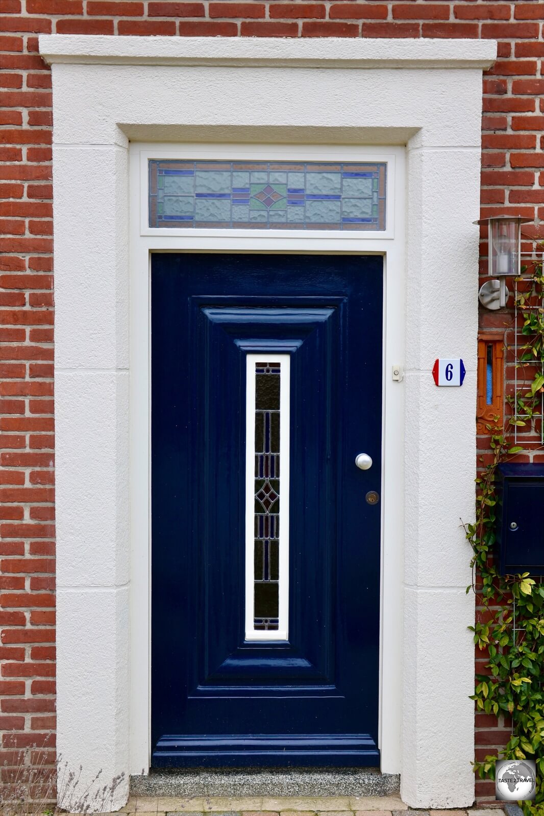
House numbers in Baarle-Nassau feature the Dutch colours.
For those on bicycles, signs indicate the ‘Enclaveroute‘ which takes you beyond town, into the surrounding countryside, where more enclaves await.

The ‘Enclaveroute’ allows you to visit all of the sights of Baarle by bicycle.
One of the highlights of Baarle is the house which is located at Loveren #19. This quaint brick home is the poster-child for Baarle tourism, with the border running up to the front door, dividing the house in two.

Divided between two countries, this house at Loveren #19 is the most photographed site in Baarle.
The house is located inside enclave H7, the smallest enclave in the world!
How big is H7? It’s large enough to contain one and a half houses and part of their backyards!

The divided house at Loveren #19 has two house numbers – Dutch (#19) and Belgium (#2).
Eating Out

A border marker on the main square, outside ‘Den Engel’ brasserie.
There are a cluster of restaurants and cafes on the main square around the tourist office, with the popular Den Engel located on the Dutch side of the border. Bus #460 from Turnhout stops on the square.
That’s the end of my travel guide for Baarle Hertog-Nassau.
I look forward to hearing your feedback regarding this guide.
Safe Travels!
Darren
Follow me on Instagram:

Further Reading:
Baarle Hertog Nassau Travel Guide Baarle Hertog Nassau Travel Guide Baarle Hertog Nassau Travel Guide Baarle Hertog Nassau Travel Guide